Desertification interpretation method based on satellite remote sensing technology

A technology of satellite remote sensing and technology, applied in the field of satellite remote sensing technology application

Inactive Publication Date: 2014-07-02
XIAN MEIHANG APPL OF SATELLITE DATA
View PDF3 Cites 13 Cited by
  • Summary
  • Abstract
  • Description
  • Claims
  • Application Information

AI Technical Summary

Problems solved by technology

Therefore, the monitoring of desertification distribution and its dynamic changes is an important basis for desertification control decision-making. However, the existing desertification interpretation methods based on satellite remote sensing technology have obvious technical defects, and a set of systematic interpretation methods is urgently needed. Monitoring and early warning of the region

Method used


Image

  • Desertification interpretation method based on satellite remote sensing technology
  • Desertification interpretation method based on satellite remote sensing technology
  • Desertification interpretation method based on satellite remote sensing technology

Examples


Embodiment Construction

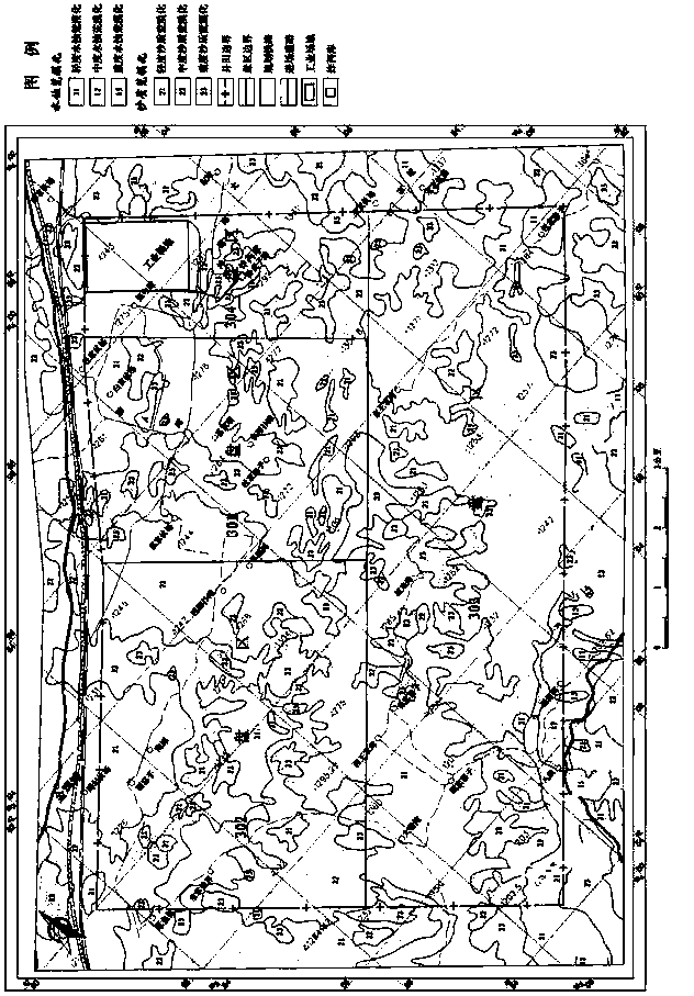
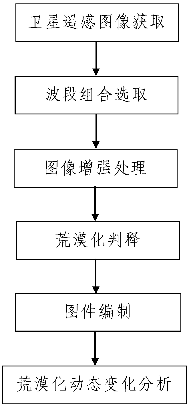
[0050] like figure 1 A desertification interpretation method based on satellite remote sensing technology is shown, including the following steps:

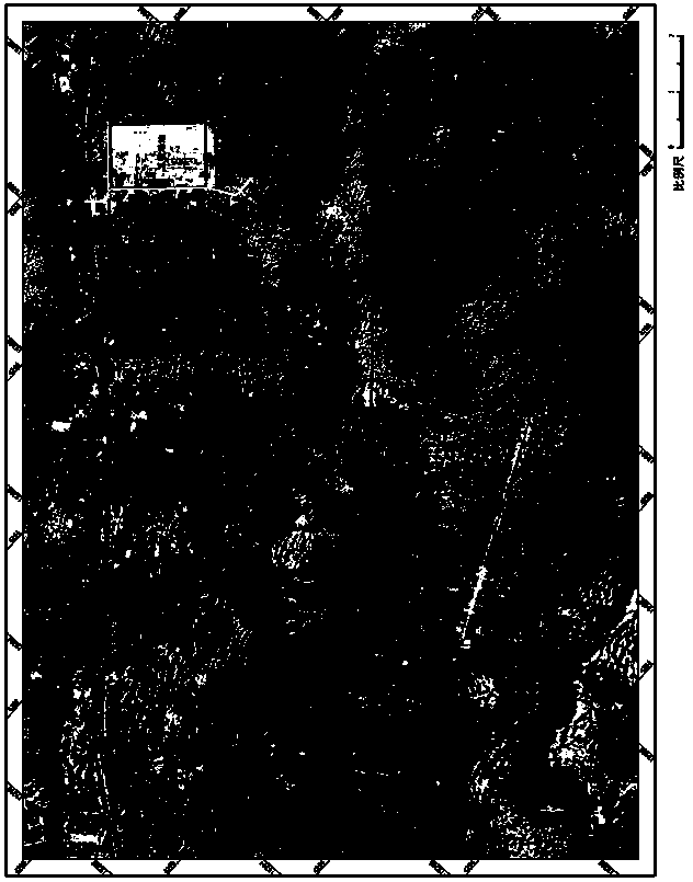
[0051] Step 1. Acquisition of satellite remote sensing images: the satellite remote sensing images of the area to be judged are transmitted to the data processing equipment and stored synchronously.

[0052] In this embodiment, the satellite remote sensing image of the area to be interpreted is a pre-selected satellite remote sensing image. Before selecting the satellite remote sensing image, it is necessary to first check the spatial resolution, spectral resolution and The time phase is determined; and, when selecting the satellite remote sensing image, the selection is performed according to the determined spatial resolution, spectral resolution and time phase.

[0053] Wherein, when determining the spatial resolution of the selected satellite remote sensing image, it is determined according to the mapping scale of the area to ...


PUM


Abstract

The invention discloses a desertification interpretation method based on the satellite remote sensing technology. The method comprises the steps of (1) satellite remote sensing image selection; (2) image processing which comprises band combination selection and image enhancement processing; (3) desertification interpretation, wherein a satellite remote sensing image is opened through a GIS system and synchronous display is conducted, and then the distribution positions, distribution ranges, desertification types and desertification degrees of all desertification areas in an area to be interpreted are judged according to the displayed image; (4) map compilation, wherein a digital topographic map of the area to be interpreted is opened by the GIX system, all the desertification areas are marked in the opened digital topographic map according to a desertification interpretation result, the desertification types and degrees are marked in the marked desertification areas, and then a desertification graph is obtained. The method is simple in process, reasonable in design, convenient to realize, good in using effect, and capable of achieving desertification interpretation conveniently and quickly.

Description

technical field [0001] The invention belongs to the application field of satellite remote sensing technology, and in particular relates to a method for judging and interpreting desertification based on satellite remote sensing technology. Background technique [0002] Satellite remote sensing technology has been widely and frequently used in many fields such as land and resources survey, environmental monitoring, geological disaster emergency command, agricultural and forestry production estimation, oceanography, and meteorology. Desertification refers to the decline of land productivity and the loss of land resources caused by the interaction of human irrational economic activities and fragile ecological environment. The land surface presents a desert-like landscape. The evolution process of land resources declines, accounting for 13.4% of my country's land area. The types of desertification include wind erosion desertification (also known as sandy desertification), water e...

Claims


Application Information

Patent Timeline
Patent Type & Authority Applications(China)
IPC IPC(8): G06K9/62G06K9/46G06T7/00
Inventor 高会军朱刚曾光张敦虎王晓鹏王辉
Owner XIAN MEIHANG APPL OF SATELLITE DATA
Why Eureka
Try Eureka