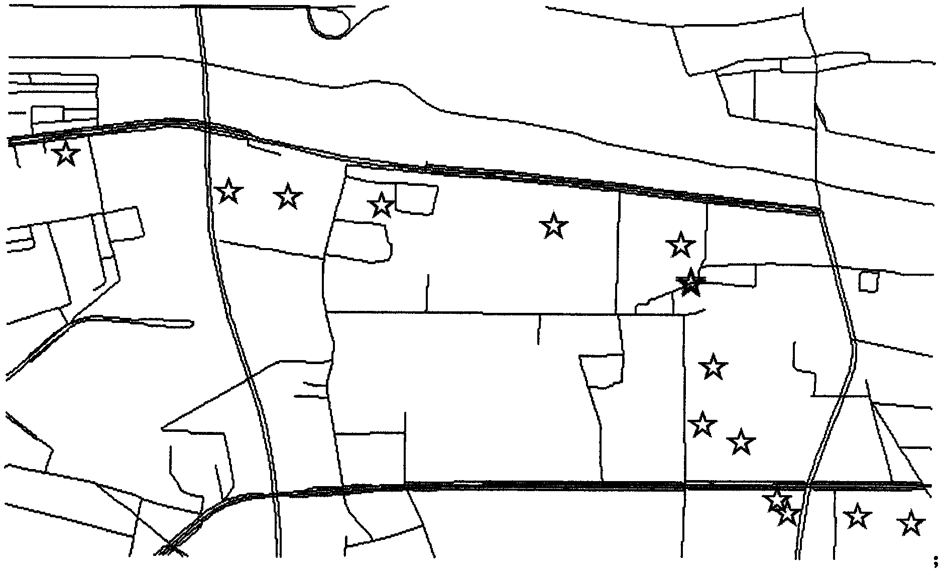
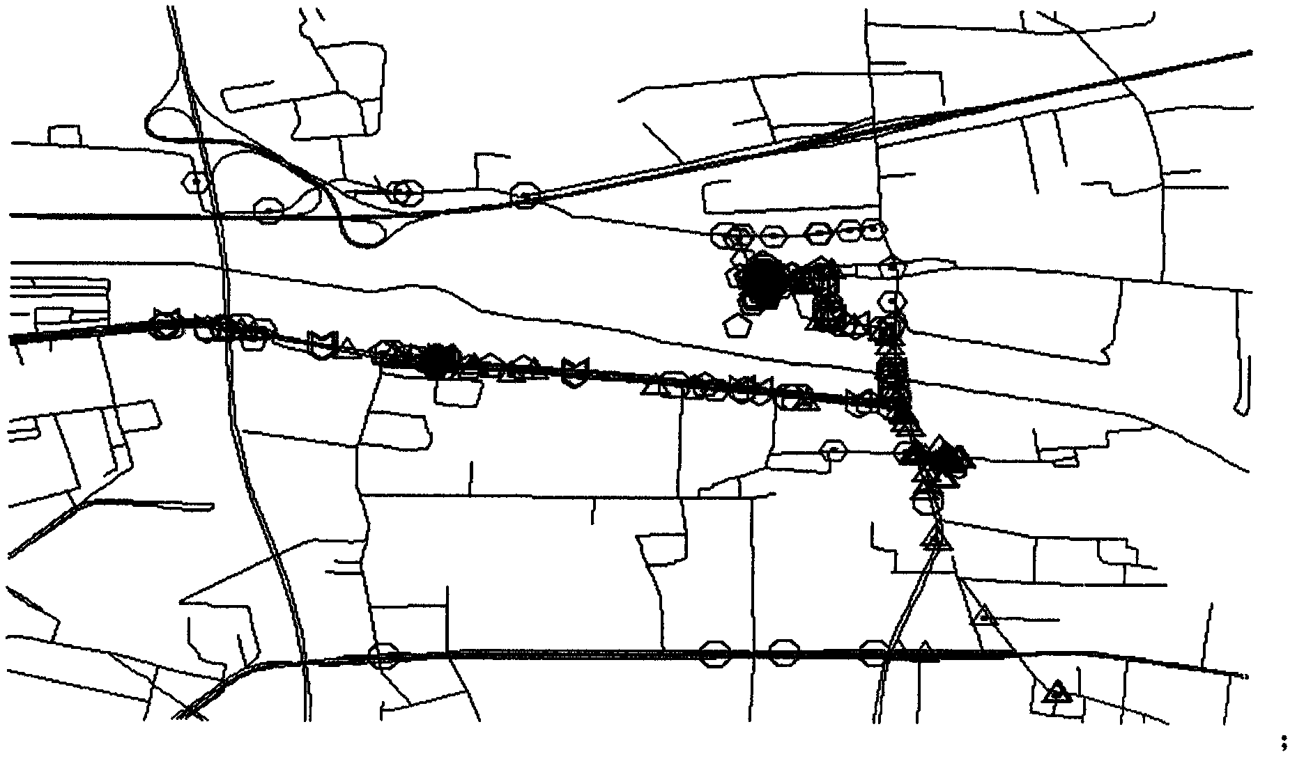
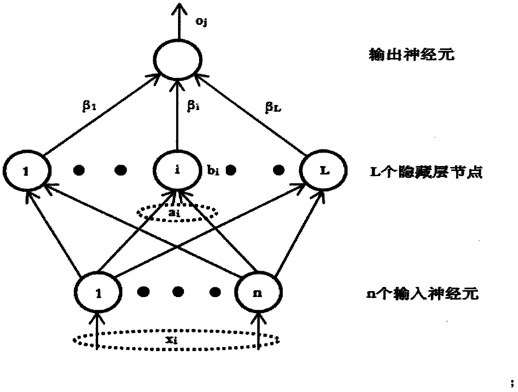
Map matching method by use of historical GPS data
A GPS data and map matching technology, applied in the field of map matching, can solve the problems of complex algorithm matching process, poor algorithm adaptability, not suitable for real-time processing, etc., to reduce calculation time and improve matching accuracy.
- Summary
- Abstract
- Description
- Claims
- Application Information
AI Technical Summary
Problems solved by technology
Method used
Image
Examples
Embodiment Construction
[0039] The technical solution of the present invention will be further described in detail below in conjunction with specific drawings and embodiments.
[0040] preparation
[0041] 1.1 Definition
[0042] Definition 1 (road segment): A road segment r is a path between two logical nodes. A road segment usually includes some other necessary attributes, such as r.id indicates the id of the road segment r, and r.oneway indicates whether the road segment r is a one-way road or a two-way road.
[0043] Definition 2 (GPS point): A GPS point is a measurement point obtained by a GPS chip, including taxi ID, time stamp, taxi status, longitude, latitude, taxi speed, and direction angle. The direction angle refers to the included angle between the taxi's traveling direction and the true north direction, where the angle floats in the range of 0 to 360 degrees, increases clockwise, and takes an integer.
[0044] Definition 3 (Taxi trajectory): A trajectory contains consecutive GPS point...
PUM
 Abstract
Description
Claims
Application Information
 - R&D
- Intellectual Property
- Life Sciences
- Materials
- Tech Scout
- Unparalleled Data Quality
- Higher Quality Content
- 60% Fewer Hallucinations
Browse by: Latest US Patents, China's latest patents, Technical Efficacy Thesaurus, Application Domain, Technology Topic, Popular Technical Reports.
© 2025 PatSnap. All rights reserved.Legal|Privacy policy|Modern Slavery Act Transparency Statement|Sitemap|About US| Contact US: help@patsnap.com


