A Joint Imaging Method for Structural and Polarization Properties of Subsurface Targets
An imaging method and attribute technology, applied in the field of geophysical exploration, can solve the problem of inability to combine imaging of underground targets, and achieve the effect of improving signal-to-noise ratio and clear imaging
- Summary
- Abstract
- Description
- Claims
- Application Information
AI Technical Summary
Problems solved by technology
Method used
Image
Examples
Embodiment Construction
[0040] In order to make the object, technical solution and advantages of the present invention more clear, the present invention will be further described in detail below in conjunction with the examples. It should be understood that the specific embodiments described here are only used to explain the present invention, not to limit the present invention.
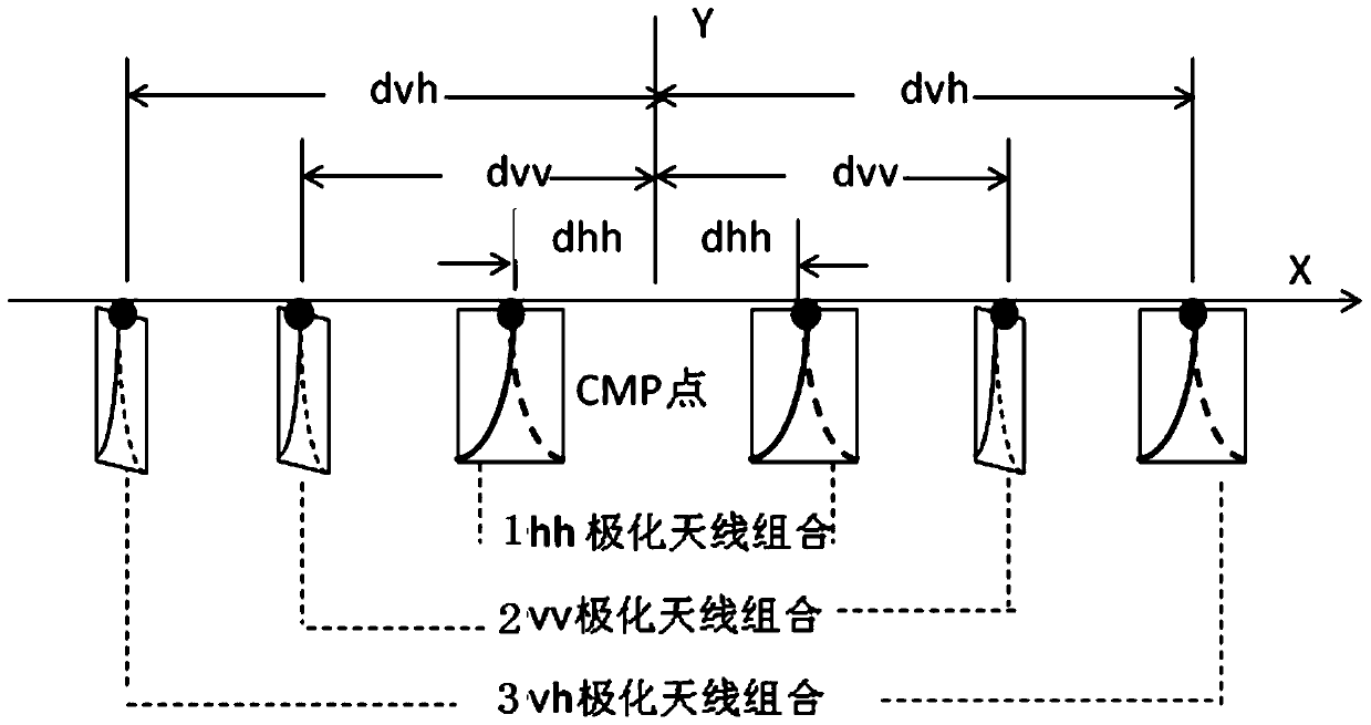
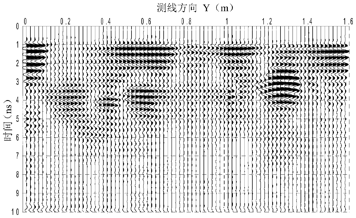
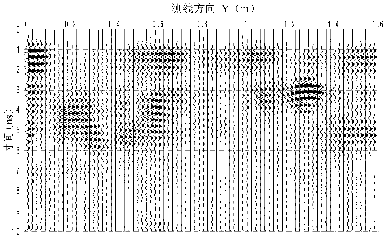
[0041] see figure 1 , the combination of fully polarized common center point antennas is used, and the vector network analyzer is connected to the fully polarized common center point antenna combination through cables. The three types of polarized antenna combinations are hh, vv and vh. Since the system is Monostatic polarimetric radar, according to the reciprocity theorem S hv = S vh , arrange a survey line above the target body, move the antenna combination along the survey line direction, arrange a survey point at the same distance on the survey line, and measure at each survey point to obtain a 2×2 target volume scat...
PUM
 Abstract
Description
Claims
Application Information
 - R&D
- Intellectual Property
- Life Sciences
- Materials
- Tech Scout
- Unparalleled Data Quality
- Higher Quality Content
- 60% Fewer Hallucinations
Browse by: Latest US Patents, China's latest patents, Technical Efficacy Thesaurus, Application Domain, Technology Topic, Popular Technical Reports.
© 2025 PatSnap. All rights reserved.Legal|Privacy policy|Modern Slavery Act Transparency Statement|Sitemap|About US| Contact US: help@patsnap.com


