Multi-sensor fusion farmland environment perception method used for unmanned agricultural machine
A multi-sensor fusion, farmland environment technology, applied in the field of automatic U-turn path planning and control, can solve the problem of unmanned agricultural machinery being unable to perceive the farmland environment.
- Summary
- Abstract
- Description
- Claims
- Application Information
AI Technical Summary
Problems solved by technology
Method used
Image
Examples
Embodiment Construction
[0088] The present invention will be further described below in conjunction with the accompanying drawings.
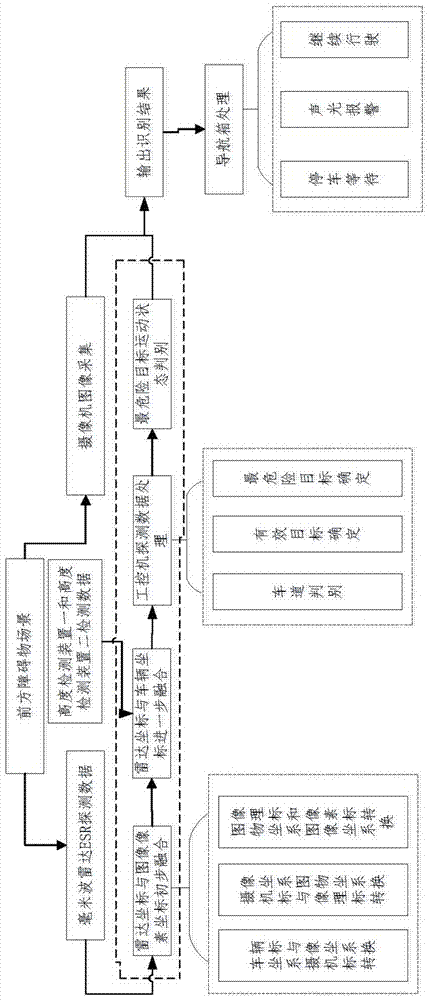
[0089] Such as Figure 1-8 A farmland environment perception method for multi-sensor fusion of unmanned agricultural machinery is shown, which specifically includes the following steps:
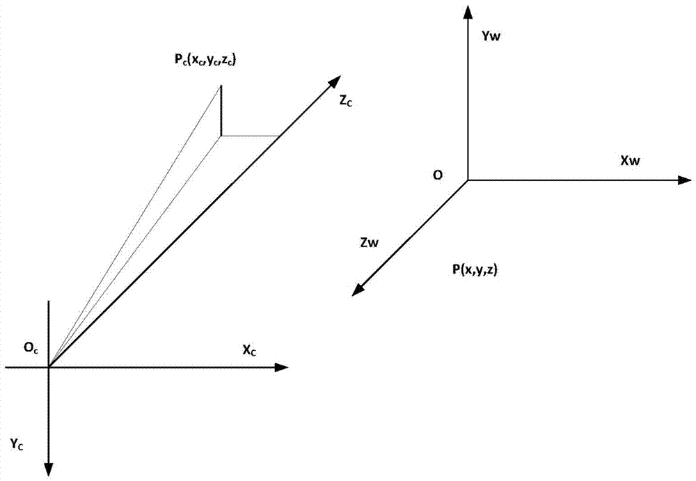
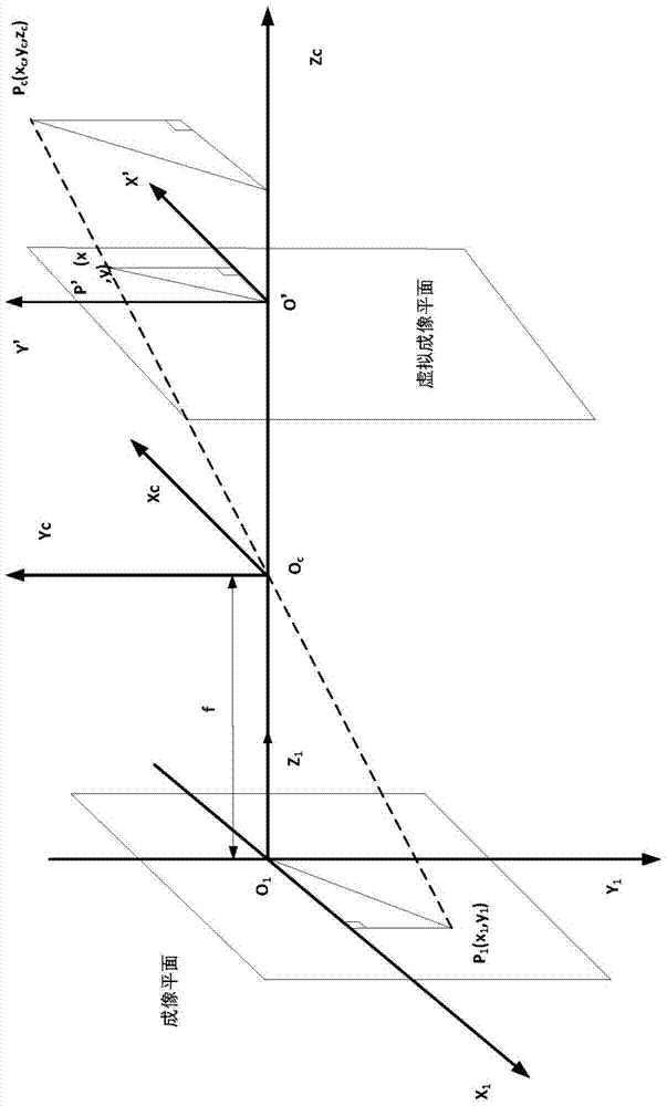
[0090] Step 1: Before the operation of agricultural machinery, the camera is calibrated, the camera space coordinates are transformed, and then the radar vision is calibrated jointly, so that the radar and visual information are fused in space;
[0091] Step 2: During the operation of agricultural machinery, adjust the conversion relationship between the radar and the camera coordinates in real time, so that the radar and the camera can be synchronized in space under the working conditions;
[0092] Step 3: The industrial computer calculates the received millimeter-wave radar data, determines the effective target, selects the area of interest to the radar in front of the agricultur...
PUM
 Abstract
Description
Claims
Application Information
 - R&D
- Intellectual Property
- Life Sciences
- Materials
- Tech Scout
- Unparalleled Data Quality
- Higher Quality Content
- 60% Fewer Hallucinations
Browse by: Latest US Patents, China's latest patents, Technical Efficacy Thesaurus, Application Domain, Technology Topic, Popular Technical Reports.
© 2025 PatSnap. All rights reserved.Legal|Privacy policy|Modern Slavery Act Transparency Statement|Sitemap|About US| Contact US: help@patsnap.com


