Surface soil and turf coordinating protection method based on combination of remote sensing partitioning and field investigation
A field investigation and combination technology, applied in the fields of botanical equipment and methods, soil material testing, lawn growth, etc., can solve problems such as turf failure, topsoil bedding, and seed bank density reduction, so as to improve work efficiency and utilization efficiency. , the effect of improving availability
- Summary
- Abstract
- Description
- Claims
- Application Information
AI Technical Summary
Problems solved by technology
Method used
Image
Examples
Embodiment 1
[0069] A highway is located in the alpine region of the Qinghai-Tibet Plateau, and the vegetation types along the way are mainly alpine grassland, alpine meadow, desert grassland, etc. During the construction of the highway, in order to realize the scientific planning, efficient protection and utilization of vegetation along the whole line, the inventor proposed method.
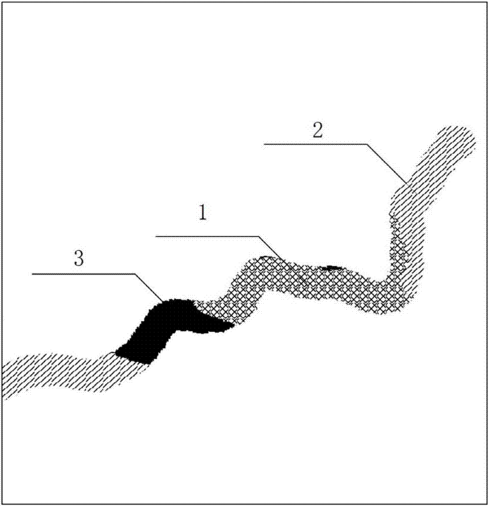
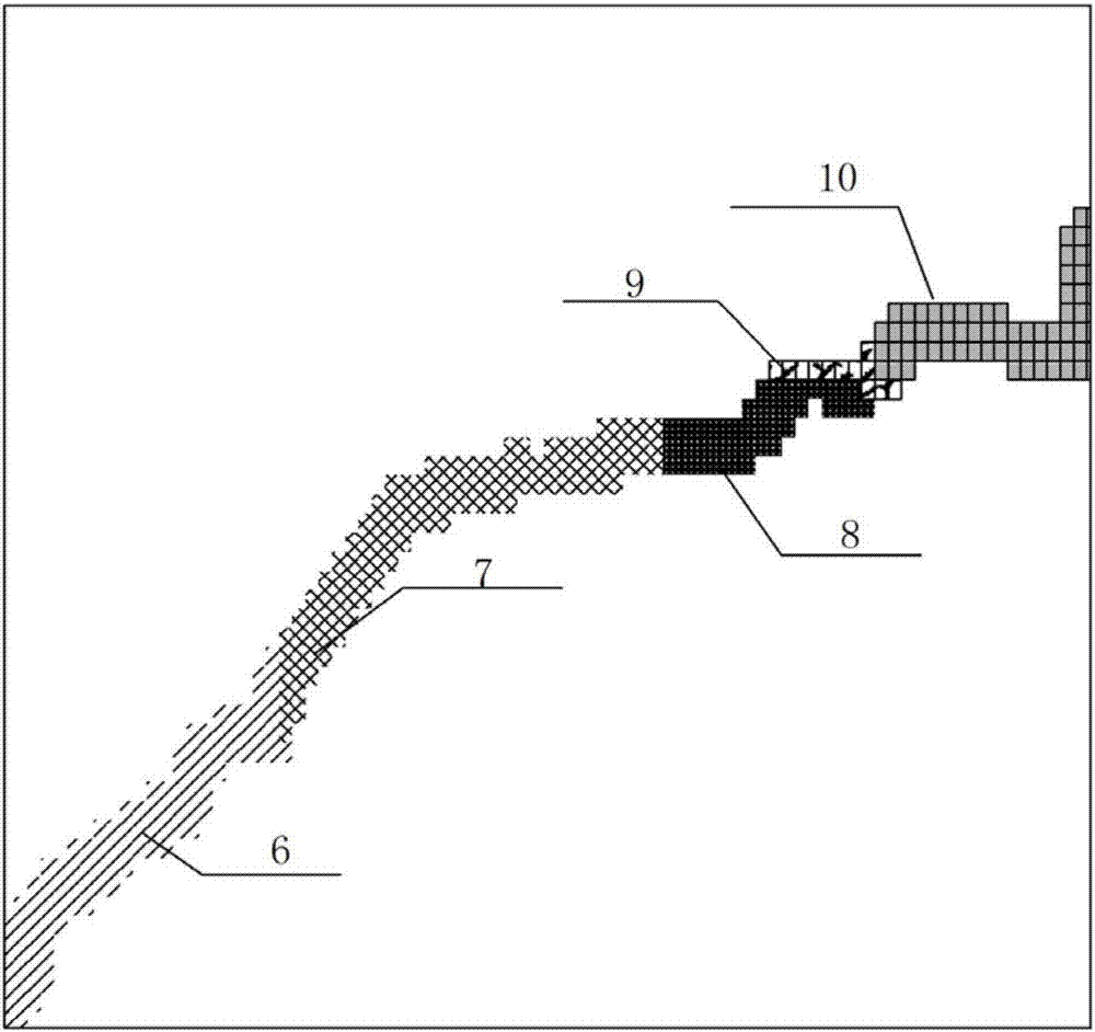
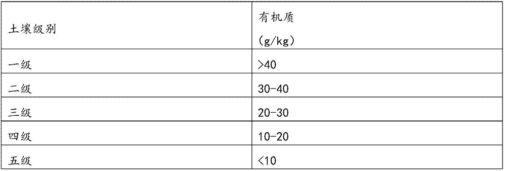
[0070] First, take the centerline of the highway as the object, generate 5km buffer zones on both sides, and take this planar area as the evaluation area. The main idea is to divide turf protection and topsoil protection areas, and to divide environmental factor levels based on accumulated temperature and dryness. Then set up survey points for each turf protection level area to conduct on-site survey and soil sampling, analyze soil fertility and texture, and propose a coordinated protection and utilization method for topsoil and turf according to the classification of environmental factors.
[0071] Specific...
Embodiment 2
[0125] Aiming at the soil quality of different sections in Example 1, the clay area QZ5 and the granular soil area QZ6 were mixed and mixed with each other to improve the soil texture performance, specifically:
[0126] In the QZ5 area where the sandy soil is distributed, aiming at its shortcomings of weak water storage capacity, low nutrient content, poor fertilizer retention capacity, and rapid soil temperature change, the clay soil in the QZ6 area is used for improvement to make full use of the clay with good water retention and fertilizer retention. The advantages of rich nutrient content and relatively stable soil temperature;
[0127] In the QZ6 area where the clay is distributed, the sandy soil in the QZ5 area is deployed to improve the soil texture. In this way, the purpose of improving the soil texture of the slope backfill is realized.
Embodiment 3
[0129] For the grassland topsoil in different sections in Example 1, the technology of layered stripping and back-laying was implemented. For the utilization of the seed bank, the topsoil of the upper layer 5cm was stripped first, and then the bottom layer of the topsoil was stripped. And stack them separately; when the topsoil is reclaimed on the slope, the lower topsoil is first reclaimed, and then the upper topsoil is reclaimed. At the same time, the upper topsoil is combined with the sowing of local grass seeds, which not only realizes the successful construction of slope vegetation, And increase the diversity of artificial vegetation communities.
[0130] After the implementation of the embodiment, because the turf peeled off in the QZ12 area was used in the first to third-level areas of the environmental factor grade area, the adaptability of the turf was better, and the survival rate of the turf was good, reaching more than 80%; in terms of topsoil protection, targeted ...
PUM
 Abstract
Description
Claims
Application Information
 - R&D
- Intellectual Property
- Life Sciences
- Materials
- Tech Scout
- Unparalleled Data Quality
- Higher Quality Content
- 60% Fewer Hallucinations
Browse by: Latest US Patents, China's latest patents, Technical Efficacy Thesaurus, Application Domain, Technology Topic, Popular Technical Reports.
© 2025 PatSnap. All rights reserved.Legal|Privacy policy|Modern Slavery Act Transparency Statement|Sitemap|About US| Contact US: help@patsnap.com


