

Space-time refined soil organic matter content remote sensing dynamic inversion method
A technology with organic matter content and refinement, applied in the field of remote sensing, can solve the problems of fewer bands, single band information, and the inability to weaken the interference of environmental background spectrum, and achieve the effect of improving spatio-temporal fineness and spectral resolution
- Summary
- Abstract
- Description
- Claims
- Application Information
AI Technical Summary
Problems solved by technology
Method used
Image

Examples
Embodiment 1
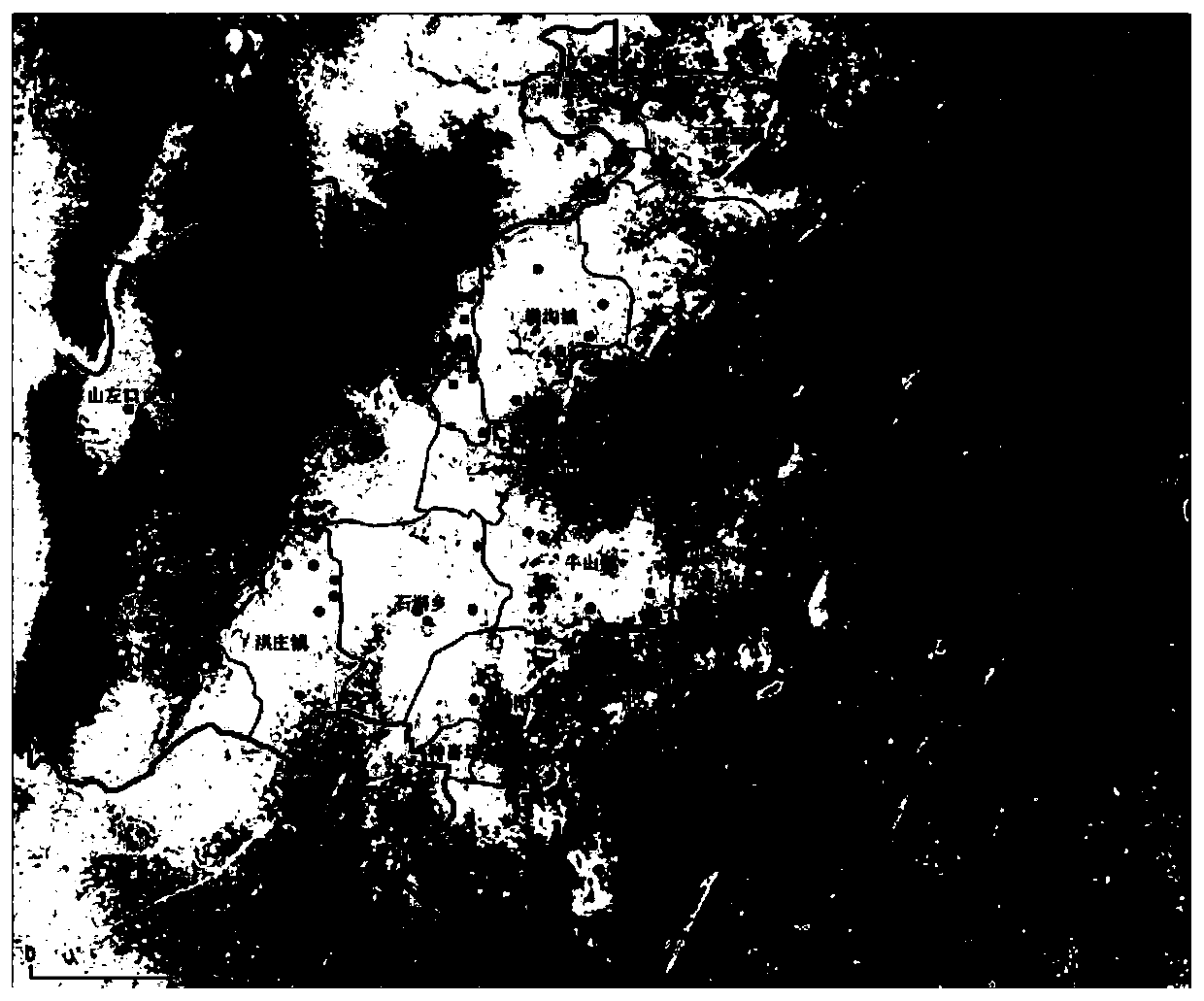
[0059] This embodiment takes figure 1 The shown method for inversion of soil TOC content in a research area of Donghai County is taken as an example to specifically illustrate the specific implementation of the remote sensing monitoring method of the present invention.
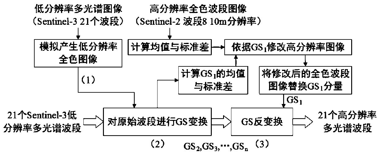
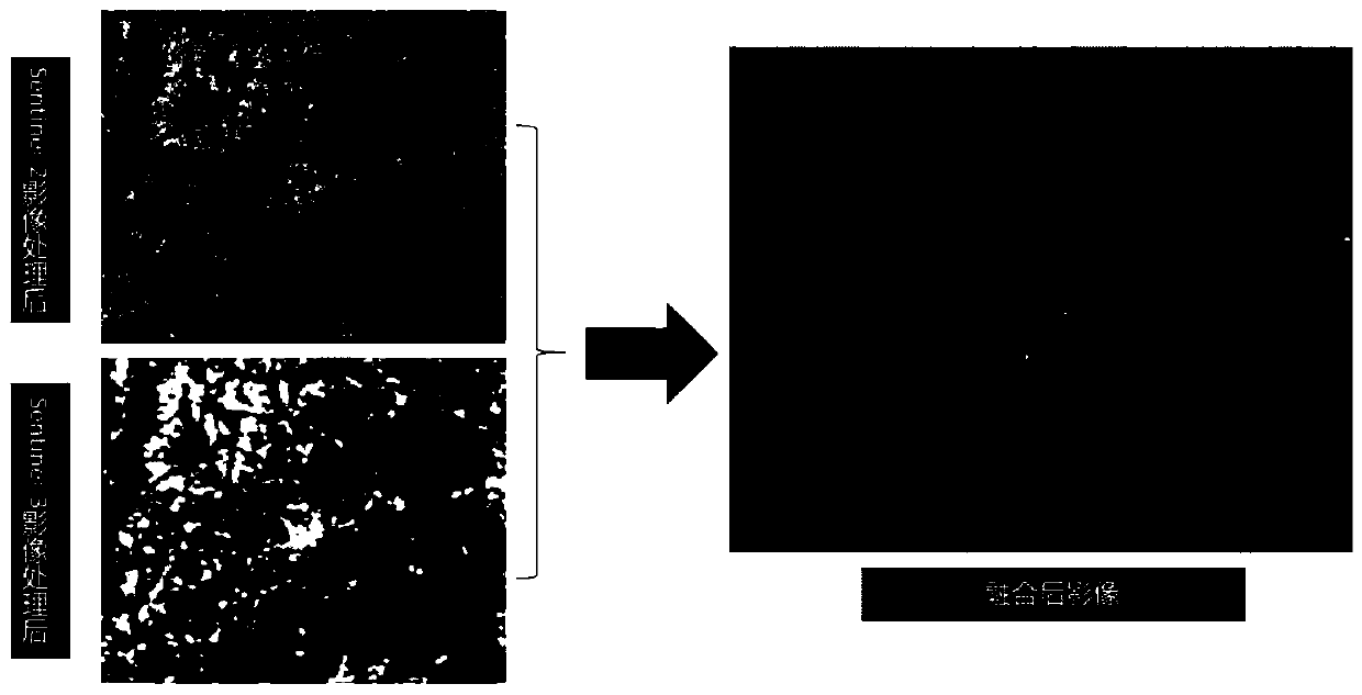
[0060] In this example, the quantitative inversion of soil organic matter content is carried out based on the fusion of remote sensing image data, and the implementation method is as follows: Based on the high spatial resolution information of Sentinel-2 and the rich spectral information of Sentinel-3 at the same time based on Gram-Schmidt (GS) fusion Above, combined with the two phases of measured soil TOC content data in Donghai County, 92 points were modeled, and the six vegetation indices (NDVI, RVI, DVI, OSAVI, RDVI, EVI), select the RVI with the highest correlation with TOC and the 20th band with better correlation with TOC to establish a model by using multiple stepwise linear regression analysis meth...
PUM
 Abstract
Description
Claims
Application Information