Method capable of calculating standing tree volume by using laser radar point cloud data based on improved Hough change
A point cloud data and lidar technology, applied in the field of forest resources survey, can solve the problems of vague concept, large calculation error, and high labor intensity, and achieve the effects of high calculation accuracy, improved algorithm performance, and strong data reliability.
- Summary
- Abstract
- Description
- Claims
- Application Information
AI Technical Summary
Problems solved by technology
Method used
Image
Examples
Embodiment Construction
[0023] The method of calculating the standing volume based on the improved Hough change of lidar point cloud data is quite different from the traditional method. The specific implementation steps are as follows:
[0024] 1. This study uses FARO 120 ground lidar to scan complete tree point cloud data.
[0025] 2. After registration, denoising and filtering, thinning and other processes, manually select single-wood point cloud data, eliminate redundant data and export the data that needs post-processing stored in .xyz and .dxf formats.
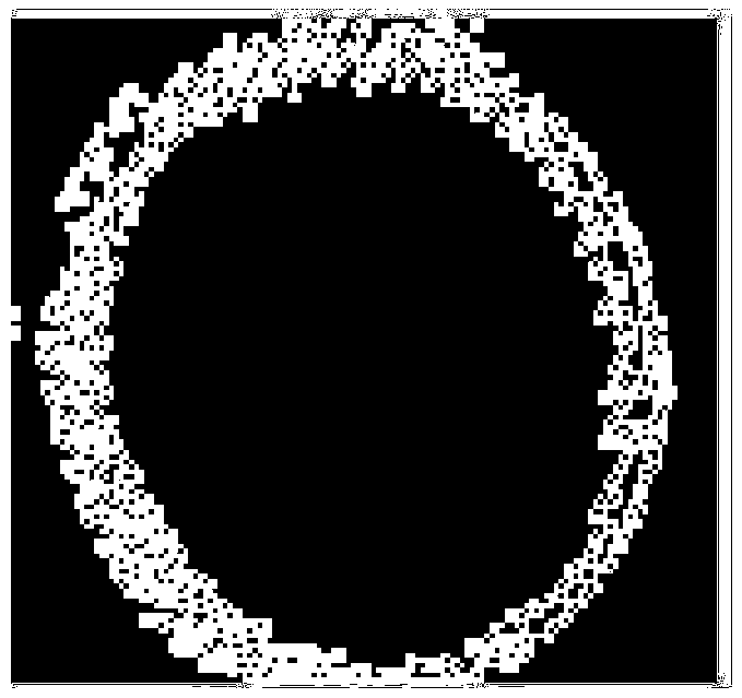
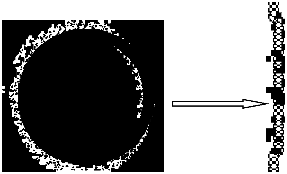
[0026] 3. Import the data into c#, write related programs, and get the trunk diameter.
[0027] 4. Calculate the standing timber volume through the formula.
PUM
 Abstract
Description
Claims
Application Information
 - R&D
- Intellectual Property
- Life Sciences
- Materials
- Tech Scout
- Unparalleled Data Quality
- Higher Quality Content
- 60% Fewer Hallucinations
Browse by: Latest US Patents, China's latest patents, Technical Efficacy Thesaurus, Application Domain, Technology Topic, Popular Technical Reports.
© 2025 PatSnap. All rights reserved.Legal|Privacy policy|Modern Slavery Act Transparency Statement|Sitemap|About US| Contact US: help@patsnap.com


