

BDS/GPS reference station low altitude angle satellite integer ambiguity determination method
A technology of integer ambiguity and determination method, which is applied in the field of satellite positioning system and positioning measurement, and can solve the problem that the carrier phase integer ambiguity cannot be effectively determined.
- Summary
- Abstract
- Description
- Claims
- Application Information
AI Technical Summary
Problems solved by technology
Method used
Image

Examples
Embodiment Construction
[0146] The present invention will be further described below in conjunction with the accompanying drawings and specific embodiments.
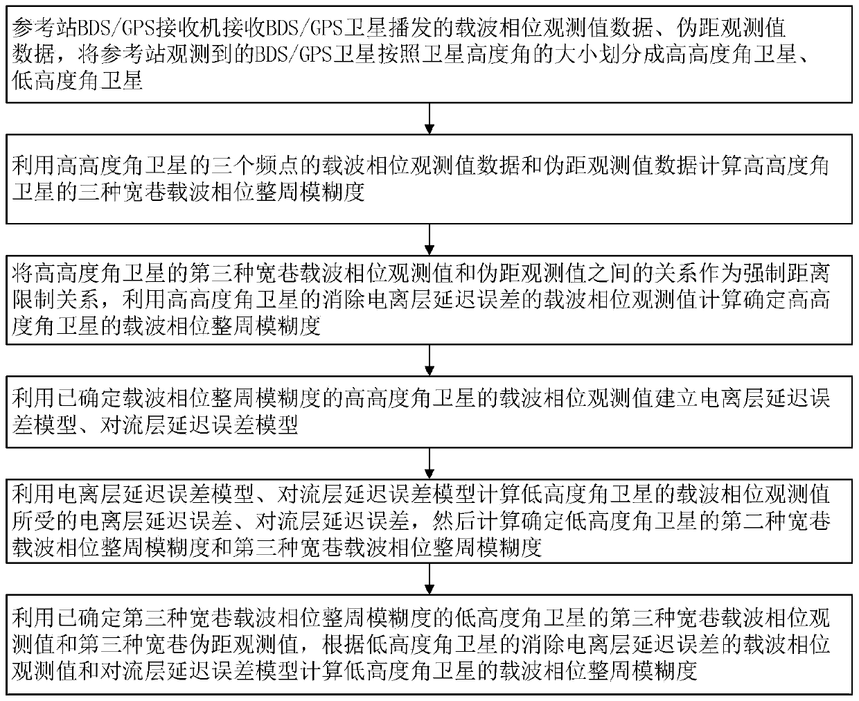
[0147] Such as figure 1 Shown, BDS / GPS reference station low-altitude angle satellite whole circle ambiguity determination method of the present invention comprises the following steps:
[0148] Step 1: The BDS / GPS receiver at the reference station receives the carrier phase observation data and pseudorange observation data broadcast by the BDS / GPS satellite, and divides the BDS / GPS satellites observed by the reference station into high altitude angles according to the size of the satellite altitude angles Satellite, low-altitude satellite:
[0149] Step 1.1: The reference station BDS / GPS receiver receives the carrier phase observation data and pseudorange observation data broadcast by BDS / GPS satellites:
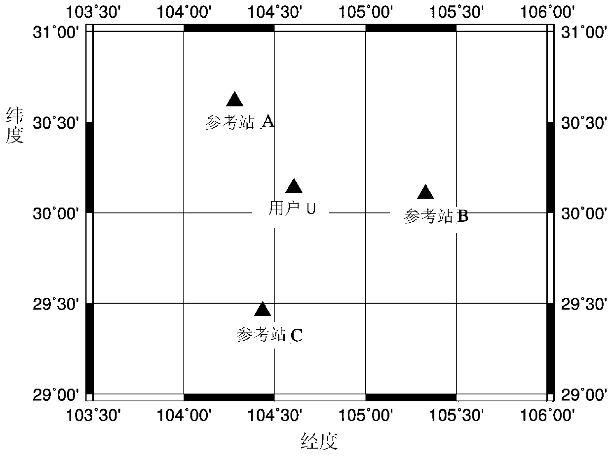
[0150] In this embodiment, the distribution of reference stations is as follows figure 2 As shown, reference stations A, B, and C are a...
PUM
 Abstract
Description
Claims
Application Information