
Quantitative prediction method for ancient lake shoreline, equipment and system

A prediction method and lake shoreline technology, applied in the field of geological exploration, can solve problems such as difficulty in obtaining data points, depiction, and less data, and achieve the effect of solving difficult data point data acquisition and solving recurrence problems

Pending Publication Date: 2021-02-23
PETROCHINA CO LTD
View PDF4 Cites 0 Cited by
  • Summary
  • Abstract
  • Description
  • Claims
  • Application Information

AI Technical Summary

Problems solved by technology

[0009] The above methods all have difficulties in obtaining data points and less data. It is difficult to describe relatively accurately in the vertical and horizontal planes. Most of them can only outline the general shape with a few points, which is far from the actual application requirements.

Method used


Image

  • Quantitative prediction method for ancient lake shoreline, equipment and system
  • Quantitative prediction method for ancient lake shoreline, equipment and system
  • Quantitative prediction method for ancient lake shoreline, equipment and system

Examples


Embodiment approach 2

[0152] Figure 12 For the schematic flow chart of the second implementation mode of a quantitative prediction method for ancient lake shoreline provided by the embodiment of the present invention, please refer to Figure 12 , the method also includes in Embodiment 2 of the present invention:

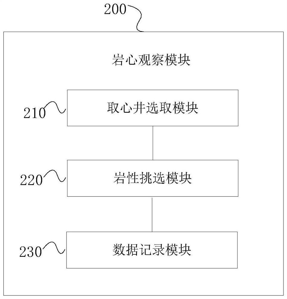
[0153] S106: Obtain multiple drilling wells near the location information for core observation, and obtain drilling observation results;

[0154] S107: Check the observation results of the drilling, and determine the degree of agreement with the development position of the ancient lake shoreline;

[0155] S108: When the matching degree reaches a preset threshold, determine the location information as the location information of the ancient lake shoreline.

[0156] That is to say, in one embodiment of the present invention, a well near the location information of the ancient lake shoreline is selected for core observation, and it is determined whether it is the development location of t...


PUM


Abstract

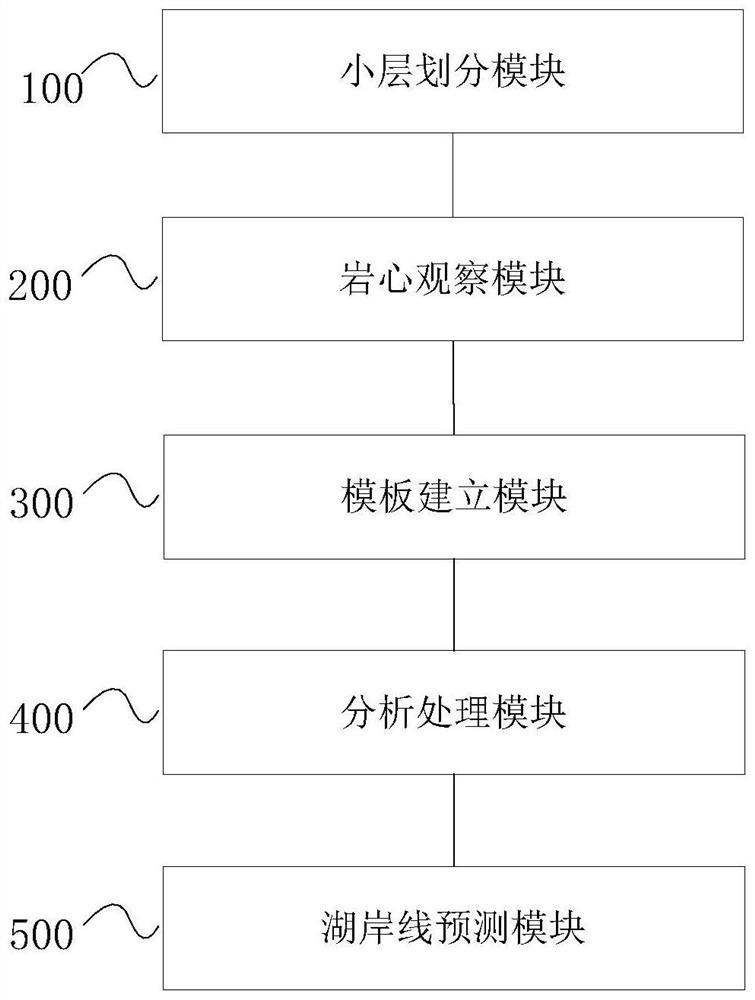
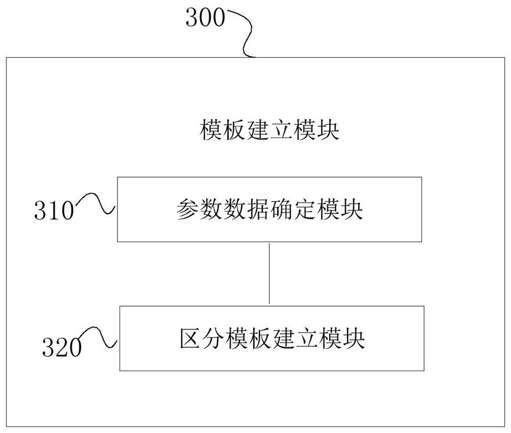
The invention provides a quantitative prediction method and system for an ancient lake shoreline, computer equipment and a computer readable storage medium, and relates to the technical field of geological exploration. The method comprises the following steps: performing isochronous small-layer fine division on drilled wells in a research area; carrying out core observation on the drilled well after isochronous small-layer fine division, and acquiring a core observation result; establishing a lithology distinguishing template according to the core observation result; analyzing and processing the drilling data according to the lithology distinguishing template; and predicting the position information of the ancient lake shoreline according to an analysis processing result and the lithologydistinguishing template. According to the invention, the lake shoreline position is quantitatively depicted according to the special lithology identification of peat carbonaceous mudstone strata and coal seams so that a problem that data point data is difficult to obtain is solved, and the problem of reproduction of a small-layer-level lake shoreline transition evolution process is solved too.

Description

technical field [0001] The present invention relates to the technical field of geological exploration, in particular to the exploration technology of ancient lake shorelines, and specifically to a quantitative prediction method, system, computer equipment and computer-readable storage medium of ancient lake shorelines. Background technique [0002] At present, the location determination of the ancient lake shoreline mainly includes the following methods: [0003] 1) Paleo-geomorphic features Paleo-gullies and canyons on the edge of the lake can be used as indicators to identify the paleo-lake shoreline; [0004] 2) Shell (shell) beach is an important coastal landmark; [0005] 3) Current cross-bedding, ripple marks, small-scale wavy bedding in siltstone, oxidation bands in mudstone, plant root traces, mud cracks, rain marks and other exposed structures (Komatsu et al., 2001; Jiang Zaixing, 2003 ), carbonate rock dissolution zone, etc.; [0006] 4) Peat layers, coal seams,...

Claims


Application Information

Patent Timeline
Patent Type & Authority Applications(China)
IPC IPC(8): G01V1/28G01V1/30G01V1/50G06F17/18
CPCG01V1/50G01V1/306G01V1/282G06F17/18
Inventor 廖建波刘化清彭晓勇张忠义王建国邓静郑希民邸俊
Owner PETROCHINA CO LTD
Learn More