Satellite cluster collaborative planning method based on multiple satellites and multiple loads

A satellite cluster, multi-load technology, applied in the field of aerospace science, can solve the problems of high overlap of shooting strips and low space resource acquisition rate, and achieve the effect of simplifying the calculation process, improving the calculation efficiency and wide application range.

Pending Publication Date: 2021-10-29
CHINA CENT FOR RESOURCES SATELLITE DATA & APPL
View PDF0 Cites 1 Cited by
  • Summary
  • Abstract
  • Description
  • Claims
  • Application Information

AI Technical Summary

Problems solved by technology

[0003] The existing intelligent collaborative planning method can complete the entire coverage task of the target area. According to the principle of "transit and shoot", the satellite transit time is greatly used, but it cannot be reason

Method used


Image

  • Satellite cluster collaborative planning method based on multiple satellites and multiple loads
  • Satellite cluster collaborative planning method based on multiple satellites and multiple loads
  • Satellite cluster collaborative planning method based on multiple satellites and multiple loads

Examples


Embodiment 1

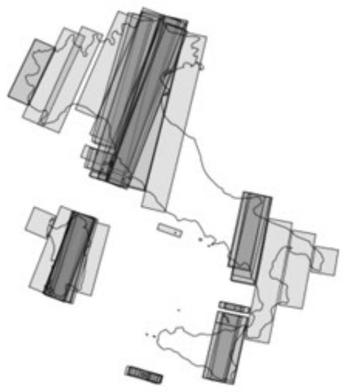
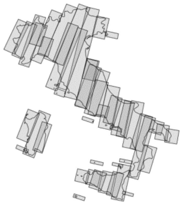
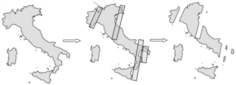
[0101] Step (1): Divide the target area into optical high-resolution demand areas (such as urban areas, etc.), optical medium-low resolution demand areas (such as uninhabited mountains, bare land, etc.), synthetic aperture radar satellite demand areas (such as cloudy Islands, oceans, ports, etc.), other demand areas, etc. Decompose the regional AOI file according to the satellite image requirements of the target area.

[0102] Step (2): According to the theory of satellite orbit parameters, dynamically obtain satellite parameters such as the latest semi-orbital major axis, orbital inclination, and right ascension of ascending node of the satellite cluster, and set the orbit information of the satellite cluster. Set the sensor status, sensor mode and sensor parameters of each satellite. After the construction of the scene is completed, the spatial correspondence between the target area and the satellite is displayed in real time in the scene. According to the satellite transi...


PUM


Abstract

The invention provides a satellite cluster collaborative planning method based on multiple satellites and multiple loads. The method comprises the steps: analyzing the capability matching relation between various resources and tasks and the space-time logic constraint relation of a dynamic task constraint network according to the task demands of different imaging modes of a sensor, building an efficient collaborative task distribution and coordination mechanism to meet requirements in three aspects of timeliness, economy and flexibility, and constructing a hierarchical distributed joint task planning technology for various satellite resources to achieve comprehensive management and control and joint task planning of the resources. According to the invention, according to characteristics and requirements of users for tasks in different time periods, a reasonable rule and a look-ahead mechanism are utilized, related scheduling strategies, models and methods are formulated, rapid response to dynamic environments and requirements is achieved, and collaborative task planning of the microsatellite cluster is completed.

Description

technical field [0001] The invention relates to a satellite cluster collaborative planning method based on multi-satellite and multi-load, and belongs to the field of aerospace science and technology. Background technique [0002] Nowadays, all countries in the world are actively launching and deploying earth observation satellites. Although the number of satellites has increased significantly, they still cannot meet the growing demand for global remote sensing data. Therefore, obtaining effective satellite strips to the greatest extent has become an inevitable trend of technological development. . At present, most satellite remote sensing observation needs in my country require satellite operation and management units to use sufficient manpower to manually coordinate the angle of satellite observation, or to a certain extent use a simple scheduling algorithm. With the increase in the number of satellites, the manual coordination method needs to be intelligently coordinated....

Claims


Application Information

Patent Timeline
IPC IPC(8): G05D1/10
CPCG05D1/104
Inventor 杨振坤万伟杜兴强赵新伟郝雪涛
Owner CHINA CENT FOR RESOURCES SATELLITE DATA & APPL
Why Eureka
Try Eureka