Method of Amending Navigation Data of a Global Navigation System
a global navigation system and navigation data technology, applied in satellite radio beaconing, measurement devices, instruments, etc., can solve problems such as additional errors and inability to be properly modeled by users
- Summary
- Abstract
- Description
- Claims
- Application Information
AI Technical Summary
Benefits of technology
Problems solved by technology
Method used
Image
Examples
Embodiment Construction
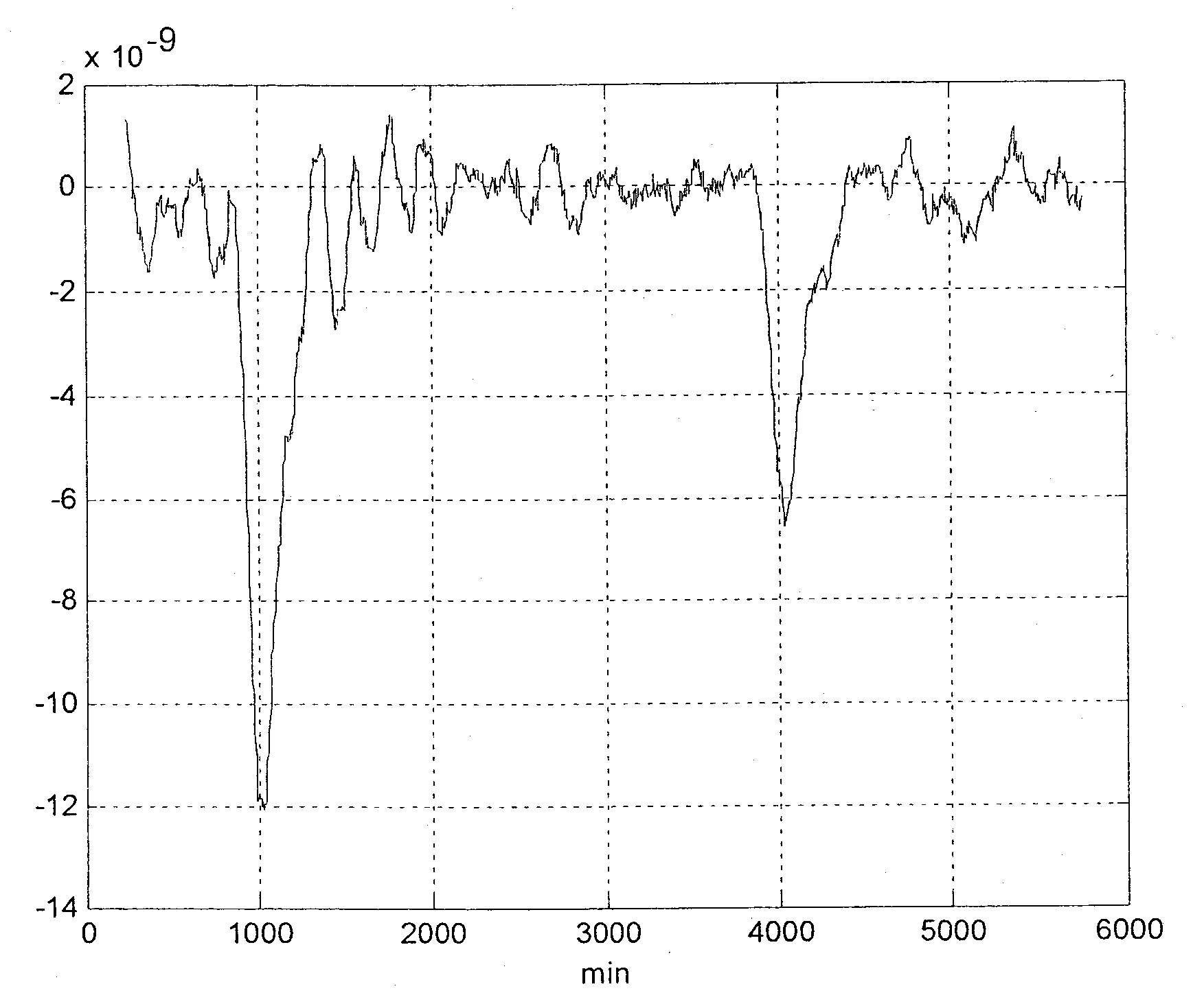
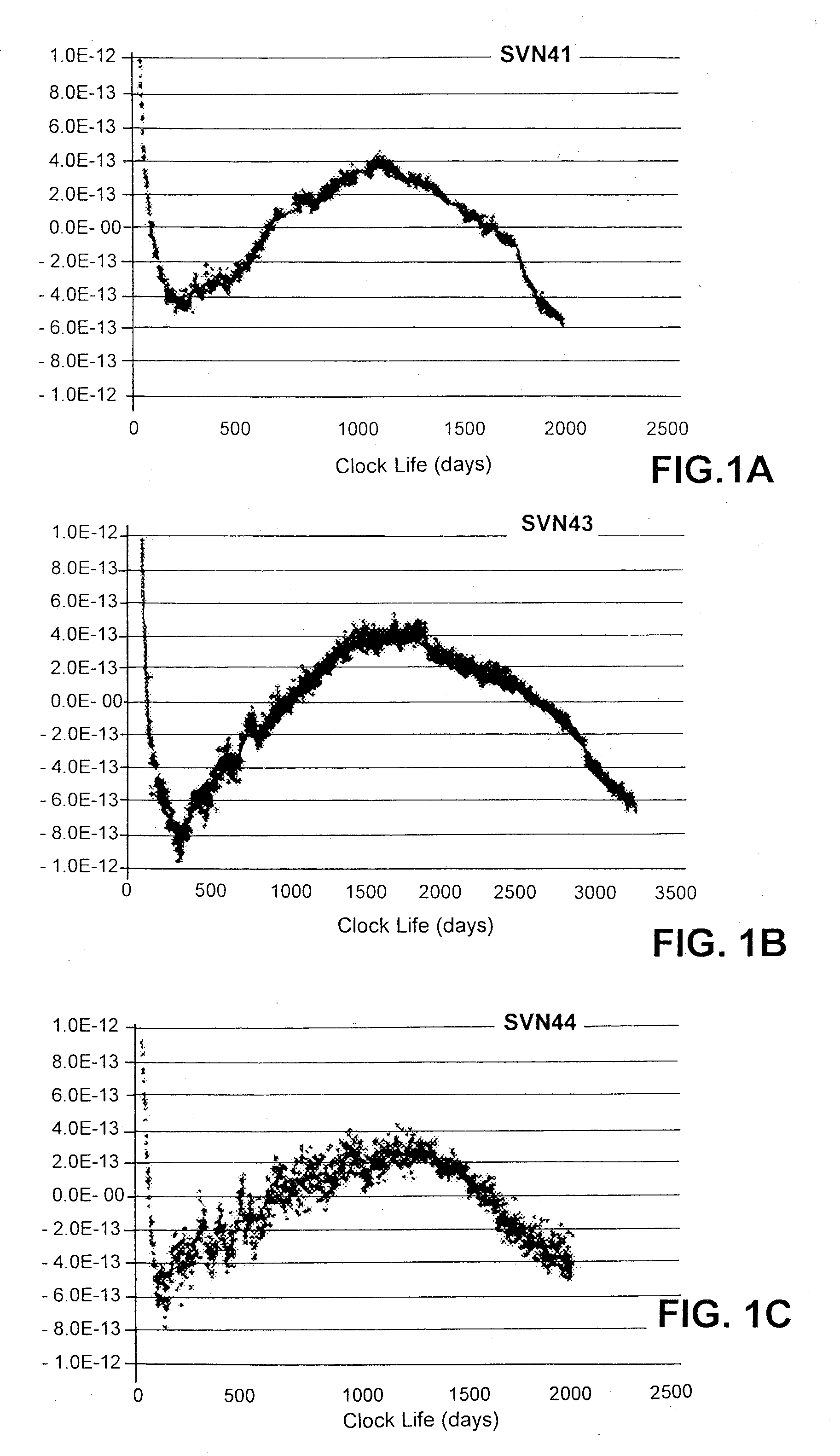
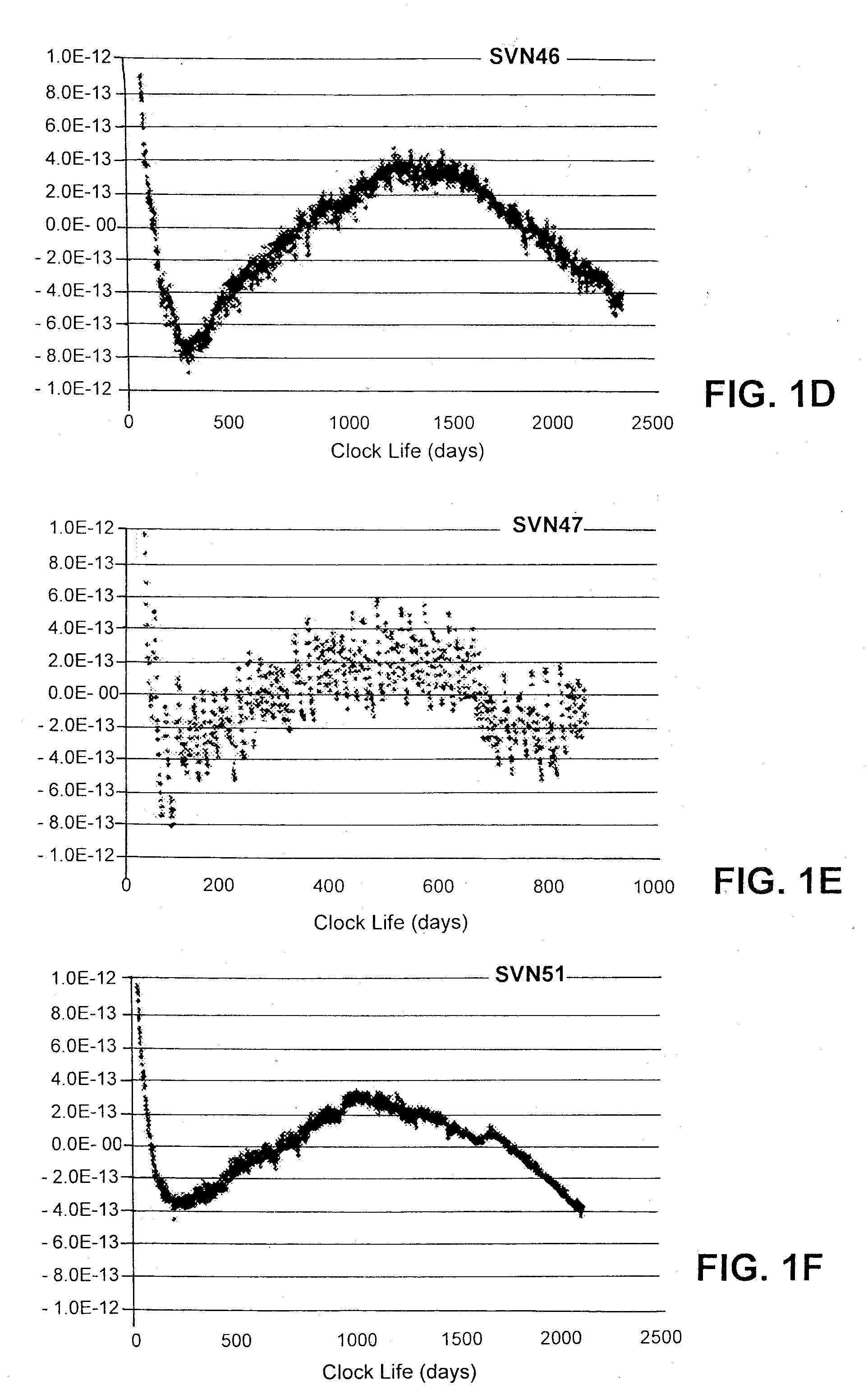
[0036]Using Rubidium clock technology in space missions for typical satellite navigation services (such as GPS or future Galileo satellite navigation systems) requires, for certain systems, adaptations to cope with the typical Rubidium-clock frequency jump behavior, as observed from GPS as well as early Galileo test satellite measurement campaigns.
[0037]Such system concept adaptations are necessary, since the clock frequency jumps cannot be predicted, and therefore impose additional ranging errors at service user level on the order of one to even above ten meters with significant impact on the provided service performance.
[0038]Especially from an integrity service point of view such behavior is considered most critical, since the system must ensure a certain ranging quality a priori with very high confidence, and provides the related integrity information to the user accordingly. If such integrity information, called the signal-in-space accuracy (SISA), which is an overbound of the ...
PUM
 Abstract
Description
Claims
Application Information
 - R&D
- Intellectual Property
- Life Sciences
- Materials
- Tech Scout
- Unparalleled Data Quality
- Higher Quality Content
- 60% Fewer Hallucinations
Browse by: Latest US Patents, China's latest patents, Technical Efficacy Thesaurus, Application Domain, Technology Topic, Popular Technical Reports.
© 2025 PatSnap. All rights reserved.Legal|Privacy policy|Modern Slavery Act Transparency Statement|Sitemap|About US| Contact US: help@patsnap.com


