
System and method for aircraft navigation based on diverse ranging algorithm using ads-b messages and ground transceiver responses

a technology of aircraft navigation and response, applied in the direction of communication jamming, aircraft traffic control, instruments, etc., can solve the problems of gps receivers that stop working correctly, signals transmitted by gps satellites are very low in power, and reliance on gps for providing both navigation and surveillance services to the airspace is being recognized as a significant risk

Active Publication Date: 2015-11-19
SAAB INC
View PDF0 Cites 68 Cited by
  • Summary
  • Abstract
  • Description
  • Claims
  • Application Information

AI Technical Summary

Benefits of technology

The present invention provides a method for aircraft navigation and dependent surveillance using broadcast messages. The method involves transmitting and recording the time of a first broadcast message from a first aircraft, receiving the message at multiple ground transceivers and recording the time of the message. The method also involves transmitting a reply message from each ground transceiver to the first aircraft, receiving the reply message at the first aircraft and recording the position of the ground transceivers. The method allows for the determination of the position of the first aircraft and the first position of the second aircraft based on the transmission and reception data. The technical effect of the invention is to provide a more accurate and reliable method for aircraft navigation and dependent surveillance.

Problems solved by technology

However, reliance on GPS for providing both the navigation and surveillance services to the airspace is being recognized as having a significant risk due to the vulnerable nature of GPS signals.
Specifically, the signals transmitted by GPS satellites are very low in power, so GPS receivers can be easily interfered or jammed by intentional or non-intentional radio frequency interference (RFI) sources, which causes the GPS receivers to stop functioning correctly.
For example, an RFI source capable of interfering with / jamming GPS signals is available and can be purchased via internet merchandising at low cost, making it a real threat to the integrity of future aircraft navigation and surveillance systems.
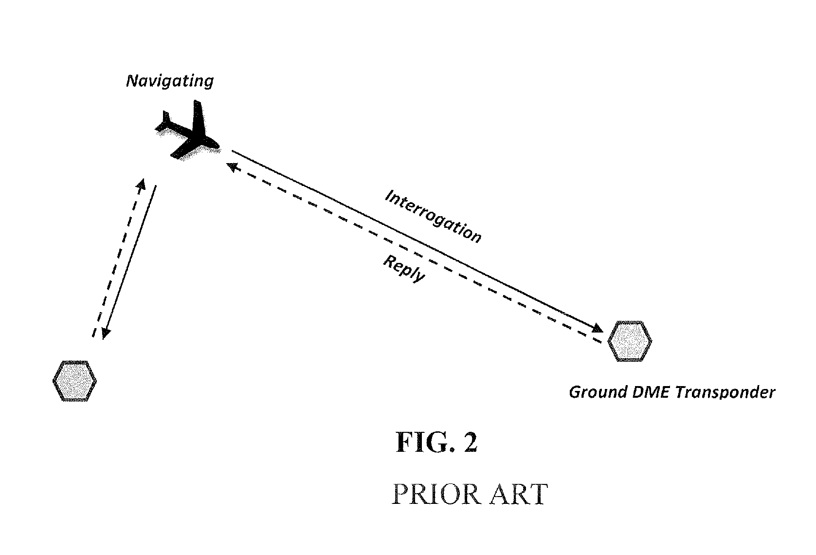
This method is a suitable alternative navigation system for aircraft equipped with an DME multi-channel scanner system but is not an economically feasible solution for non-commercial general aviation aircraft users.
Additionally, because of the limited ranging accuracy provided by the DME system and limited coverage of existing ground DME transponder network.
While RNAV-2 NM is sufficient for en-route operations, it is not sufficient for terminal operations where RNAV-1 NM or better is usually required.
Since WAAS is part of the Global Navigation Satellite System (GNSS) and is also vulnerable to jamming and spoofing like GPS, and DME / DME does not meet the stringent accuracy and integrity requirements, a backup position source able to meet ADS-B requirements is still needed.
In addition, signal spoofing or fake signal broadcasting on the GPS frequencies as well as ADS-B frequencies can seriously impact the safety and efficiency of aircraft operations in the national airspace system (NAS).

Method used


Image

  • System and method for aircraft navigation based on diverse ranging algorithm using ads-b messages and ground transceiver responses
  • System and method for aircraft navigation based on diverse ranging algorithm using ads-b messages and ground transceiver responses
  • System and method for aircraft navigation based on diverse ranging algorithm using ads-b messages and ground transceiver responses

Examples


Embodiment Construction

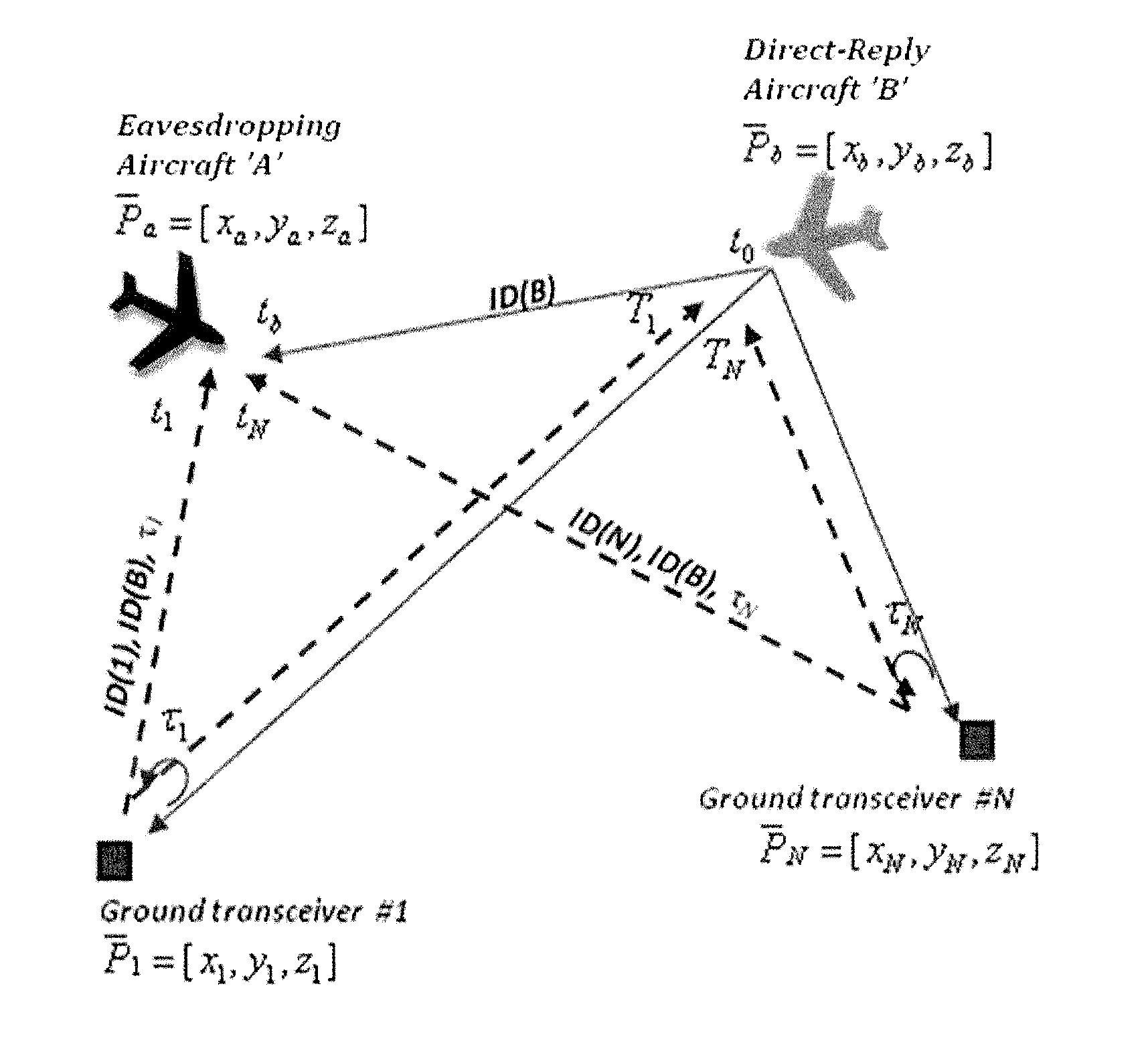
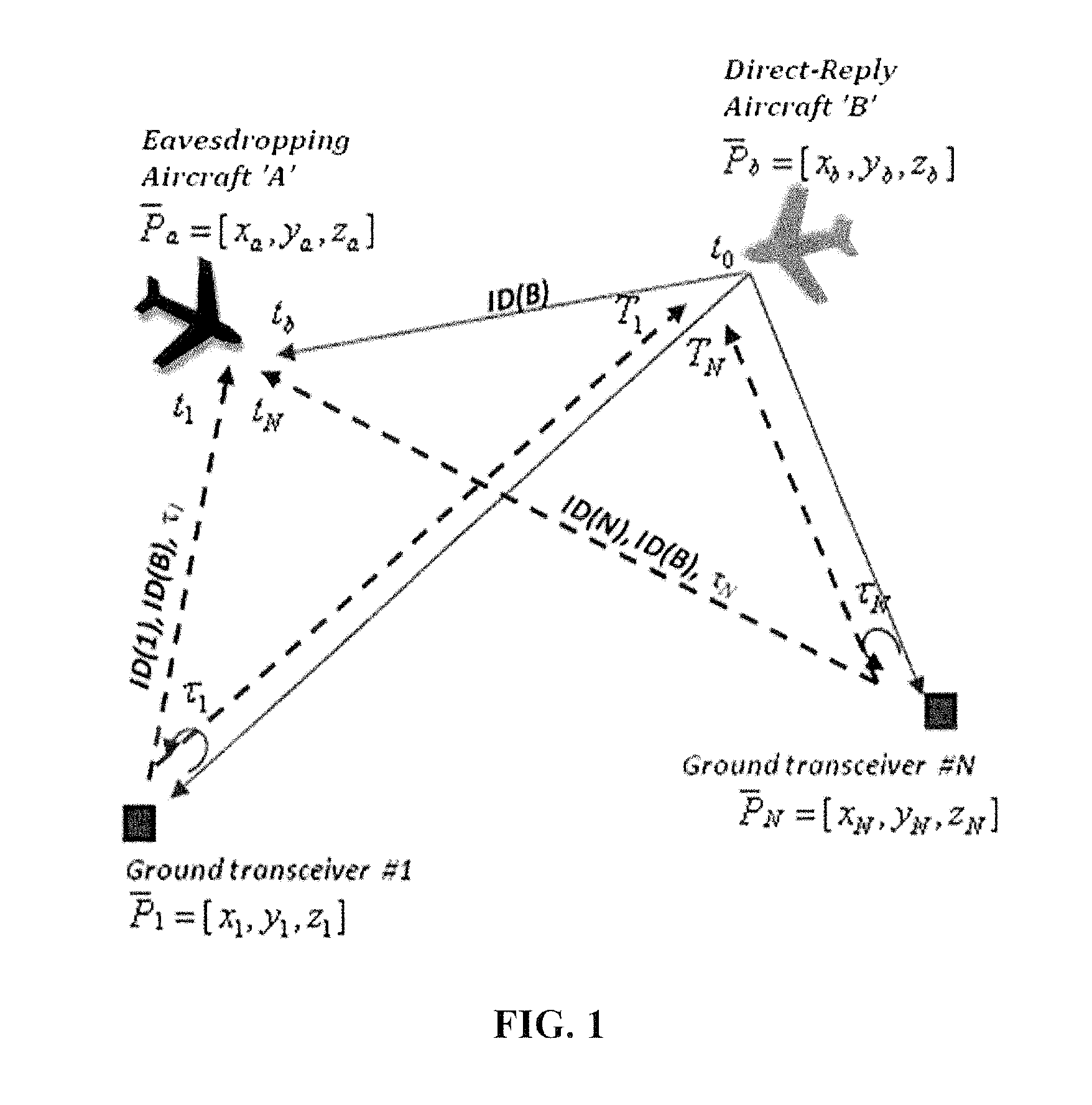
[0048]The present invention provides a new means of aircraft positioning, navigation, timing, and validation based on diverse-ranging processing that uses aircraft broadcast messages, such as ADS-B messages, and reply messages transmitted by ground transceivers. For example, in one embodiment of the present invention, at least two ground transceivers receive and selectively respond to aircraft broadcast messages emitted by at least a first aircraft (i.e., direct-reply aircraft). The direct-reply aircraft receives and timestamps the reply messages from at a plurality of ground transceivers and calculates own-aircraft position using diverse-ranging processing. A second aircraft (i.e., an eavesdropping aircraft) receives and timestamps the ADS-B messages transmitted by the direct-reply aircraft and corresponding ground reply messages and calculates own-aircraft position, and other-aircraft position (i.e. direct-reply aircraft's position) using diverse-ranging processing. The eavesdropp...


PUM


Abstract

A method of aircraft navigation via receiving signals emitted by other aircraft and corresponding reply message transmitted by ground transceivers and the using a new diverse-ranging algorithm that solves for the positions of a eavesdropping aircraft and the positions of direct-reply aircraft emitting the signals received by the eavesdropping aircraft.

Description

FIELD OF THE INVENTION[0001]The present invention relates to the field of providing aircraft positioning, navigation, timing, and validation service and capability in lieu of functioning Global Positioning System (GPS) using ground transceivers and Automatic Dependent Surveillance-Broadcast (ADS-B) equipped aircraft.BACKGROUND OF THE INVENTION[0002]For migrating aircraft navigation and the independent position determination of aircraft from the traditional navigational aids (NAVAIDS), such as VHF Omni-direction Range (VOR) and Distance Measuring Equipment (DME), Air Navigation Service Providers (ANSPs) are moving toward performance based navigation (PBN) that is largely based and dependent on GPS to provide highly accurate positioning capability to aircraft. The high positioning accuracy of a GPS navigation-based system makes possible more efficient flight procedures such as the Area Navigation (RNAV) as well as Required Navigation Performance (RNP) procedures to be designed and imp...

Claims


Application Information

Patent Timeline
IPC IPC(8): G01S13/93G01S13/75G01S13/42
CPCG01S13/781G01S13/878G08G5/0078G01S13/767G08G5/0013G08G5/0008G01S13/785G01S13/876G01S11/02H04K3/90H04K3/25H04K2203/22H04K3/82
Inventor WU, RYAN HAOYUNPERL, ELYAHU
Owner SAAB INC
Learn More