
Geotags For Accessing Local Information By The Visually Impaired

a technology for visually impaired and local information, applied in the field of new mobile smart device technology, can solve the problems of difficult, if not impossible, use of current devices, and difficulty in producing inexpensive products

Inactive Publication Date: 2017-07-27
HORBAL MARK
View PDF4 Cites 11 Cited by
  • Summary
  • Abstract
  • Description
  • Claims
  • Application Information

AI Technical Summary

Benefits of technology

This patent describes a way to use Geotags to send location-specific information to a device. The Geotailts can be made very cheaply and can provide static or dynamic information. This helps the device access additional information related to changing situations and send it to the user. The technical effect is that this enables a device to obtain and use information based on its location.

Problems solved by technology

Unfortunately, current Devices present a significant disadvantage to the Blind.
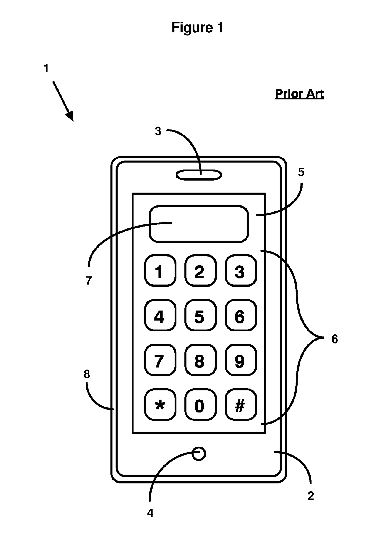
Of course, the Blind will find this type of input system very difficult, if not impossible, to use.
Because of their inherent complexity, modern Devices typically employ a touch screen as the primary interface between the user and the device.
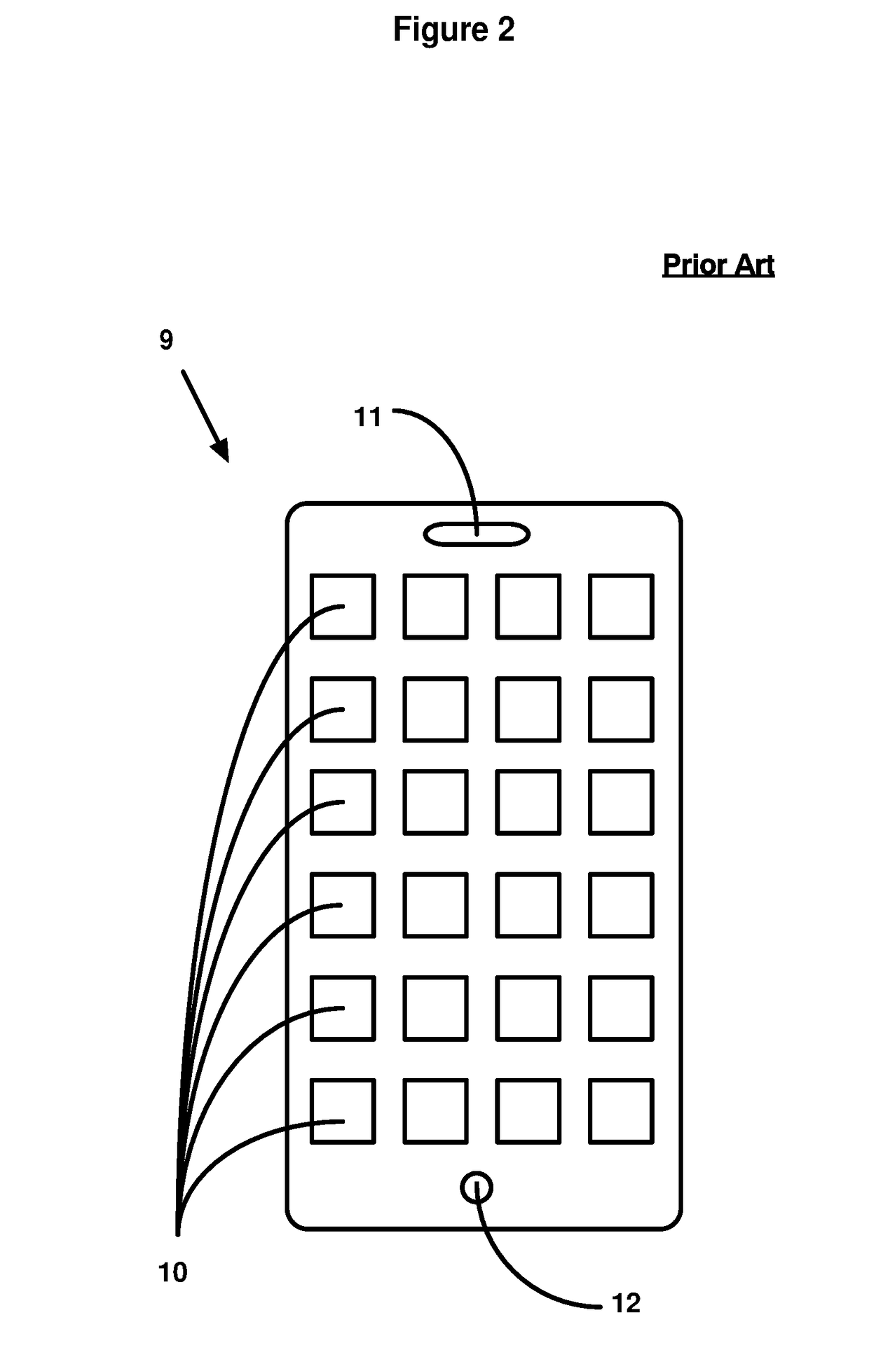
Although intuitive and easy to use for most people, the touch screen user interface is very challenging for the Blind for a number of reasons: (a) the App / Web elements are typically displayed as icons that cannot be seen by the Blind, (b) physical interaction with the touch screen is accomplished by a precise visually guided touch by the user, a task impossible for the Blind, (c) even if learned, the position of screen icons can change by reconfiguration or updates to the Apps or the operating system of the device, and (d) although the Devices themselves typically adhere to a consistent positioning of icons used to start / enter Apps and web pages from the menu, these standards are typically not followed by the Apps or web pages themselves, once started or entered.
Furthermore, even if a Blind person wants to use a simple application, such as making a telephone call, it can be difficult even if the keys are located in the same place.
Of course, most Apps have icons that are not fixed like a telephone keypad, and as a result, they may not be usable by the Blind.
As a result, while many useful Devices are taken for granted by the sighted, often cannot be used by the Blind.
However, a drawback related to such covers is that even if Devices are made such that a blind user can easily locate entry points on the Device's touch panel screen, it fails to provide information related to the physical surroundings the blind person is in, or provide any information related to events that are related the that particular physical location.
However, Devices that only assist a blind individual in operating a Device solve one type of problem experienced by the Blind.
Another problem that blind individuals have is that they do not have information that is readily available to sighted individuals in public places.
Likewise, blind individuals would have no way of knowing if they were at a public transportation stop, when the next transit vehicle was due to arrive, or at other public venues.
While the prior art has provided a variety of high function Devices for the sighted, it has failed to provide Devices that can also be used by the Blind.

Method used


Image

  • Geotags For Accessing Local Information By The Visually Impaired
  • Geotags For Accessing Local Information By The Visually Impaired
  • Geotags For Accessing Local Information By The Visually Impaired

Examples


Embodiment Construction

[0024]The preferred embodiment uses Geotags that are broadly distributed across geographic locations. The Geotags provide information related to the specific location they are in, and communicate with a user's Device when the user is in proximity to the Geotag.

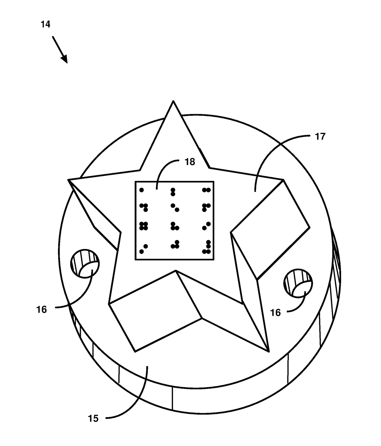
[0025]In the preferred embodiment, a Geotag consists of a (i) passive RFID or NFC circuit containing a unique ID, (ii) encapsulated in a case or package and (iii) equipped with a means of attaching the Geotag to a building or other structure such as a door, the interior of an elevator, exterior of a vending machine, a bus stop or rail station post, etc.

[0026]While the shape and external appearance of a Geotag are not necessarily important to a sighted individual, they are very important to a blind individual. Their unique shape still allows the device to be visually recognized by normally sighted people, but also allows the device to be detected by palpation by those who are blind or visually handicapped. In the preferred embo...


PUM


Abstract

Geotags, installed at fixed locations, communicate location specific information to a Device that uses that information to access additional information, either stored locally or accessed from remote systems. The information provided by the Geotags can be static information, such as addresses, or just unique IDs that can be translated to Internet URL addresses that are used by the Device to obtain dynamic information related to changing situations or allow the user to interact with locations to which the Geotag is affixed. The information is then used by blind individuals to navigate movement in their physical environment. The Geotags may further incorporate optional indicia, such as Braille, on the grid surface to aid a blind user.

Description

CROSS-REFERENCE TO RELATED APPLICATIONS[0001]This application is related to, and claims the benefit of, the copending provisional patent application entitled “Universal Intelligent Module For Communications, Transactions, and Payments,” filed Jan. 25, 2016, bearing U.S. Ser. No. 62 / 286,525 and naming Mark Horbal, the named inventor herein, as sole inventor, the contents of which is specifically incorporated by reference herein in its entirety.BACKGROUND[0002]Technical Field[0003]This invention relates in general to accessing location specific information by portable electronic devices, with value for the general population and with special value for the visually impaired. In particular, it relates to a novel system for mobile smart devices, such as cellular phones, smart phones, computer tablets, and other portable electronic devices. The invention provides NFC and / or RFID tags (“Geotags”) that are placed in specific geographic locations. A mobile smart device detects the Geotag whe...

Claims


Application Information

Patent Timeline
Patent Type & Authority Applications(United States)
IPC IPC(8): H04W4/02H04W4/021
CPCH04W4/02H04W4/021
Inventor HORBAL, MARK
Owner HORBAL MARK
Learn More