Method and apparatus for storing cartographic route data

a cartographic route and data technology, applied in the field of storage of geographic feature data, can solve the problems of high cost, increased system cost, and high cost of route planning system memory storage spa

Inactive Publication Date: 2001-02-13
GARMIN
View PDF5 Cites 45 Cited by
  • Summary
  • Abstract
  • Description
  • Claims
  • Application Information

AI Technical Summary

Benefits of technology

to provide an efficient format for storing and recalling navigational and graphical data in one memory location.
After the cartographic data is stored in memory, the navigation unit can calculate distance to a destination or display cartographic data. To calculate a distance, the unit determines the X and Y coordinates of the vehicle's current location and the coordinates of the desired final location. The navigation unit then searches the first level feature data records to determine what feature record contains the coordinates of the current location and the final destination. The unit determines if the current location and the final location are on the same feature level. If so, the processor calculates the distance between the two points by the coordinate data. If the coordinate location and the final location are not on the same feature, the navigation device then examines whether the current location and the final destination are on the same link. If so, the unit calculates the distance from feature to feature along the link. If the current location and the current destination are not on the same link, the navigation device determines whether these two locations fall within the same network. If so, the unit calculates the distance between the links along the network. If, however, the current location and the current destination are not on the same network, the navigation device defaults to a straight line calculation of the distance from the current location to the final destination. To improve the accuracy of the straight line calculation, the navigation device allows the user to designate multiple intersections over existing thoroughfares to establish a common network of thoroughfares connecting the current location and the final destination. The navigation unit can then calculate the distance between the two points either as a straight line or across the common network to determine the distance of the route. The navigation device displays the distance on the display screen and will continuously update the distance by repeating the calculation process approximately once every second.

Problems solved by technology

As increased system capability also increases system cost, the method of route planning implemented by a navigation device is a function of overall system cost.
The higher cost route planning systems require a great amount of memory storage space to store every potential route, as well as a need for a powerful processor to analyze the enormous amount of data stored in the memory.
While highly accurate navigational devices eliminate user intervention, their corresponding high cost eliminates a potential market which is unwilling to pay the cost associated with the accuracy and the ease of little intervention.
The low cost system route planning data can be highly inaccurate because the system does not take into account actual thoroughfare layouts.
However, if the only available road to that destination is a windy road around the mountain entailing 30 miles of actual driving, the route planning distance calculated by a low cost system implementing the straight line method will be inaccurate.
Because the low cost systems are so inaccurate, the practicality of their implementation is reduced by their large potential for error.
Because the data contained within both records is repetitive, the redundancy creates a burden on the memory resources of the route planning system.
This burden increases substantially in the higher cost systems because of the larger amounts of data needed by the system.
Thus, both the high cost and the low cost navigational devices unduly burden system resources by the use of separate navigation and graphical record banks.
The lower cost systems currently offer a low degree of accuracy inadequate for users.
In addition, both the higher cost and the lower cost system burden overall navigational system resources by the duplication of cartographic data.
However, if a particular thoroughfare has turns or is windy, there will be frequent changes in coordinates along both axis.

Method used


Image

  • Method and apparatus for storing cartographic route data
  • Method and apparatus for storing cartographic route data
  • Method and apparatus for storing cartographic route data

Examples


Embodiment Construction

For a better understanding of the present invention, reference may be had to the following detailed description taken in conjunction with the appended claims and accompanying drawings. In essence, the present invention enables an electronic navigational thoroughfare planning device to calculate the distance between a vehicle's current location to an established destination along an established thoroughfare. Utilizing global positioning systems (GPS) data and internal memory, the navigational device implements a three-level hierarchy for storing, recalling and processing navigational and graphical data.

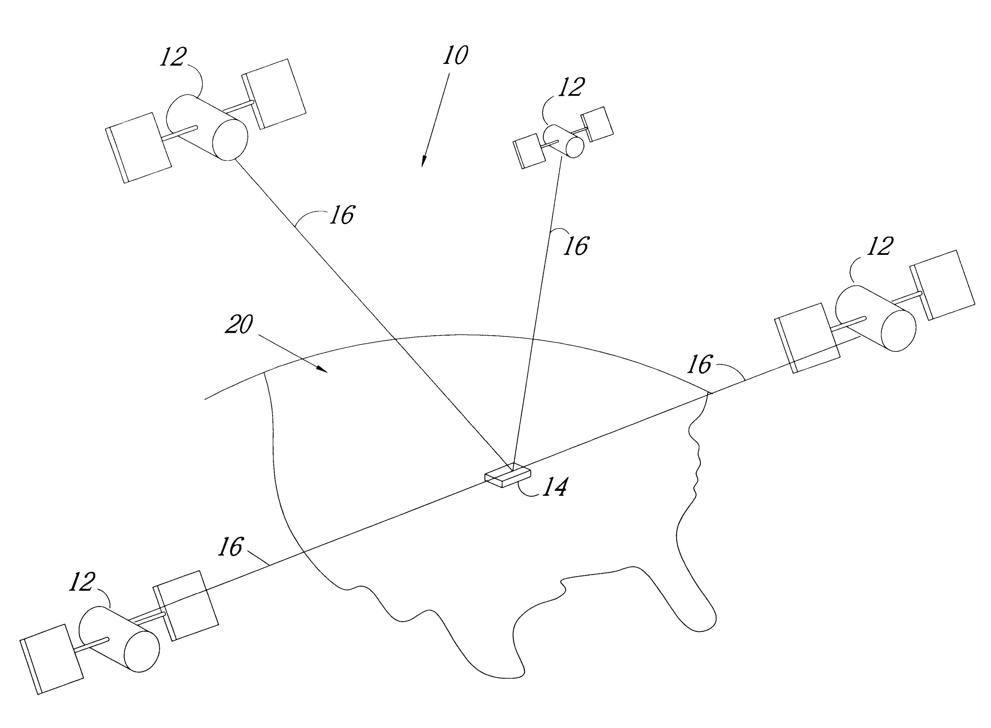
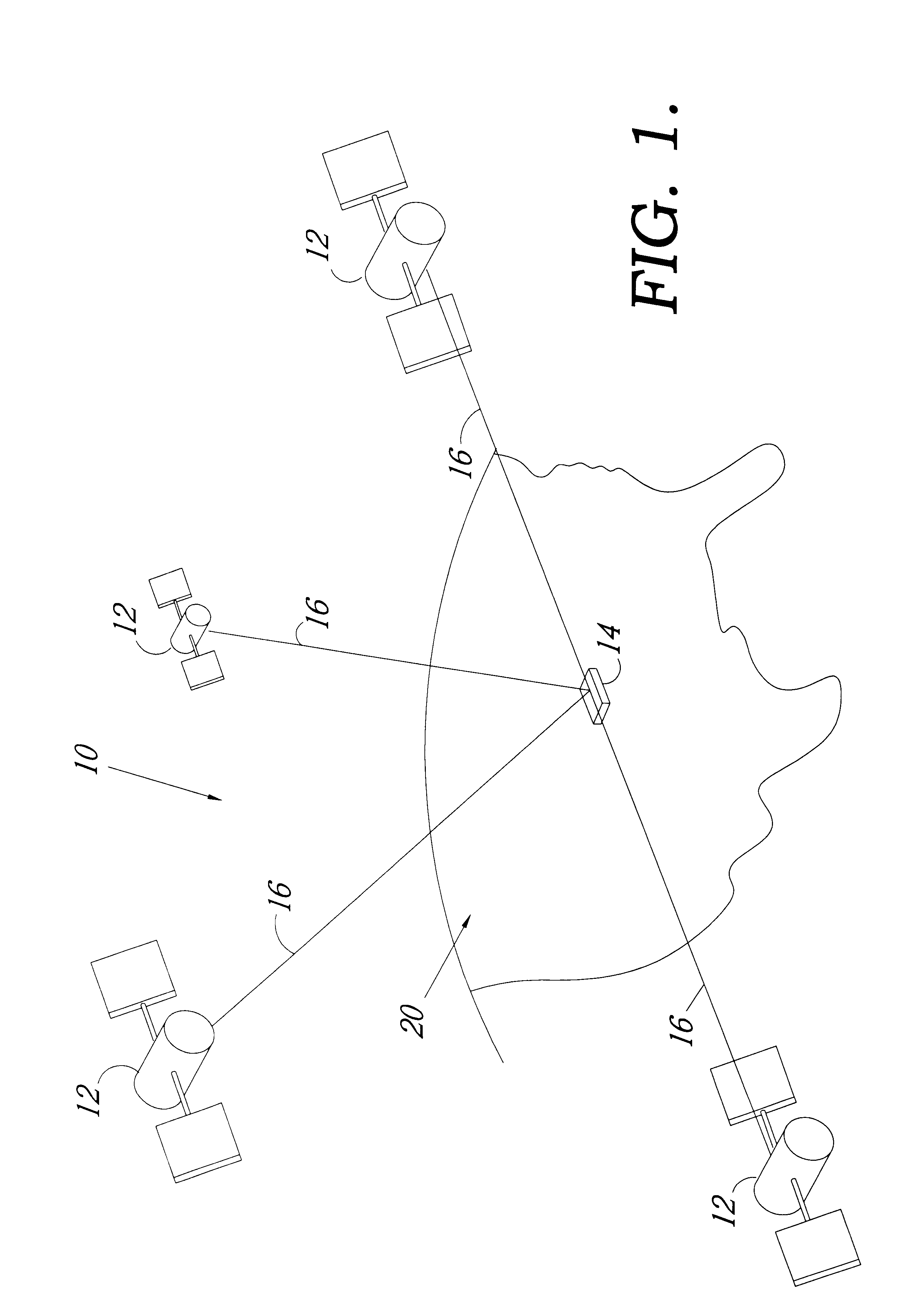
FIG. 1 is a representative of a GPS system, denoted generally by reference numeral 10. A plurality of satellites 12 are in orbit about the Earth 20. The orbit of each satellite 12 is not necessarily synchronous with the orbits of other satellites 12 and, in fact, is likely asynchronous. A GPS receiver device 14 of the present invention is shown receiving spread spectrum GPS satellite s...


PUM


Abstract

A method and device implementing a three-level hierarchy for storing, recalling and processing navigational and graphical data. A vehicle is equipped with an electronic navigation thoroughfare planning device capable of calculating the distance to a desired thoroughfare. To calculate a distance, a driver inputs a plurality of variables, including cartographic data and a final desired destination, as well as several potential additional variables. Upon receiving the driver inputs, the navigation device implements a three-level hierarchy for storing, recalling and processing cartographic data. After the cartographic data is stored in memory, the navigation unit can calculate distance to a thoroughfare utilizing a cascading search method beginning with searching the most specific first level and progressing to the broader second and third levels until a common network between the two locations is established. The navigation device can also utilize the three level hierarchy to display cartographic data as a graphical map on the unit utilizing the same cascading method to display detail on the display screen and locate the specific details on any coordinate on the screen. Therefore the navigation unit utilizes the same three level hierarchy to calculate distance to a desired destination and to display a graphical representation of the map.

Description

1. Field of InventionIn general, this invention relates to the storage of geographic feature data and more particularly, to a method and apparatus for storing geographic coordinate data in an efficient manner to be utilized for both graphical and navigational processes.2. Description of the Related ArtRoute planning devices are well known in the field of navigational instruments. The method of route planning implemented by known prior art systems depends on the capabilities of system resources, such as processor speed and the amount and speed of memory. As increased system capability also increases system cost, the method of route planning implemented by a navigation device is a function of overall system cost. Some of the higher cost systems implement a nodal analysis in which the route planning system determines every potential path from a present location to a desired location from data stored in memory. The route planning system then examines each potential path and eliminates p...

Claims


Application Information

Patent Timeline
Patent Type & Authority Patents(United States)
IPC IPC(8): G01C21/34
CPCG01C21/3446
Inventor ROBINSON, STEPHEN C.BEESLEY, DARIN J.WALTERS, THOMAS H.
Owner GARMIN
Why Eureka
Try Eureka