Position location using ghost canceling reference television signals

a technology of television signal and location location, applied in direction finders using radio waves, navigation instruments, instruments, etc., can solve the problem that conventional television signal receivers are unable to acquire timing information, and achieve the effect of reducing cost and low received signal-to-noise ratio (snr)

Inactive Publication Date: 2005-04-12
TRUE POSITION INC
View PDF28 Cites 49 Cited by
  • Summary
  • Abstract
  • Description
  • Claims
  • Application Information

AI Technical Summary

Benefits of technology

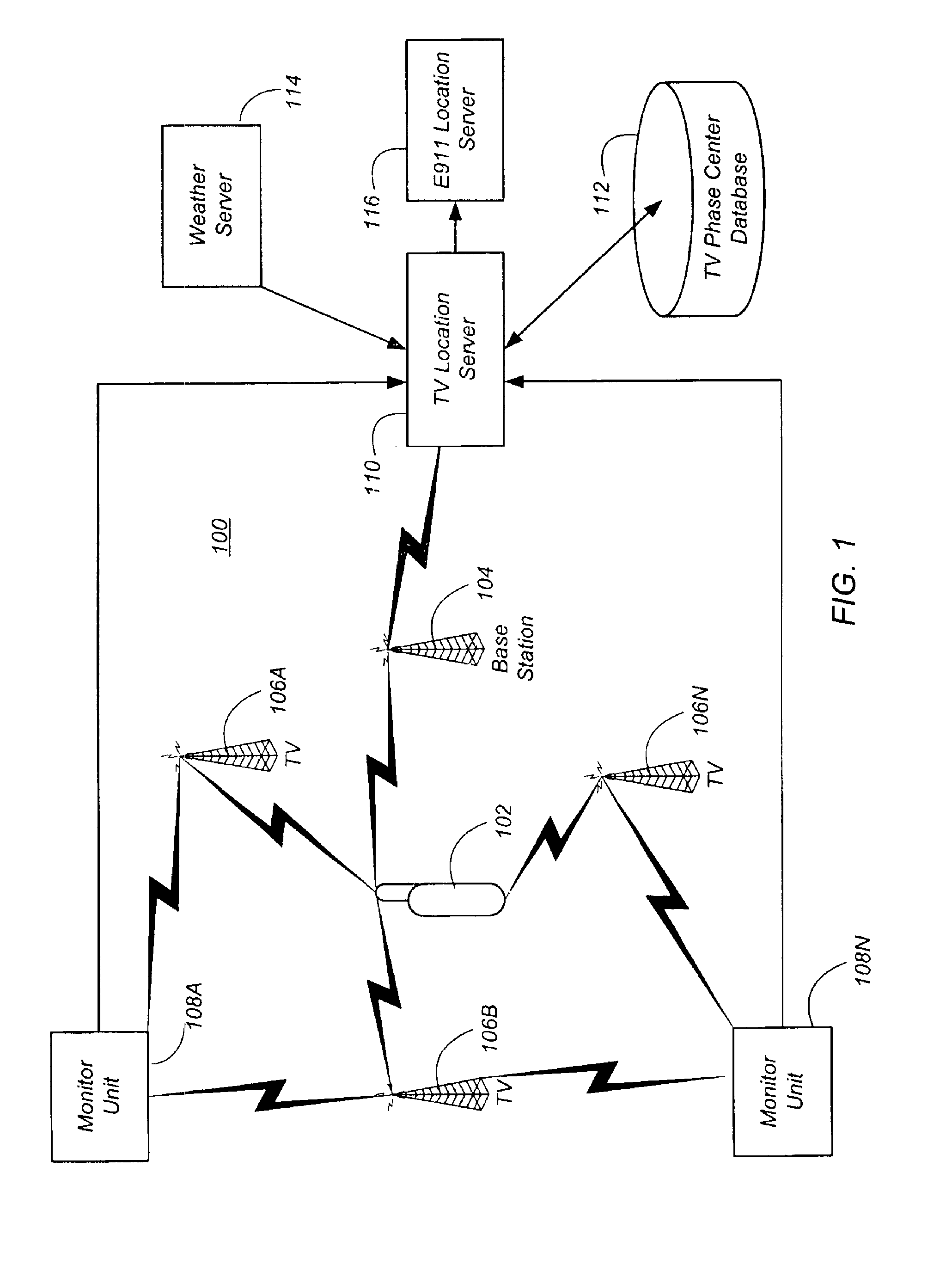
These techniques are usable at a range from the transmitter much greater than the typical analog TV reception range. Because of the high power of the analog TV signals, these techniques can even be used indoors by handheld receivers, and thus provide a solution to the position location needs of the Enhanced 911 (E911) system.
The techniques disclosed herein provide several advantages. The techniques are effective at low received signal-to-noise ratio (SNR) consistent with recept

Problems solved by technology

These techniques can track signals which are below the noise floor, and for which a c

Method used


Image

  • Position location using ghost canceling reference television signals
  • Position location using ghost canceling reference television signals
  • Position location using ghost canceling reference television signals

Examples


Embodiment Construction

As used herein, the term “server” generally refers to an electronic device or mechanism, and the term “message” generally refers to an electronic signal representing a digital message. As used herein, the term “mechanism” refers to hardware, software, or any combination thereof. These terms are used to simplify the description that follows. The servers and mechanisms described herein can be implemented on any standard general-purpose computer, or can be implemented as specialized devices.

Implementations of the invention are described below with reference to the NTSC (National Television System Committee) standard, which has been adopted in the United States, Canada, Mexico and elsewhere. Recently, a new modification to the United States NTSC analog TV system has been proposed, adopted by the ATSC, and is now being incorporated in analog TV transmissions. This modification is called the Ghost Canceling Reference (GCR) signal for NTSC, and is present in most NTSC analog broadcast tele...


PUM


Abstract

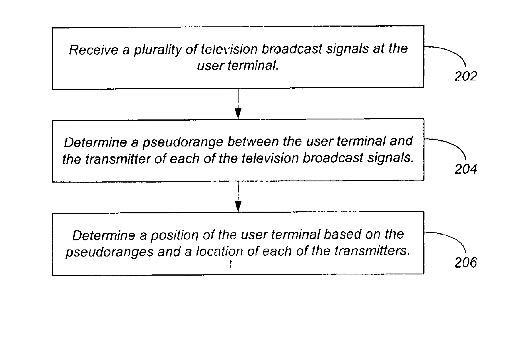
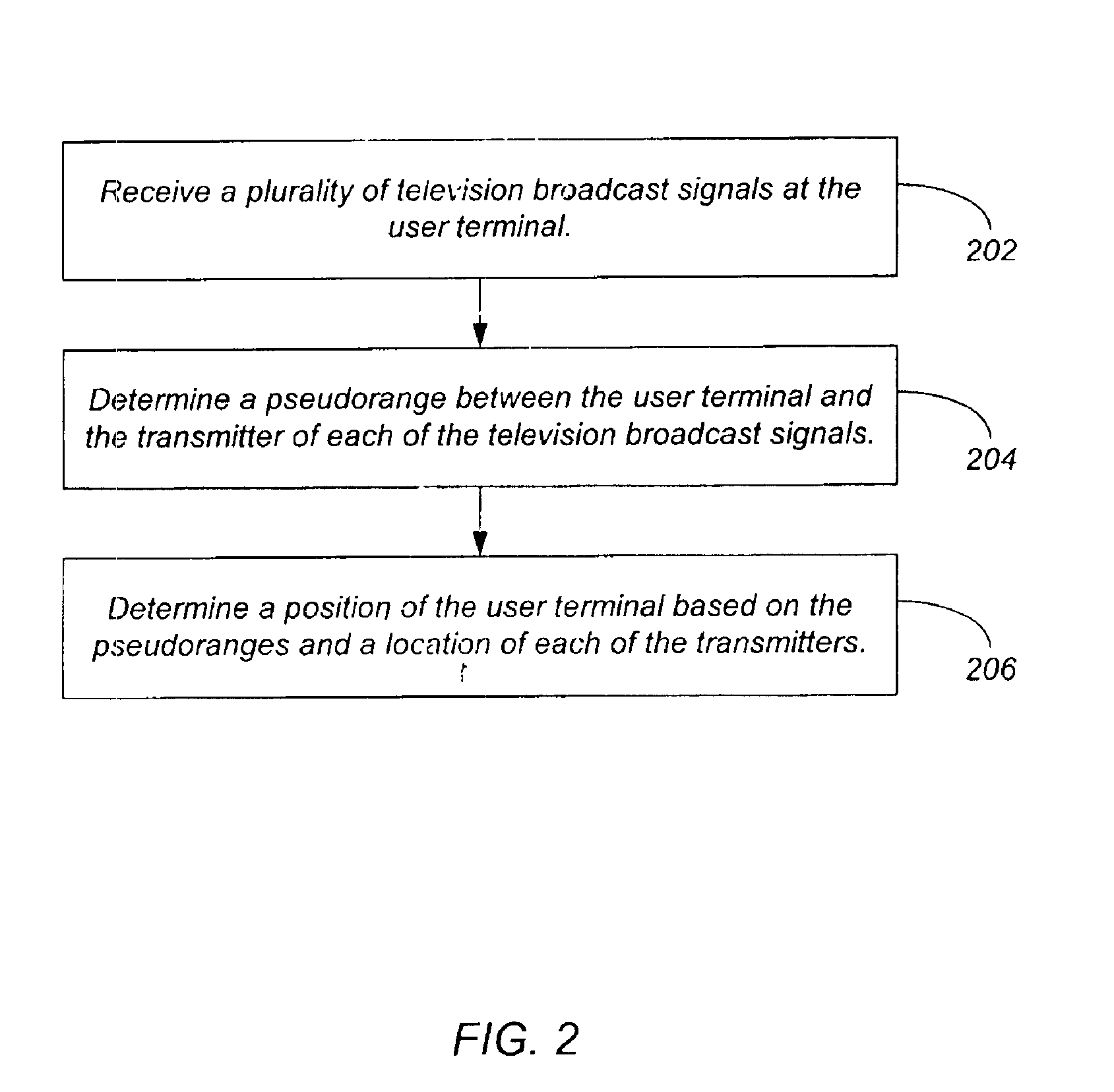
A method, apparatus, and computer-readable media for determining the position of a user terminal comprises receiving, at the user terminal, a broadcast analog television signal comprising a chirp-type signal; and generating a pseudorange based on the chirp-type signal; and wherein the location of the user terminal is determined based on the pseudorange and a location of a transmitter of the broadcast analog television signal.

Description

BACKGROUNDThe present invention relates generally to position determination, and particularly to position determination using analog broadcast television signals.There have long been methods of two-dimensional latitude / longitude position location systems using radio signals. In wide usage have been terrestrial systems such as Loran C and Omega, and a satellite-based system known as Transit. Another satellite-based system enjoying increased popularity is the Global Positioning System (GPS).Initially devised in 1974, GPS is widely used for position location, navigation, survey, and time transfer. The GPS system is based on a constellation of 24 on-orbit satellites in sub-synchronous 12 hour orbits. Each satellite carries a precision clock and transmits a pseudo-noise signal, which can be precisely tracked to determine pseudo-range. By tracking 4 or more satellites, one can determine precise position in three dimensions in real time, world-wide. More details are provided in B. W. Parki...

Claims


Application Information

Patent Timeline
IPC IPC(8): G01S5/14G01S5/00G01S5/02G01S19/46H04N21/258H04N21/2662H04N21/2668H04N21/414H04N21/61H04N21/81
CPCH04N21/8126G01S5/0036G01S5/0054G01S5/0081G01S5/021G01S5/0215G01S5/0221G01S5/14G01S19/46H04N21/25841H04N21/2662H04N21/2668H04N21/41422H04N21/615G01C21/206A63F2300/205G01S5/145G01S5/0226
Inventor RABINOWITZ, MATTHEWSPILKER, JR., JAMES J.
Owner TRUE POSITION INC
Why Eureka
Try Eureka