Method and device for recognizing road signs in the vicinity of a vehicle and for synchronization thereof to road sign information from a digital map

a road sign and digital map technology, applied in the direction of image enhancement, distance measurement, instruments, etc., can solve the problems of reducing the reliability factor of the camera, the inability to optimally process the information of the map and the recognition device, and the rapid age of the digital map and the inability to recognize the road signs in the vicinity of the vehicle. , to achieve the effect of improving the information of the road sign

Active Publication Date: 2014-12-23
ROBERT BOSCH GMBH
View PDF26 Cites 37 Cited by
  • Summary
  • Abstract
  • Description
  • Claims
  • Application Information

AI Technical Summary

Benefits of technology

[0022]Thus, a better mapping of the actual situation and, consequently, in some instances also an improved adaptation of assistance systems, such as route guidance and driving situation recommendations, for example, may be achieved in accordance with the present invention. This enables the driver to also have greater confidence in the same. The quality of the system may be significantly enhanced in view of the fact that the digital maps are often obsolete because the customer does not continually update them or because the road sign situation constantly changes.
[0027]The example method in accordance with the present invention may be particularly effective when the road signs are speed-limit signs. However, all other road signs may also be verified.

Problems solved by technology

However, such a digital map quickly becomes outdated since road signs used for road traffic are frequently changed.
In all of these conventional devices and methods, it has proven to be disadvantageous that contradictory information from the map and recognition device cannot be optimally processed due, for example, to obsolescing map information or because the reliability determination made by the road-sign recognition device is typically not adapted to the ambient situation.
When the weather is poor (fog, heavy rainfall or snow) and at night, the camera's reliability factor decreases.
The camera's reliability factor is worse, respectively is poor in bad weather and on a winding road, for example.
If a relatively old camera is used for road-sign recognition, this may lead to a lower reliability factor.
However, depending on the particular situation, cameras may also provide incomplete recognitions.
However, if the camera does not recognize any road sign, for example, but its reliability factor is low, and the digital map is old, and its reliability factor is, therefore, also low, a road sign would nevertheless be indicated if the digital map specifies a road-sign, since this should also be indicated to the driver for safety reasons.
Thus, if both the map data are no longer up-to-date and the weather, thus the viewing conditions for the camera are poor, then both the camera, as well as the map data have a low reliability factor.

Method used


Image

  • Method and device for recognizing road signs in the vicinity of a vehicle and for synchronization thereof to road sign information from a digital map
  • Method and device for recognizing road signs in the vicinity of a vehicle and for synchronization thereof to road sign information from a digital map

Examples


Embodiment Construction

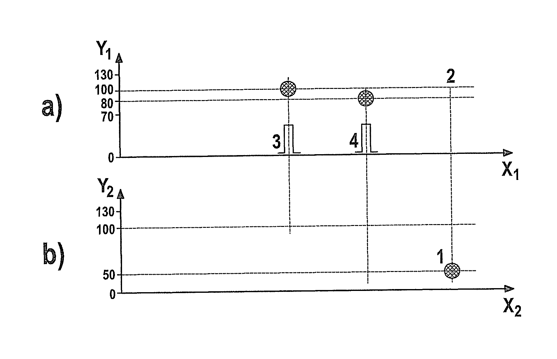
[0041]The curves illustrated in FIG. 1 below points 3 and 4 represent a pulse since a road-sign recognition on the part of the camera takes place only during one point in time and not over a certain time period. For the example method according to the present invention, it is merely important that the camera have recognized or have not recognized a road sign at a certain point in time (+ one tolerance in seconds or meters).

[0042]As illustrated in FIG. 1, the following situation may arise during operation of a motor vehicle. In a specific vehicle situation and vehicle position, a road sign is indicated in the digital map of the navigation system of the vehicle. This is illustrated in FIG. 1b) by a reference numeral 1 in the diagram. However, it is precisely in this situation that the vehicle's camera does not recognize any road sign, respectively any still valid road sign. This is illustrated in FIG. 1a) by reference numeral 2.

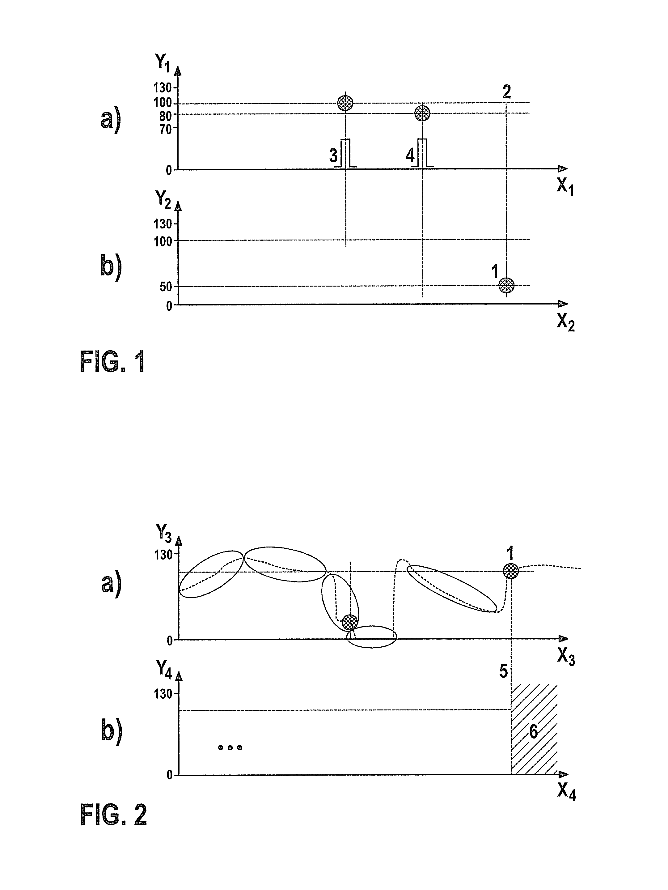
[0043]In FIG. 2, a diagram is shown; in a), the reliabili...


PUM


Abstract

A method for recognizing road signs in the vicinity of a vehicle and for synchronization thereof to road sign information from a digital map where, in the case of a recognition of road signs, road-sign recognition data are generated, navigation data being provided for localizing the vehicle in digital map data, and the road-sign recognition data being synchronized to the map data. To be able to provide unambiguous and the most accurate possible and thus improved road sign information to be output to the driver in the context of such a method, in the case of a discrepancy between the map data and the road-sign recognition data, the decision is made with the aid of reliability factors for the camera and map as to whether the data from the digital map or the road-sign recognition data are output in the vehicle.

Description

CROSS REFERENCE[0001]The present application claims the benefit under 35 U.S.C. §119 of German Patent No. DE 102010062633.3, filed on Dec. 8, 2010, which is expressly incorporated herein by reference in its entirety.FIELD OF THE INVENTION[0002]The present invention relates to a method for recognizing road signs in the vicinity of a vehicle and for synchronization thereof to road sign information from a digital map.BACKGROUND INFORMATION[0003]Traffic routes today have a great variety of road signs. In particular, the multitude of signs, also generally referred to as a traffic-sign jungle, make a motor vehicle driver less and less apt to recognize the road signs or more likely to forget the same. Therefore, driver assistance systems have been developed, to be provided in the dashboard, for example, in order to inform the driver of currently valid road signs.[0004]Thus, for example, European Patent No. EP 1 826 736 A1 describes a vehicle having a road-sign recognition device which incl...

Claims


Application Information

Patent Timeline
Patent Type & Authority Patents(United States)
IPC IPC(8): G08G1/0967G01C21/00G01C21/26G01C21/36G06K9/00
CPCG08G1/096716G06K9/00818G08G1/096758G08G1/096783G01C21/3602G06K9/00791G06T2207/30252G08G1/09623G06V20/582G06V20/56
Inventor NIEM, WOLFGANGIBELE, PHILIPP
Owner ROBERT BOSCH GMBH
Why Eureka
Try Eureka