
Navigation information correcting method and navigation device thereof

A navigation device and navigation information technology, applied to road network navigators and other directions, can solve the problems of unable to correct the radial position, no corrected positioning information, etc.

Active Publication Date: 2010-06-23
IND TECH RES INST
View PDF1 Cites 16 Cited by
  • Summary
  • Abstract
  • Description
  • Claims
  • Application Information

AI Technical Summary

Problems solved by technology

Since this method assumes that the vehicle cannot deviate from the road system under normal driving conditions, the lateral offset distance between the positioning coordinates and the map data is compared, and the positioning coordinates are forcibly pasted on the road system, that is, only the lateral position can be corrected, and the position cannot be corrected. Correct the radial position, and only perform texture correction, without correcting positioning information

Method used


Image

  • Navigation information correcting method and navigation device thereof
  • Navigation information correcting method and navigation device thereof
  • Navigation information correcting method and navigation device thereof

Examples


Embodiment Construction

[0042] Below in conjunction with accompanying drawing, structural principle and working principle of the present invention are specifically described:

[0043] see image 3 As shown, this figure is a schematic flow chart of an embodiment of the navigation information correction method of the present invention. The navigation information modification method 2 includes the following steps: firstly, in step 20, a navigation route is provided to a vehicle. In this step, there are many ways to generate the navigation path, and the existing global positioning system or map programs all have the function of generating the navigation path. Generally speaking, the generation method is mainly based on the starting point or the starting coordinate position (latitude and longitude) and the end point or the ending coordinate position (latitude and longitude) input by the user, and then according to the time (the shortest time) or the distance (distance The shortest) requirement generates...


PUM


Abstract

The invention provides a navigation information correcting method. The method comprises the following steps of: detecting the state information of a carrier in driving, comparing the state information with the characteristic information of one characteristic point in a navigation path, judging whether the carrier passes through the characteristic point or not according to the comparison result, and then correcting the positioning coordinate of the carrier. In the other embodiment, the invention also provides a navigation device, which mainly utilizes a sensing module capable of sensing the carrier state, a signal processing unit and a storing unit stored with map information, wherein the sensing module is used for detecting the state of the vehicle in driving to generate the state information, the signal processing unit is used for comparing the state information with the characteristic information of the characteristic point in the navigation path, and then the deflected navigation path of the carrier is corrected to the correct position.

Description

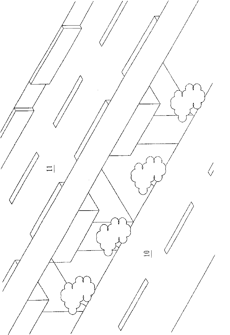
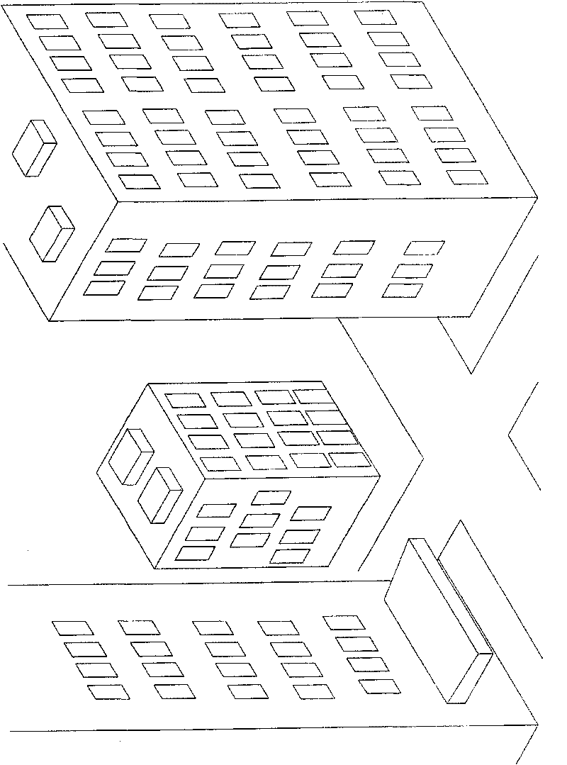
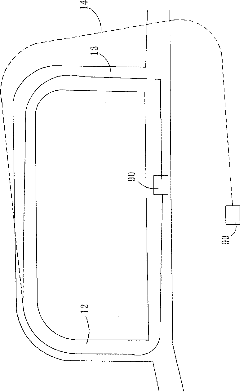
technical field [0001] The invention relates to a technique for judging and correcting navigation information, in particular to a navigation information correction method capable of correcting a vehicle positioning position and a navigation device thereof. Background technique [0002] With the development of traffic construction, there are more and more three-dimensional roads such as underground passages and viaducts in urban areas. At present, portable navigation devices (PND) products on the market often have poor positioning due to satellite signal shading, which makes Users have a bad impression on navigation products related to the global positioning system (GPS). by Figure 1A The terrain shown is an example, which is that the plane road 10 is parallel to the three-dimensional road 11 (for example: a viaduct), and the satellite signal will be blocked by the three-dimensional road 11 when driving on the plane road 10 . In addition, if Figure 1B As shown, it is a sc...

Claims


Application Information

Patent Timeline
IPC IPC(8): G01C21/34
Inventor 张祥杰陈永裕
Owner IND TECH RES INST
Learn More