

Satellite stereo image shadow calculating method integrated with light detection and ranging (LiDAR) point clouds
A technology of three-dimensional images and calculation methods, which is applied in calculation, image analysis, photo interpretation and other directions to achieve the effect of improving accuracy, accurate shadow position coordinates, and promoting research.
- Summary
- Abstract
- Description
- Claims
- Application Information
AI Technical Summary
Problems solved by technology
Method used
Image

Examples
Embodiment Construction
[0023] The present invention will be further described below in conjunction with the embodiments shown in the accompanying drawings.
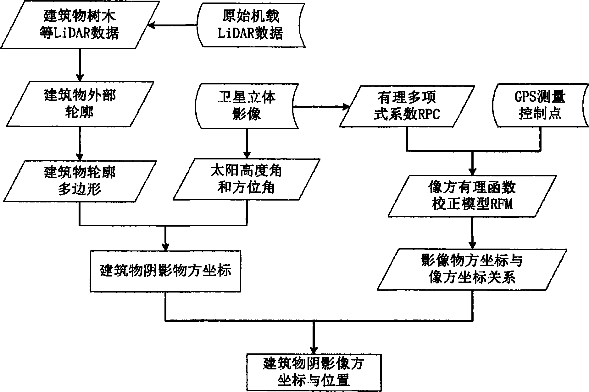
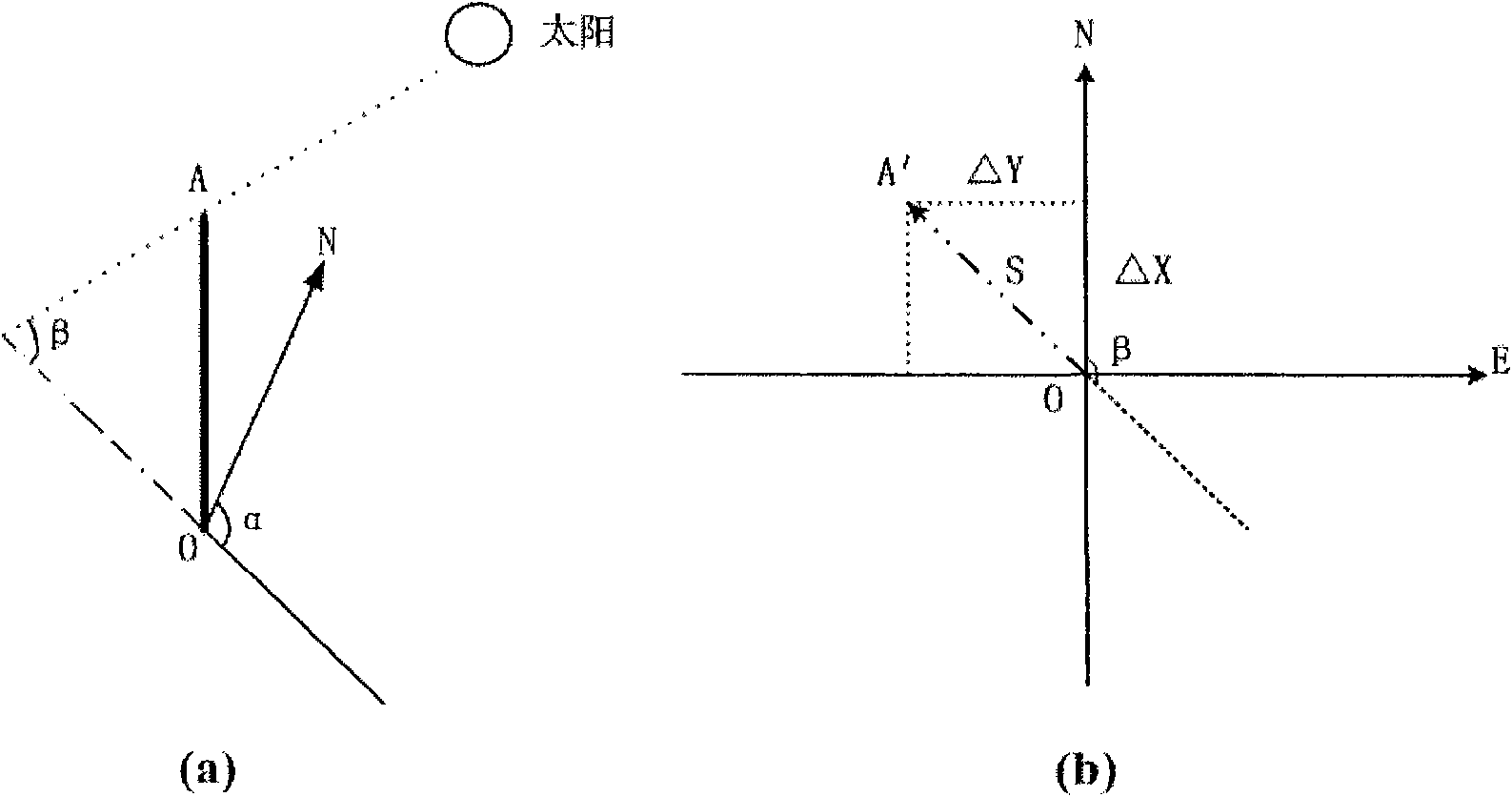
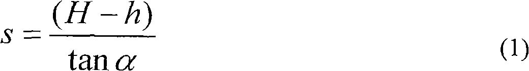
[0024] See attached figure 1 , the present invention integrates airborne LiDAR point cloud data and satellite stereo images to detect and coordinate calculation of image shadows, especially building shadows. First, the original LiDAR point cloud data is filtered to obtain LiDAR including non-ground points such as buildings and trees. Point cloud, and then use the point wrapping algorithm with distance control to obtain the outsourcing polygon of the feature point set, obtain the outline polygon of the feature by judging the positional relationship between the point and the polygon, and filter and simplify the shape of the outline polygon to obtain the external outline of the building Polygon; the object space coordinates of the building shadow can be solved from the information of the sun elevation angle and azimuth angle at the moment of image...
PUM
 Abstract
Description
Claims
Application Information