Sea and land boundary detection method based on level set algorithm

A detection method and level set technology, applied in calculation, measurement devices, image analysis, etc., can solve the problems of blurred sea and land boundaries, slow detection speed, large noise, etc., and achieve full automation, fast detection speed, and fewer iterations Effect

Active Publication Date: 2013-06-05
GRADUATE SCHOOL OF THE CHINESE ACAD OF SCI GSCAS
View PDF4 Cites 8 Cited by
  • Summary
  • Abstract
  • Description
  • Claims
  • Application Information

AI Technical Summary

Problems solved by technology

Due to the image of the infrared channel of remote sensing data, the boundary between sea and land is relatively blurred and the noise is large. Traditional edge detection methods such as Canny, Sobel, etc., the threshold selection has a great impact on the detection results, and the detection process cannot be automate

Method used


Image

  • Sea and land boundary detection method based on level set algorithm
  • Sea and land boundary detection method based on level set algorithm
  • Sea and land boundary detection method based on level set algorithm

Examples


Embodiment Construction

[0017] The present invention will be described in detail below in conjunction with the accompanying drawings and embodiments.

[0018] The sea-land boundary detection method based on the level set algorithm of the present invention comprises the following steps:

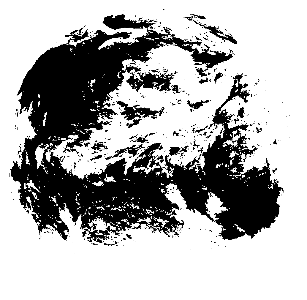
[0019] 1. According to the relevant parameter information of a satellite at a specific position, use the GMT (the Generic Mapping tools) tool to generate the sea and land boundary template corresponding to the satellite at a specific position;

[0020] GMT is an existing software dedicated to drawing maps. It is also a drawing tool widely used by the geography community. It can complete the drawing of coastlines, national boundaries, and rivers. Such as figure 1 , figure 2 As shown, the size of the sea-land boundary template is consistent with the size of the remote sensing image captured by the satellite, and the geographical information represented by the position of each pixel in the sea-land boundary template ...


PUM


Abstract

The invention relates to a sea and land boundary detection method based on a level set algorithm. The sea and land boundary detection method based on the level set algorithm includes the following steps: (1) adopting a ground moving target (GMT) tool to generate a sea and land boundary module corresponding to a specific position satellite; (2) conducting pretreatment to a to-be-detected remote sensing image which is shot by the specific position satellite; (3) adopting the level set algorithm to conduct treatment to the to-be-detected remote sensing image so as to generate a sea and land boundary; (4) adopting a traditional edge detection method to conduct detection to the to-be-detected remote sensing image so as to generate a sea and land boundary; (5)conducting an intersection obtaining algorithm to the two different sea and land boundaries which are obtained from the step (3) and the step (4) to generate a final sea and land boundary. The sea and land boundary detection method based on the level set algorithm can be widely applied to remote sensing image process.

Description

technical field [0001] The invention relates to an image detection method, in particular to a sea-land boundary detection method based on a level set algorithm suitable for remote sensing data infrared channel images. Background technique [0002] Meteorological satellites are an important part of my country's observation system. The data it obtains not only shows unique capabilities and functions in weather system analysis and weather forecasting, but also has expanded its application to climate, natural disaster monitoring, ocean, hydrology , vegetation and dynamic monitoring of the earth's environment. [0003] Various factors such as thermal deformation of remote sensing satellites, solar light pressure, equipment aging, and instrument installation errors will cause changes in satellite attitude (pitch, roll, and yaw), which will cause changes in the scanning mirror pointing of remote sensing instruments, resulting in remote sensing satellite images. Different degrees of...

Claims


Application Information

Patent Timeline
IPC IPC(8): G01C11/00G06T7/00
Inventor 吕科徐文潘卫国林政宗翟锐
Owner GRADUATE SCHOOL OF THE CHINESE ACAD OF SCI GSCAS
Why Eureka
Try Eureka