Method for inversing sea wind direction through navigation radar images based on relative radiation correction
A technology of relative radiation correction and navigation radar, which is applied in the field of inversion of sea surface wind direction based on navigation radar image based on relative radiation correction, and can solve problems such as inapplicability
- Summary
- Abstract
- Description
- Claims
- Application Information
AI Technical Summary
Problems solved by technology
Method used
Image
Examples
specific example
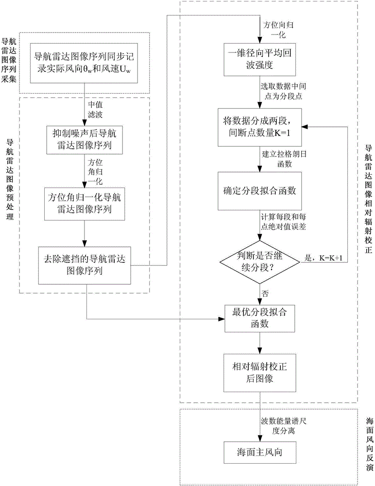
[0151] The specific implementation steps are divided into fifteen steps. The first step is the navigation image sequence acquisition; the second step to the fourth step is the navigation radar image preprocessing; the fifth step to the tenth step is the relative radiation correction of the navigation radar image; the eleventh step From step 1 to step 15, sea surface wind direction information is extracted based on wave number energy spectrum domain scale separation. Specific steps are as follows:
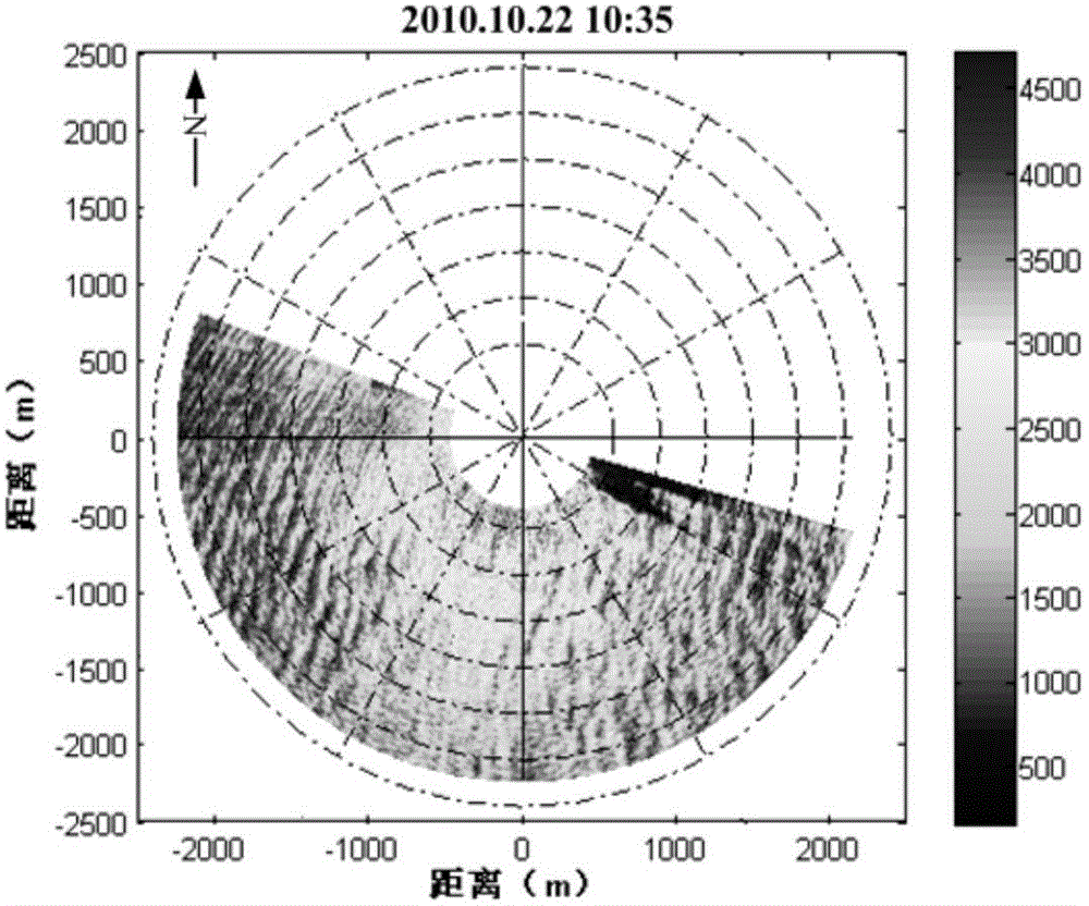
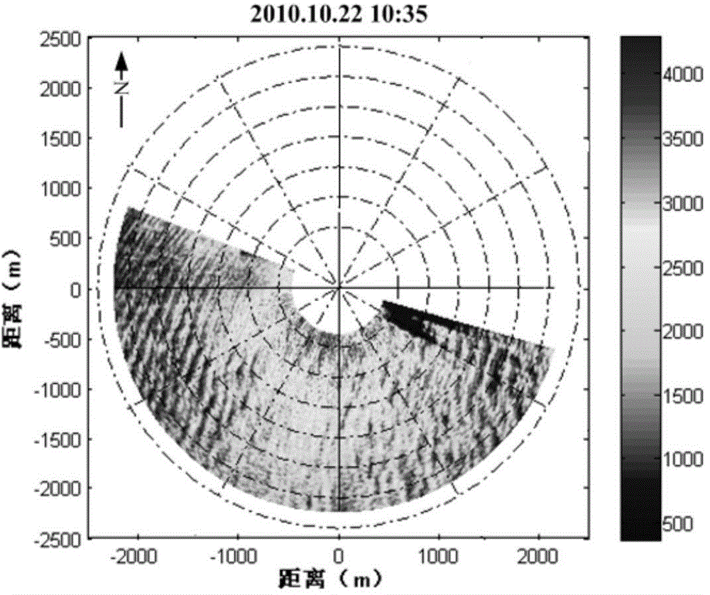
[0152] The first step is to collect 32 navigation radar images with the same position and continuous time, which is defined as a navigation image sequence, and the total length of recording time is T (about 1.5 minutes), and the wind direction θ obtained by the wind vane is simultaneously recorded simultaneously w , the wind speed U measured by the anemometer w . Take the navigation radar image sequence at 10:35 on October 22, 2010 as an example. At this time, the wind direction i...
PUM
 Abstract
Description
Claims
Application Information
 - R&D
- Intellectual Property
- Life Sciences
- Materials
- Tech Scout
- Unparalleled Data Quality
- Higher Quality Content
- 60% Fewer Hallucinations
Browse by: Latest US Patents, China's latest patents, Technical Efficacy Thesaurus, Application Domain, Technology Topic, Popular Technical Reports.
© 2025 PatSnap. All rights reserved.Legal|Privacy policy|Modern Slavery Act Transparency Statement|Sitemap|About US| Contact US: help@patsnap.com


