
GIS (geographic information system)-based quantitative evaluation method of visual landscape influence

A landscape and viewpoint technology, applied in special data processing applications, instruments, electrical digital data processing, etc., can solve the problem of not forming a complete and quantitative evaluation technology method, lack of spatial quantitative analysis research, visual landscape environmental impact assessment work Problems such as a late start, to achieve the effect of strong feasibility, avoiding errors, and easy operation

Inactive Publication Date: 2014-12-24
CHINESE RES ACAD OF ENVIRONMENTAL SCI
View PDF0 Cites 12 Cited by
  • Summary
  • Abstract
  • Description
  • Claims
  • Application Information

AI Technical Summary

Problems solved by technology

[0003] At present, developed countries have carried out a lot of research work on visual landscape evaluation. Compared with foreign countries, my country's visual landscape environmental impact assessment work started relatively late, and the relevant research is mostly concentrated in the fields of urban planning, landscape garden design and road landscape aesthetics. Most of the research content is the exploration of theoretical methods, and the research on spatial quantitative analysis is still lacking; compared with the more mature theoretical and technical methods of environmental impact assessment on water, atmosphere, noise, etc., no complete and quantitative evaluation technical methods have been formed so far.

Method used


Image

  • GIS (geographic information system)-based quantitative evaluation method of visual landscape influence
  • GIS (geographic information system)-based quantitative evaluation method of visual landscape influence
  • GIS (geographic information system)-based quantitative evaluation method of visual landscape influence

Examples


Embodiment Construction

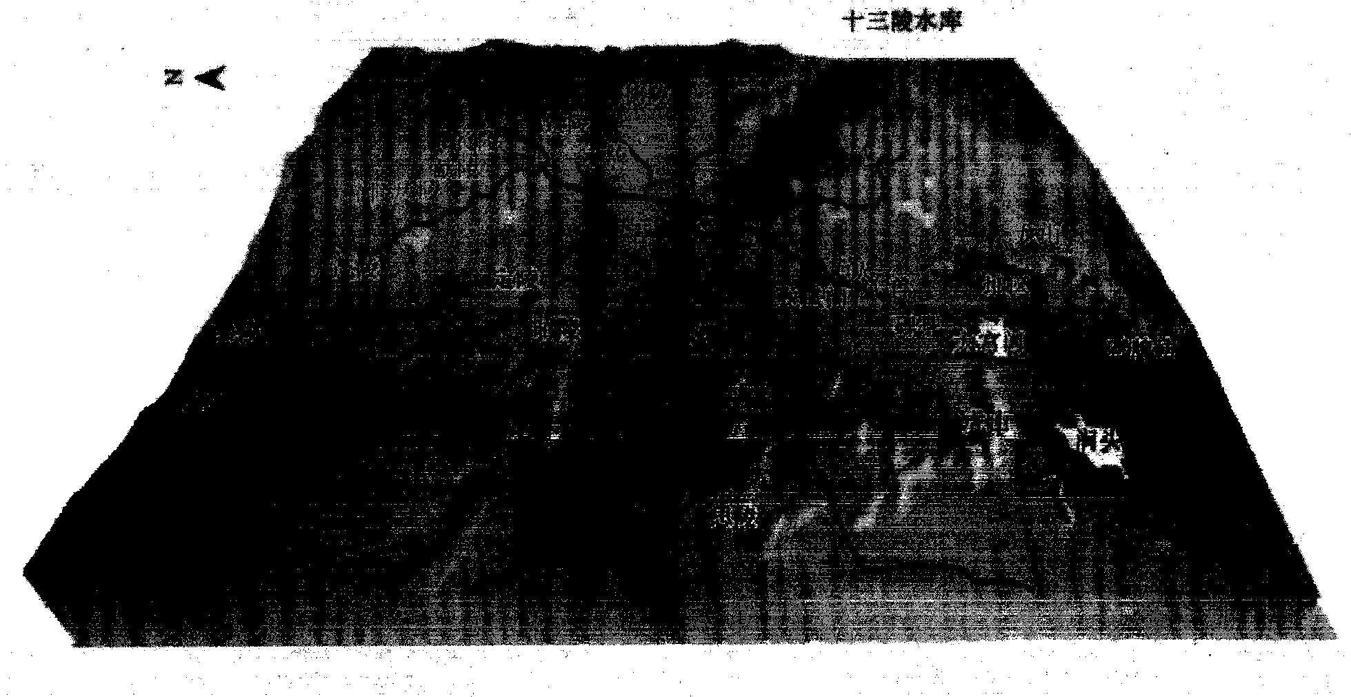
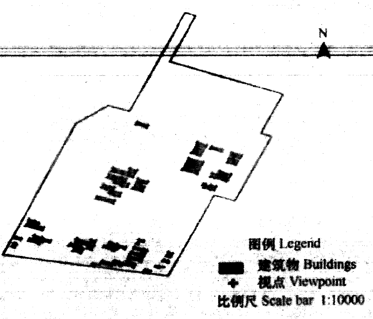
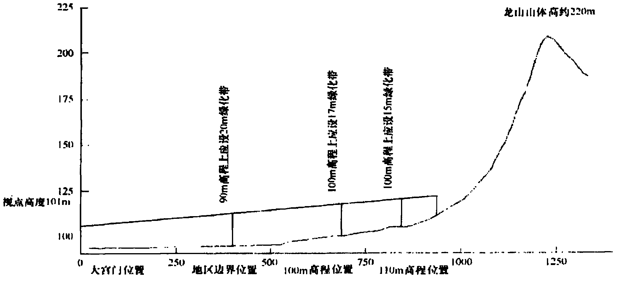
[0026] Visual landscape evaluation area: The Ming Tombs are located at the southern foot of Tianshou Mountain in the northwest suburb of Beijing, with an area of ​​about 40km 2 In the north of the mausoleum area, the main peak of Tianshou Mountain is used as a barrier, surrounded by Dongmang Mountain and Xihuyu on the left and right, and there are Longshan, Hushan and other small tombs corresponding to the south. The direction of the mausoleum area faces south and backs north, and the road into the mausoleum is located at the southern edge of the mausoleum area. There is a huge white marble archway 1km away from the entrance of the mausoleum area, which is the sign of the entrance of the mausoleum area; There are Longshan and Hushan respectively. Longshan (222.5m above sea level) is located on the east side of Dagongmen, and Hushan (236m above sea level) is located on the west side of Dagongmen. The Stele of Divine Merit and Virtue of the Changling Mausoleum of the Ming Dynast...


PUM


Abstract

The invention provides a GIS (geographic information system)-based quantitative evaluation method of visual landscape influence and relates to the fields including landscape ecology, the GIS and urban planning. Based on the GIS, the quantitative evaluation is performed; an effective method to reduce the visual landscape influence is provided to solve the technical problem of determining the maximum ecological land area in the urban development. The technical scheme includes 1, establishing a digital terrain model according to basically topographic data, and generating a three-dimensional display image; 2, selecting sensitive landscape viewpoints; 3, analyzing exposure degree of the viewpoints; 4, analyzing visual distances; and 5, analyzing the influenced sensitive points, evaluating section lines among buildings in a site, and providing a layout plan of shield greening. In this way, the visual landscape environmental influence is evaluated in an objective and quantitative manner, and practicability in building and maintenance of the visual landscape sensitive areas including natural protection areas and historical cultural relics and remains is achieved.

Description

technical field [0001] The invention relates to the fields of landscape ecology, geographic information system (GIS), urban planning, etc., and is an effective method for carrying out quantitative evaluation of visual landscape environmental impact by using GIS as the main means, and obtaining corresponding measures for mitigating visual landscape impact. Background technique [0002] The tense relationship between man and land is one of the worldwide problems that mankind is currently facing. With the rapid development of urbanization and economy, the contradiction between man and land has become more prominent. Some projects that may have adverse effects on visual landscape have to be built in visually sensitive areas such as nature reserves, historical and cultural relics, scenic spots, and forest parks. In or nearby, in order to avoid unnecessary losses and irreparable regrets caused by construction projects to natural, historical, cultural and tourism resources, and to ...

Claims


Application Information

Patent Timeline
IPC IPC(8): G06F19/00
Inventor 张林波王维赵海珍杜加强龚斌张海博徐翠齐月吴志丰张继平
Owner CHINESE RES ACAD OF ENVIRONMENTAL SCI
Learn More