
An osm-based road change detection method for high-resolution remote sensing images

A remote sensing image and change detection technology, applied in image analysis, image enhancement, graphics and image conversion, etc., can solve the problems of road information interference, misjudgment, and inability to accurately obtain road change information, etc., to achieve rich information and current situation Good, low cost effect

Inactive Publication Date: 2019-03-01
WUHAN UNIV
View PDF4 Cites 2 Cited by
  • Summary
  • Abstract
  • Description
  • Claims
  • Application Information

AI Technical Summary

Problems solved by technology

Due to the complexity and interference of road information in high-resolution remote sensing images, the use of conventional change detection methods (such as image difference method, image ratio method) is likely to cause misjudgment, which will not be able to accurately obtain road change information

Method used


Image

  • An osm-based road change detection method for high-resolution remote sensing images
  • An osm-based road change detection method for high-resolution remote sensing images
  • An osm-based road change detection method for high-resolution remote sensing images

Examples


Embodiment

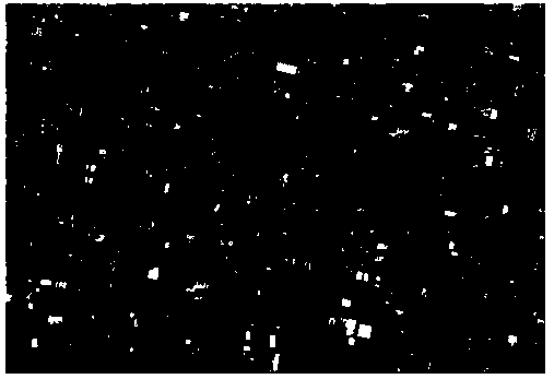
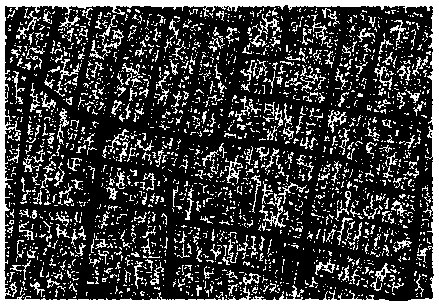
[0106] The original high-resolution remote sensing images used in this example are shown in figure 2, the resolution is 1.5 meters, and the OSM data is obtained from the network.

[0107] (1) Quality evaluation of OSM data.

[0108] The research area is the urban area of ​​Dalian City, Liaoning Province, with a total area of ​​about 12,574 square kilometers, including four administrative areas including Xigang District, Zhongshan District, Shahekou District, Ganjingzi District, and Lushunkou District. There are a total of 1,471 roads with a total length of about 3,466km . In this embodiment, the OSM data comes from the OpenStreetMap website, which is the WGS-84 latitude and longitude coordinate system. The official reference map is the GPS version navigation map produced by Beijing NavInfo in 2011, with a positioning accuracy of about 4m.

[0109] The quality evaluation results of OSM data in this embodiment are shown in Table 1. Adopting the expert voting method, it is co...


PUM


Abstract

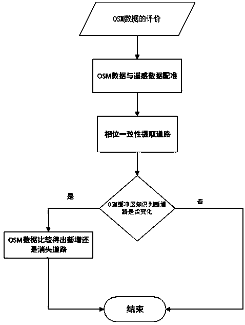
The invention discloses an OSM-based high-resolution remote sensing image road change detection method. The method comprises the following steps: evaluating quality of OSM data by use of length integrity and positioning precision, and applying the OSM data with length integrity greater than a first threshold and positioning precision greater than a second threshold to road change detection, wherein the road change detection comprises the following steps: performing registering on the OSM data with high-resolution remote sensing images; extracting vector roads of high-resolution remote sensing images, i.e., road center lines; and correcting the road center lines by use of affine transformation, and identifying road change through superposing the road center lines and buffer areas of OSM roads. According to the invention, a remote sensing image preprocessing process can be omitted, and road change information can be efficiently and accurately obtained.

Description

technical field [0001] The invention belongs to the technical field of remote sensing image processing and target extraction, and in particular relates to a high-resolution remote sensing image road change detection method based on OSM (OpenStreetMap, public source geographic data). Background technique [0002] Roads are the main target in high-resolution remote sensing images, and road change detection technology is of great significance to GIS data update, target detection and recognition, and image matching. Many scholars at home and abroad have conducted research on road change detection technology, especially in recent years, with the rapid development of my country's economy, my country's road construction has made great progress. At the same time, the integration of urban and rural areas in my country has caused great changes in many areas, and the rapid changes in road information have put forward higher requirements for the update speed of existing map data. How t...

Claims


Application Information

Patent Timeline
Patent Type & Authority Patents(China)
IPC IPC(8): G06T7/10G06T3/00G06T7/33
CPCG06T3/0075G06T2207/10032G06T2207/20036G06T2207/20056G06T2207/20064
Inventor 潘励谈家英赵君
Owner WUHAN UNIV
Learn More