Forest ecological function zoning method through remote sensing technology
A technology of ecological function and remote sensing technology, applied in the direction of instruments, character and pattern recognition, computer components, etc., can solve problems such as single function, lack of simulation, and inability to predict changes in forest ecological functions
- Summary
- Abstract
- Description
- Claims
- Application Information
AI Technical Summary
Problems solved by technology
Method used
Image
Examples
Embodiment 1
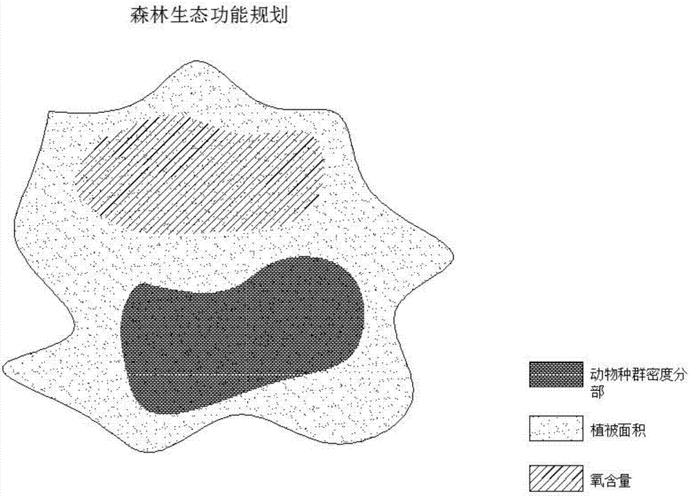
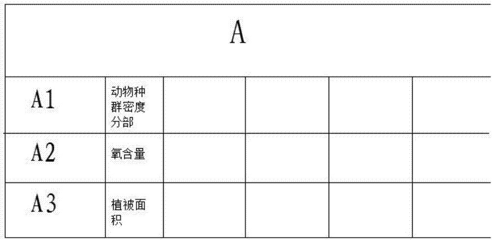
[0023] A method for forest ecological function zoning using remote sensing technology. First, obtain remote sensing image data through satellite or aerial photography, use GIS software to analyze and classify forest ecological resources in the image, and then select a certain area and record the Ecological resources subdivision situation in the area; Establish Excel form A, the subdivision situation of forest ecological resources is recorded in Excel form A, then the data in Excel form A is set up corresponding mathematical model, described mathematical model by Matlab software The model is simulated and the corresponding simulation image is obtained.
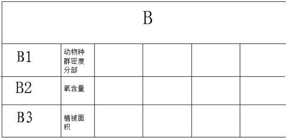
[0024] Specifically, select and obtain a digital image of a forest system in a certain area in the remote sensing image database, if the simulated image needs to be scanned by an image scanner, an Excel form B is established, and the forest ecology is recorded in the Excel form B The real-time detection data of resources, the d...
PUM
 Abstract
Description
Claims
Application Information
 - R&D
- Intellectual Property
- Life Sciences
- Materials
- Tech Scout
- Unparalleled Data Quality
- Higher Quality Content
- 60% Fewer Hallucinations
Browse by: Latest US Patents, China's latest patents, Technical Efficacy Thesaurus, Application Domain, Technology Topic, Popular Technical Reports.
© 2025 PatSnap. All rights reserved.Legal|Privacy policy|Modern Slavery Act Transparency Statement|Sitemap|About US| Contact US: help@patsnap.com


