

SLAM (simultaneous localization and mapping) method combining GPS (global positioning system) and radar odometer
A technology of odometer and GPS data, applied in the field of computer vision, can solve problems such as the inability to realize the construction of a large-scale three-dimensional map of the city and the inability to obtain GPS data
- Summary
- Abstract
- Description
- Claims
- Application Information
AI Technical Summary
Problems solved by technology
Method used
Image

Examples
Embodiment Construction
[0034] The present invention will be further described below.
[0035] A SLAM (simultaneous localization and mapping, simultaneous positioning and mapping) method combining GPS and radar odometer, comprising the following steps:
[0036] 1) Data collection
[0037] Fix the relative position of XW-GI5651 (differential GPS mobile terminal) and VLP-16 LiDAR (a laser radar), output GPRMC data to VLP-16 LiDAR through XW-GI5651, realize the time stamp synchronization of the two on the hardware, and then Data collection;
[0038] Use differential GPS to collect longitude, latitude, altitude, RPY angle (Roll-roll angle, Pitch-pitch angle and Yaw-yaw angle, which represent the attitude of the lidar), timestamp (time of data collection); use lidar LiDAR collects point cloud data and time stamps.
[0039] 2) Process GPS data to obtain displacement (X, Y, Z) and attitude RPY angle
[0040] Process the data returned by GPS to obtain the required displacement and attitude.
[0041] (X,...
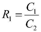
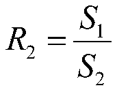
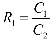
PUM
 Abstract
Description
Claims
Application Information