Multi-pose downlink pedestrian position calculation method based on map information assistance
A map information, multi-pose technology, applied in navigation calculation tools, navigation, navigation and other directions through speed/acceleration measurement, to avoid data feature extraction, improve performance, and reduce the complexity of the algorithm.
- Summary
- Abstract
- Description
- Claims
- Application Information
AI Technical Summary
Problems solved by technology
Method used
Image
Examples
Embodiment Construction
[0063] Preferred embodiments of the present invention will be specifically described below in conjunction with the accompanying drawings, wherein the accompanying drawings constitute a part of the application and are used together with the embodiments of the present invention to explain the principles of the present invention and are not intended to limit the scope of the present invention.
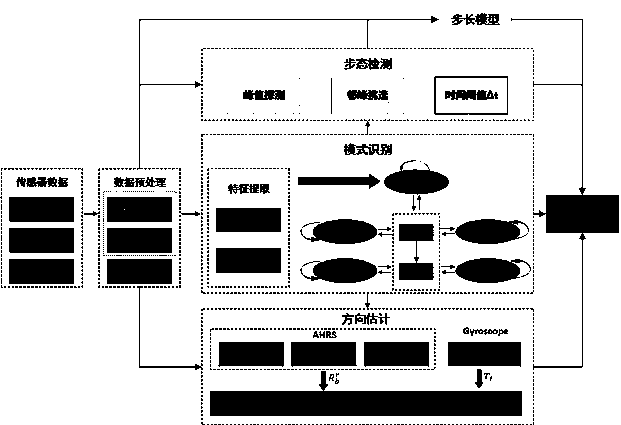
[0064] A specific embodiment of the present invention discloses a multi-attitude downward pedestrian position estimation method based on map information, and the specific process is as follows figure 1 shown, including the following steps:
[0065] A multi-attitude downward pedestrian position estimation method based on map information, comprising the following steps:
[0066] Step S1, data processing.
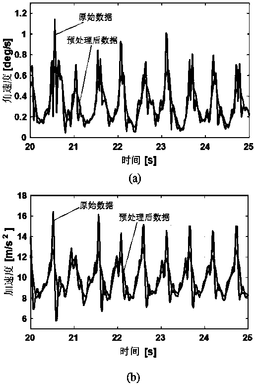
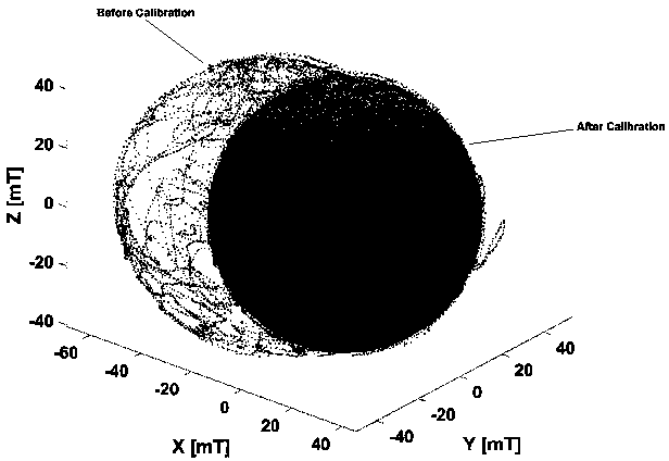
[0067] In addition to the system error caused by its own characteristics, the low-cost sensors embedded in smartphones are also susceptible to environmental interference during use. Th...
PUM
 Abstract
Description
Claims
Application Information
 - R&D
- Intellectual Property
- Life Sciences
- Materials
- Tech Scout
- Unparalleled Data Quality
- Higher Quality Content
- 60% Fewer Hallucinations
Browse by: Latest US Patents, China's latest patents, Technical Efficacy Thesaurus, Application Domain, Technology Topic, Popular Technical Reports.
© 2025 PatSnap. All rights reserved.Legal|Privacy policy|Modern Slavery Act Transparency Statement|Sitemap|About US| Contact US: help@patsnap.com


