Method for early recognition of small watershed geological disaster hidden danger points
A technology for early identification of geological hazards, applied in image data processing, complex mathematical operations, instruments, etc.
- Summary
- Abstract
- Description
- Claims
- Application Information
AI Technical Summary
Problems solved by technology
Method used
Image
Examples
specific Embodiment
[0036] A method for early identification of hidden danger points of geological hazards in small watersheds, comprising the following steps:
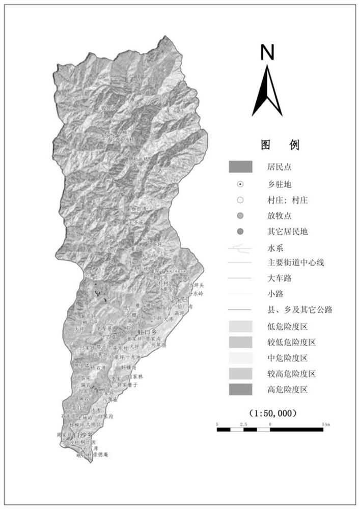
[0037] (1) Statistical analysis of existing surveys and geological data on geological hazards in small watersheds ( figure 1 ), including displacement data at the time of failure, oblique deformation data, rainfall data, position and shape before and after deformation and failure, damage accumulation range, avalanche process, and physical and mechanical parameters of rock and soil mass.
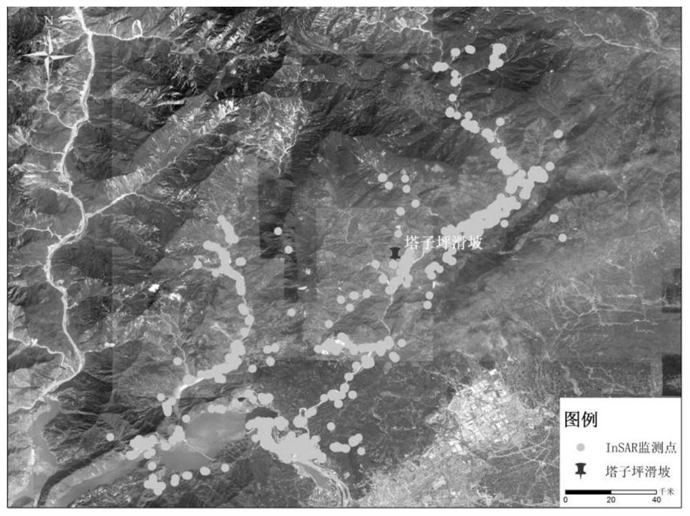
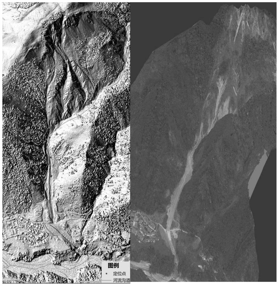
[0038] (2) With the help of high-precision remote sensing, InSAR, LiDAR and other composite high-definition spatial recognition technologies ( figure 2 ), through the laser detection and ranging system installed on the UAV carrier, measure the change process of geological hazards in small watersheds, and obtain high-resolution data images and digital elevation models ( image 3 ), according to the specific data of the spatial distribution of unfavorab...
PUM
 Abstract
Description
Claims
Application Information
 - R&D
- Intellectual Property
- Life Sciences
- Materials
- Tech Scout
- Unparalleled Data Quality
- Higher Quality Content
- 60% Fewer Hallucinations
Browse by: Latest US Patents, China's latest patents, Technical Efficacy Thesaurus, Application Domain, Technology Topic, Popular Technical Reports.
© 2025 PatSnap. All rights reserved.Legal|Privacy policy|Modern Slavery Act Transparency Statement|Sitemap|About US| Contact US: help@patsnap.com


