Remote Sensing Analysis of Forest Disturbances

a remote sensing and forest technology, applied in the field of remote sensing analysis of forest disturbances, can solve the problems of insufficient large-scale selective logging assessment, difficult monitoring of spatial diffuse thinning of large trees, widespread collateral damage to remaining trees,

Active Publication Date: 2009-08-27
CARNEGIE INSTITUTION OF WASHINGTON
View PDF3 Cites 47 Cited by
  • Summary
  • Abstract
  • Description
  • Claims
  • Application Information

AI Technical Summary

Benefits of technology

[0005]The present invention provides systems and methods for automatically analyzing Landsat satellite data of forests. The present invention can easily be used to monitor any type of forest disturbance, such as, but not limited to, logging, agriculture, cattle ranching, natural hazards (fire, wind events, storms), etc.

Problems solved by technology

Unlike deforestation that is readily observed from satellites, selective logging in the Brazilian Amazon causes a spatially diffuse thinning of large trees that is hard to monitor using satellite observations.
Selective logging causes widespread collateral damage to remaining trees, sub-canopy vegetation and soils, with impacts on hydrological processes, erosion, fire, carbon storage, and plant and animal species.
The large uncertainty in this reported area resulted from necessary assumptions of the wood volume harvested per area of forest.
Objective, spatially-explicit reporting on selective logging requires either labor-intensive field surveys in frontier and often violently contested areas, or by remote detection and monitoring approaches.
Moreover, most of the traditional analysis techniques employed for localized selective logging studies have proven insufficient for large-scale selective logging assessments.

Method used


Image

  • Remote Sensing Analysis of Forest Disturbances
  • Remote Sensing Analysis of Forest Disturbances
  • Remote Sensing Analysis of Forest Disturbances

Examples


experimental examples

[0031]The invention is now described with reference to the following examples. These examples are provided for the purpose of illustration only and the invention should in no way be construed as being limited to these examples but rather should be construed to encompass any and all variations which become evident as a result of the teaching provided herein.

[0032]The materials and methods used in the experiments presented in this Example are now described.

Materials and Methods

Processing Methodology

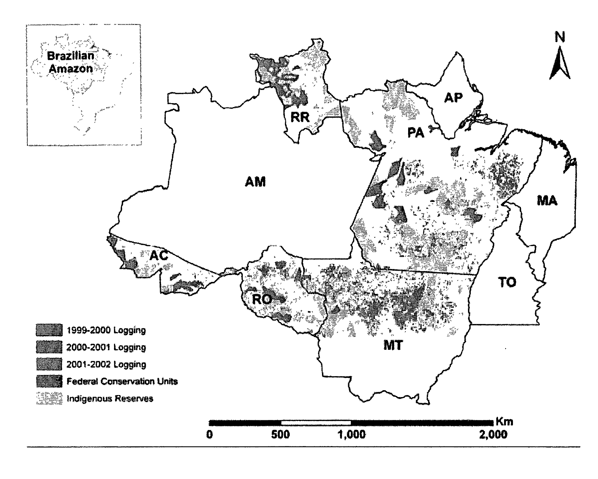
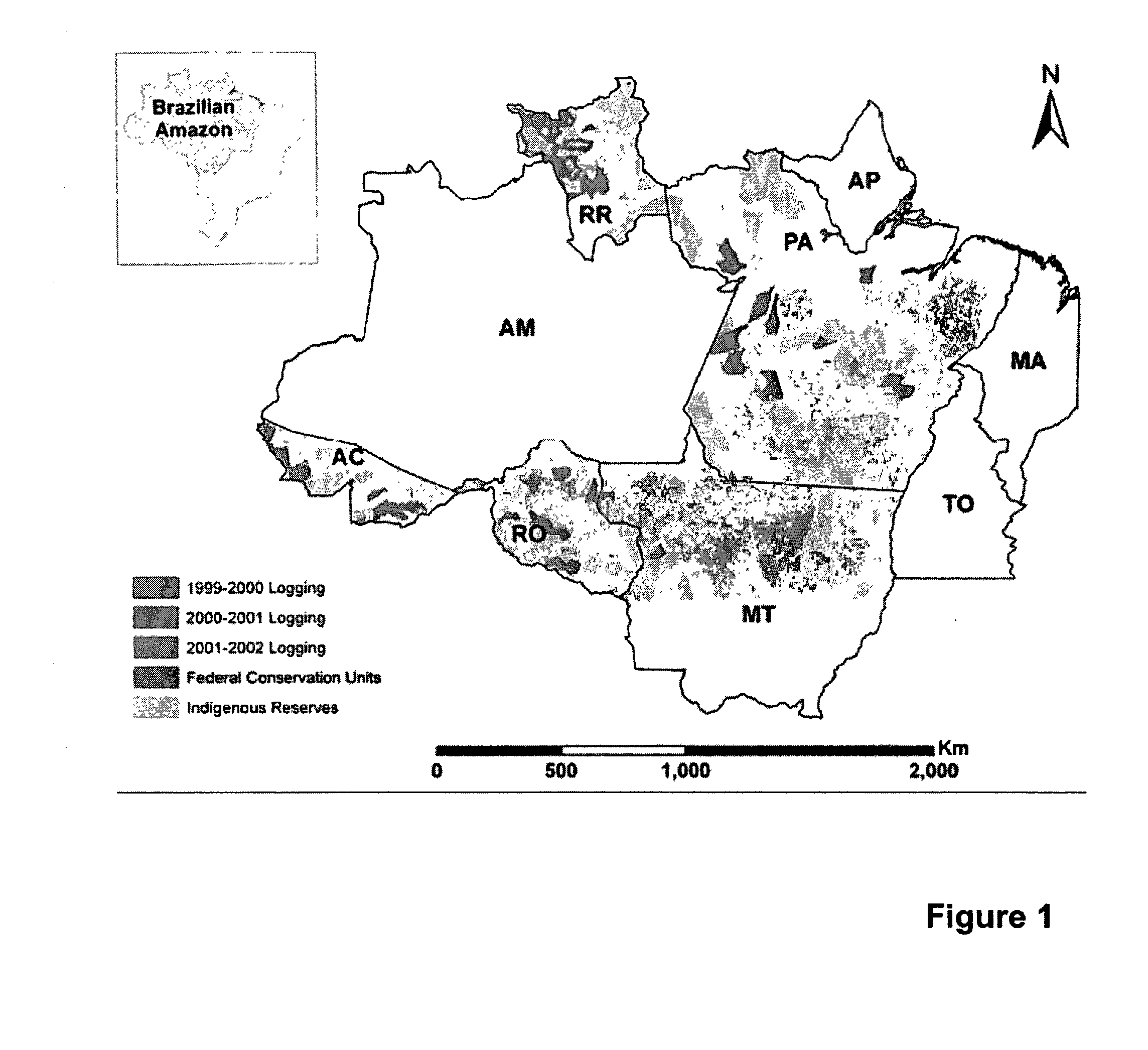
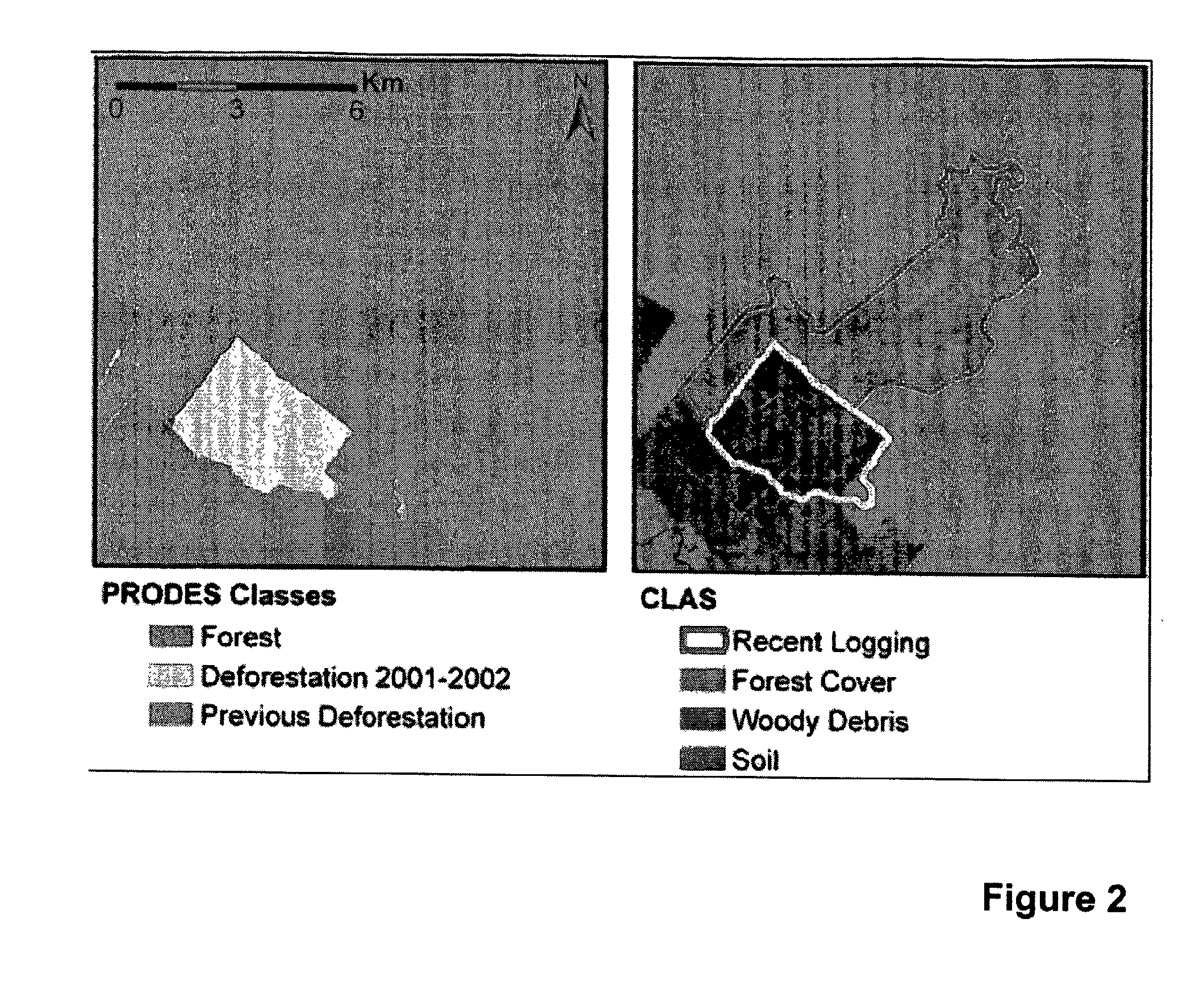
[0033]The Carnegie Landsat Analysis System (CLAS) includes a general purpose computer programmed to use high spatial resolution satellite data for regional and global studies of forest disturbance. The computer system used is a multi-processor Linux system, but other systems can be used. CLAS is an automated processing system that includes: (i) atmospheric correction of satellite data; (ii) deconvolution of spectral signatures into sub-pixel fractional cover of live forest canopy, forest de...


PUM


Abstract

The present invention provides systems and methods to automatically analyze Landsat satellite data of forests. The present invention can easily be used to monitor any type of forest disturbance such as from selective logging, agriculture, cattle ranching, natural hazards (fire, wind events, storms), etc. The present invention provides a large-scale, high-resolution, automated remote sensing analysis of such disturbances.

Description

STATEMENT REGARDING FEDERALLY SPONSORED RESEARCH OR DEVELOPMENT[0001]This invention was supported in part by funds obtained from NASA's Large-Scale Biosphere-Atmosphere Experiment in Amazonia (LBA-ECO), grant number NCC5-675 (LC-21). The U.S. Government may therefore have certain rights in the invention.BACKGROUND OF THE INVENTION[0002]Tropical forests have been threatened by increasing rates of deforestation or clear-cutting during the past three or more decades (E. F. Lambin, H. J. Geist, E. Lepers, Ann. Rev. Environ. Res. 28, 205 (2003)). Although deforestation, largely for conversion of land to food crops or pastures, is the major destructive force in tropical forests worldwide, other forest disturbances such as the selective harvest of timber have increased in frequency and extent (D. C. Nepstad et al., Nature 398, 505 (1999), L. M. Curran et al., Science 303, 1000 (2004)). In selective logging, a limited number of marketable tree species are cut, and logs are transported off-s...

Claims


Application Information

Patent Timeline
Patent Type & Authority Applications(United States)
IPC IPC(8): G06K9/00
CPCG06T7/00G06K9/00657G06V20/188
Inventor ASNER, GREGORY P.
Owner CARNEGIE INSTITUTION OF WASHINGTON
Why Eureka
Try Eureka