Method and system for mass distribution of geographic data for navigation systems
a navigation system and geographic data technology, applied in the field of methods and systems for mass distribution of geographic data for navigation systems, can solve the problems of relatively time-consuming and expensive process of collecting geographic data
- Summary
- Abstract
- Description
- Claims
- Application Information
AI Technical Summary
Benefits of technology
Problems solved by technology
Method used
Image
Examples
Embodiment Construction
A. Exemplary System Architecture
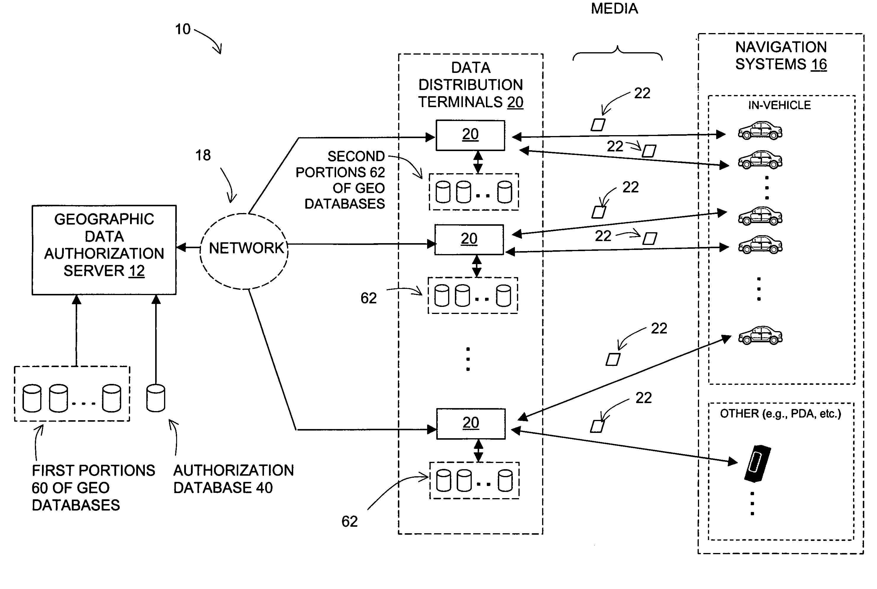
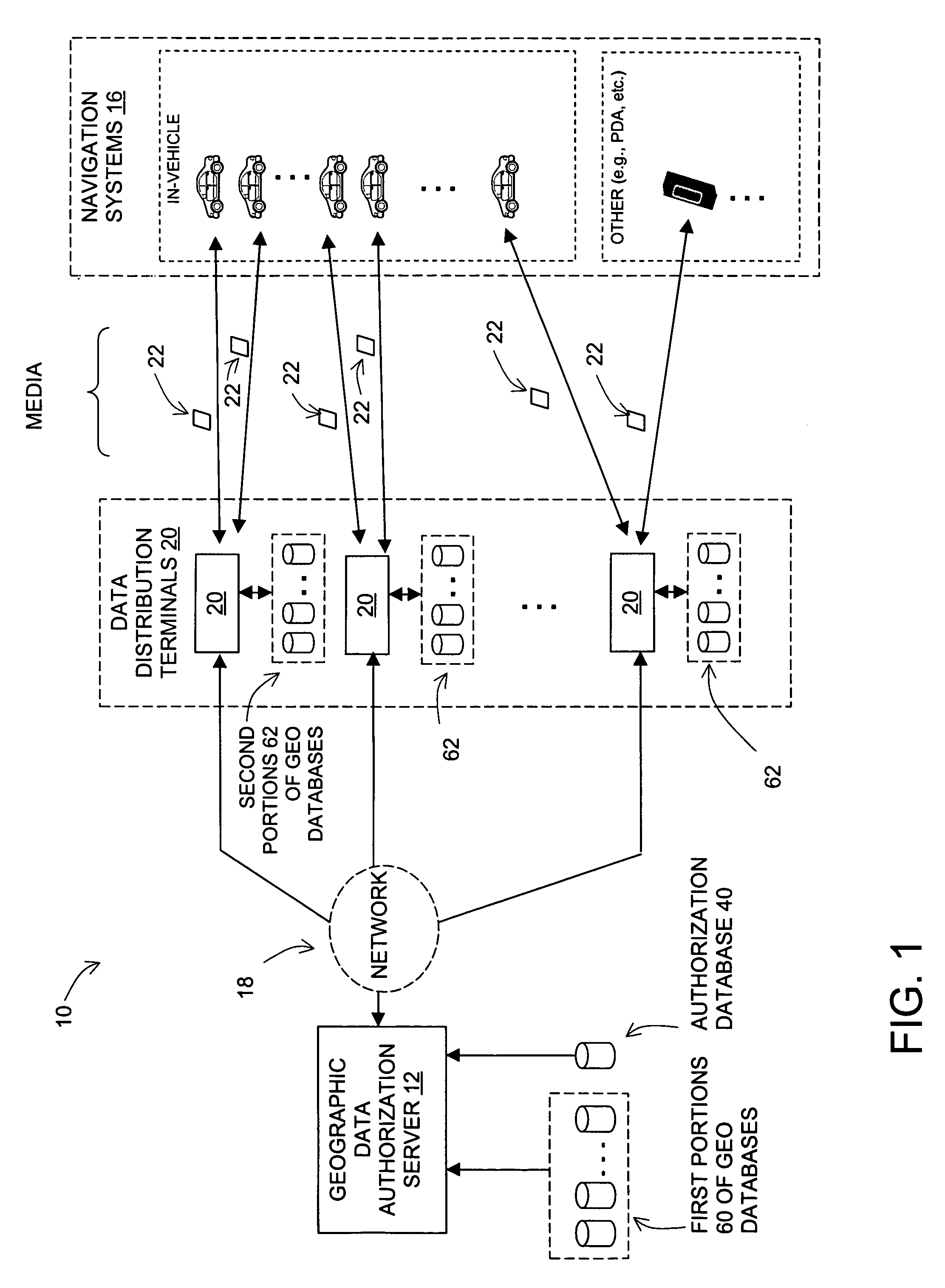
[0037]Referring to the drawings, FIG. 1 is a block diagram illustrating an exemplary system 10 arranged to facilitate distribution of geographic data to one or more navigation systems 16. System 10 includes an authorization server 12 arranged to be connected by a communications link 18 to a plurality of data distribution terminals 20. Each data distribution terminal is then arranged to provide data to a distribution medium 22, which is, in turn, arranged to provide the data to a navigation system 16.
[0038]Communications link 18 can take any of a variety of forms and can include any number of intermediate entities arranged to convey data from one point to another. For example, link 18 can include or take the form of a telecommunications network including wireless communication interfaces (e.g., satellite, radio frequency (RF) cellular, or other interfaces) and / or landline communication interfaces (e.g., the ISDN, cable, fiber, copper, or other interfac...
PUM
 Abstract
Description
Claims
Application Information
 - R&D
- Intellectual Property
- Life Sciences
- Materials
- Tech Scout
- Unparalleled Data Quality
- Higher Quality Content
- 60% Fewer Hallucinations
Browse by: Latest US Patents, China's latest patents, Technical Efficacy Thesaurus, Application Domain, Technology Topic, Popular Technical Reports.
© 2025 PatSnap. All rights reserved.Legal|Privacy policy|Modern Slavery Act Transparency Statement|Sitemap|About US| Contact US: help@patsnap.com


