
Distributed multiple-mobile-node cooperative positioning system

A mobile node and cooperative positioning technology, applied in the information field, can solve problems such as no utilization, no cooperation of robots, memory consumption of distributed algorithms and uncontrollable amount of calculation, etc.

Active Publication Date: 2015-05-27
谢之恒 +1
View PDF3 Cites 16 Cited by
  • Summary
  • Abstract
  • Description
  • Claims
  • Application Information

AI Technical Summary

Problems solved by technology

[0005] At present, there are three technologies for vehicle positioning: 1) GPS; 2) Vehicle cooperative positioning: use the odometer of the vehicle to estimate the moving distance of the vehicle itself at two time points, and use the camera to measure the distance between the two vehicles. Angle and distance, using all these information to form a ranging map, and using Kirchhoff's circuit principle to estimate the position of the vehicle, but there is no uncertainty estimate (ie, no variance matrix), so the accuracy of the vehicle's positioning estimation cannot be estimated; 3) GPS plus vehicle cooperative positioning: use vehicle cooperative positioning, plus GPS timing correction, but there is no uncertainty estimation (that is, no variance matrix), so it is impossible to estimate the accuracy of vehicle positioning estimation
[0006] At present, there are three technologies for the positioning of ocean surface and underwater mobile tools: 1) GPS; 2) Inertial positioning plus timing GPS: when the submarine is working underwater, it completely uses the inertial navigation sensor for independent positioning. To a certain extent, surfaced and corrected with GPS, but when multiple submarines work together, the information of other submarines is not used; 3) Coordinated positioning plus timing GPS, this algorithm needs to save EKF exponentially with the number of submarines growth, so no scalability
[0007] At present, there are two technologies for robot positioning: 1) Simultaneous localization and map construction (SLAM—Simultaneous localization and mapping): use the robot's odometer to estimate its own displacement, and use sensors to estimate the position of surrounding environmental objects, but It can only position itself independently, and there is no cooperation between robots, so all available information is not used, and the amount of calculation is huge; 2) Multi-robot collaborative positioning, using the robot's own odometer to estimate the displacement of two time points , and use the sensor to measure the distance between the two robots, and then use the optimization algorithm to estimate the position of the robot, but the central algorithm has the disadvantage of single node failure and relies on reliable central communication, and the distributed algorithm has memory consumption and The problem of uncontrollable calculation volume

Method used

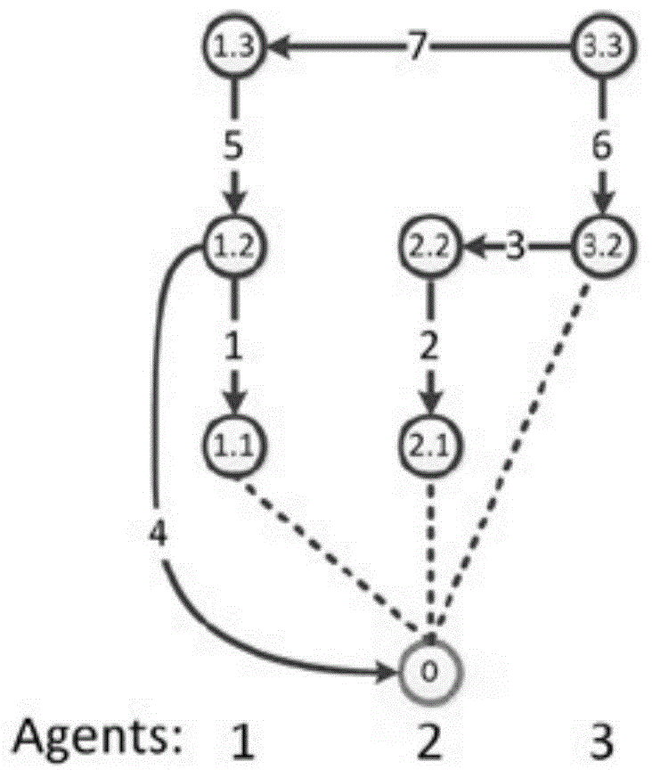
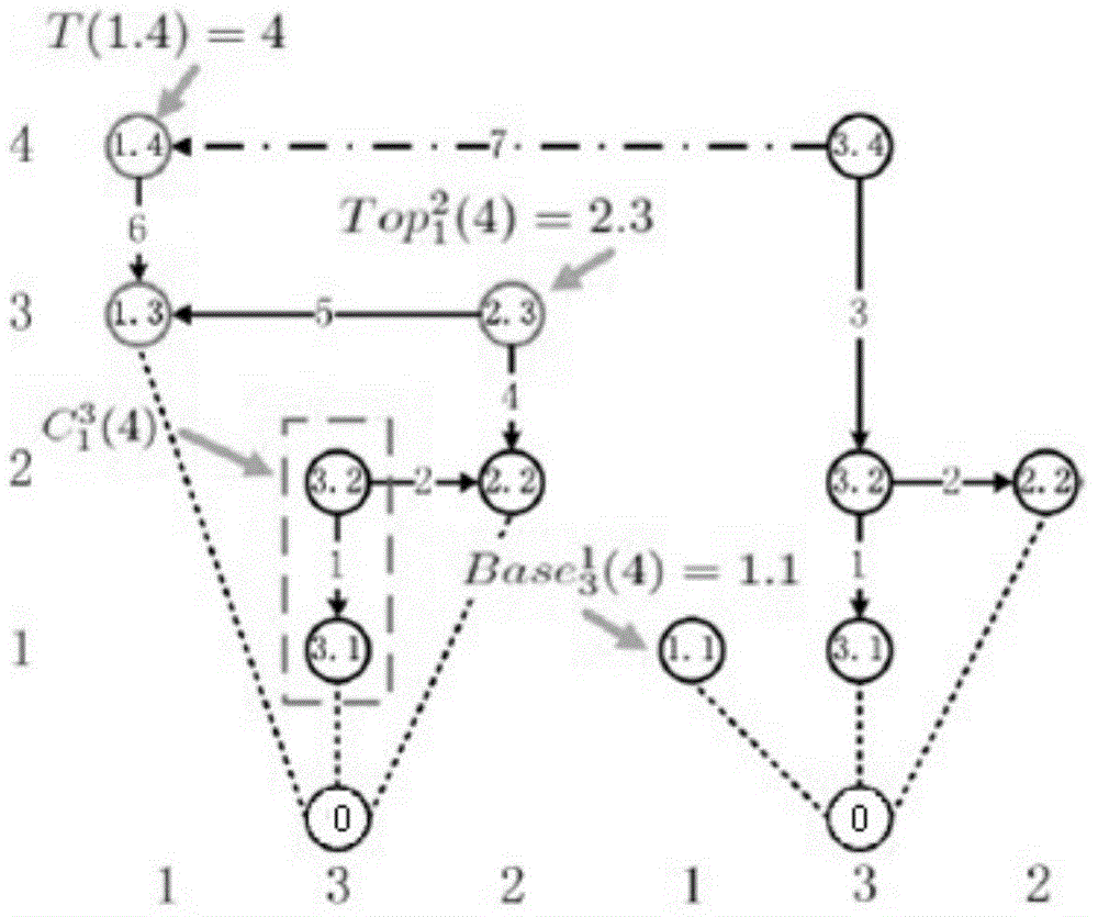
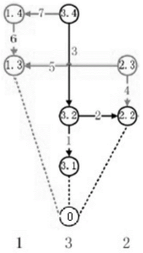

Image

  • Distributed multiple-mobile-node cooperative positioning system
  • Distributed multiple-mobile-node cooperative positioning system
  • Distributed multiple-mobile-node cooperative positioning system

Examples


Embodiment Construction

[0094] The present invention will be further described in detail below in conjunction with the accompanying drawings and specific embodiments.

[0095] The distributed multi-mobile node cooperative positioning system of the present invention includes several mobile nodes, and each mobile node includes the following modules:

[0096] The mobile node's own movement estimation module (DR): monitors the change of the relevant position information of the mobile node itself within two time points through the inertial element, such as displacement change, distance change, angle change, etc. The position information refers to the two time points The coordinate change of the point in the Cartesian coordinate system.

[0097] Inter-mobile node ranging module (IM): used to measure the relative position information of the mobile node and another mobile node at the same time, such as relative position coordinate information, relative position distance information, relative position angle i...


PUM


Abstract

The invention discloses a distributed multiple-mobile-node cooperative positioning system which comprises a plurality of mobile nodes, wherein each mobile node comprises a self-motion estimation module, a self fixed point positioning estimation module, an inter ranging module, a communication module and a positioning and calculation module; the self-motion estimation module is responsible for monitoring the change of location information of the node between two time points; the self fixed point positioning estimation module is responsible for directly measuring the current position of the mobile node through an external positioning system; the inter ranging module is responsible for measuring the position information between the mobile node and another mobile node; the communication module is responsible for communication between the mobile node and the adjacent mobile node; the positioning and calculation module is responsible for combining all the obtained information and calculating the position of the mobile node. The distributed multiple-mobile-node cooperative positioning system has the advantages that the system architecture is generalized, various sensors and positioning instruments can be integrated into the system, the dependence on the scene is very small, the system is distributed, and the calculation complexity and the memory utilization are controllable.

Description

technical field [0001] The invention belongs to the field of information technology, in particular to a distributed multi-mobile node cooperative positioning system. Background technique [0002] Positioning systems are generally used in firefighter positioning (firefighting field), pedestrian positioning (commercial entertainment field), vehicle positioning (traffic field), ocean surface and underwater mobile tool positioning (maritime field), robot positioning (industrial field), animal positioning (field of scientific research). [0003] At present, there are three technologies for firefighter positioning: 1) Multi-fire truck ultra-wideband positioning technology: a large number of fire trucks emit strong ultra-broadband electromagnetic waves at at least three corners of a building on fire, and each firefighter in the building carries a receiver with him , to filter the received signal to estimate the distance to the signal source. In this method, the signal of the fire ...

Claims


Application Information

Patent Timeline
IPC IPC(8): G01S5/02
CPCG01S5/0284
Inventor 谢之恒刘恒昌
Owner 谢之恒
Learn More