

Method for automatically registering mountainous area satellite image to geographical base map
A satellite image and automatic registration technology, which is applied in image data processing, image enhancement, image analysis, etc., can solve the problems of time-consuming control points, large errors, and difficult computer batch processing.
- Summary
- Abstract
- Description
- Claims
- Application Information
AI Technical Summary
Problems solved by technology
Method used
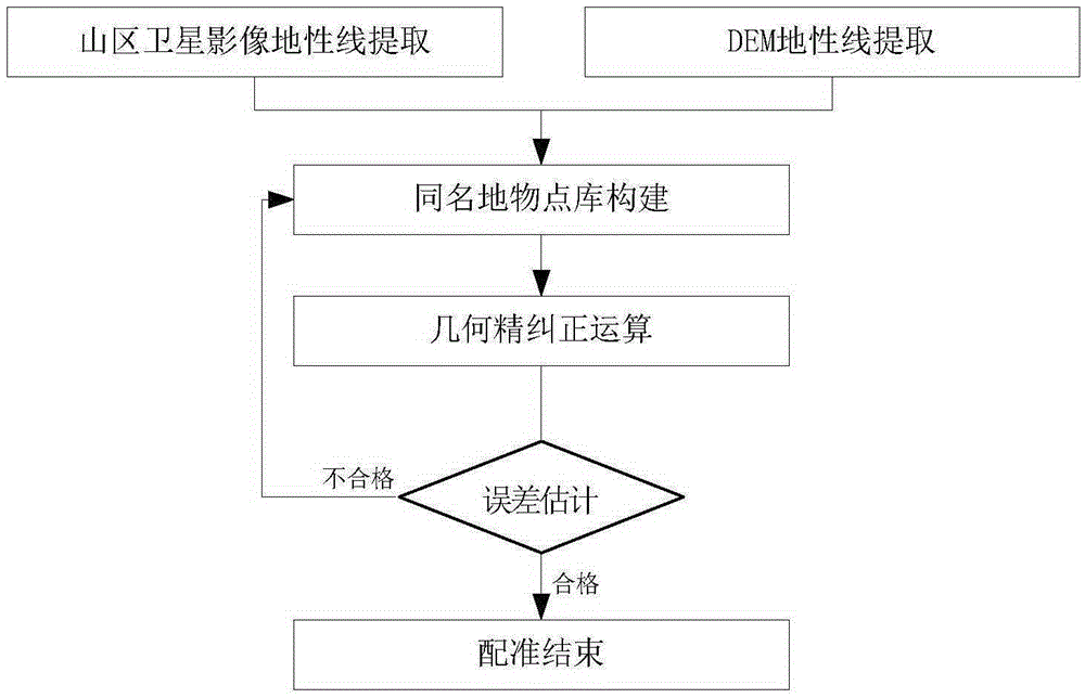
Image

Examples
Embodiment
[0105] The Landsat5TM image acquired on November 18, 2006 is used as the satellite image to be matched. Its satellite stripe number is 130 and its orbit number is 043. It is a data product after system-level correction and processing. The DEM generated from the contour map layer on the 1:50000 topographic map is used as the geographic base map.
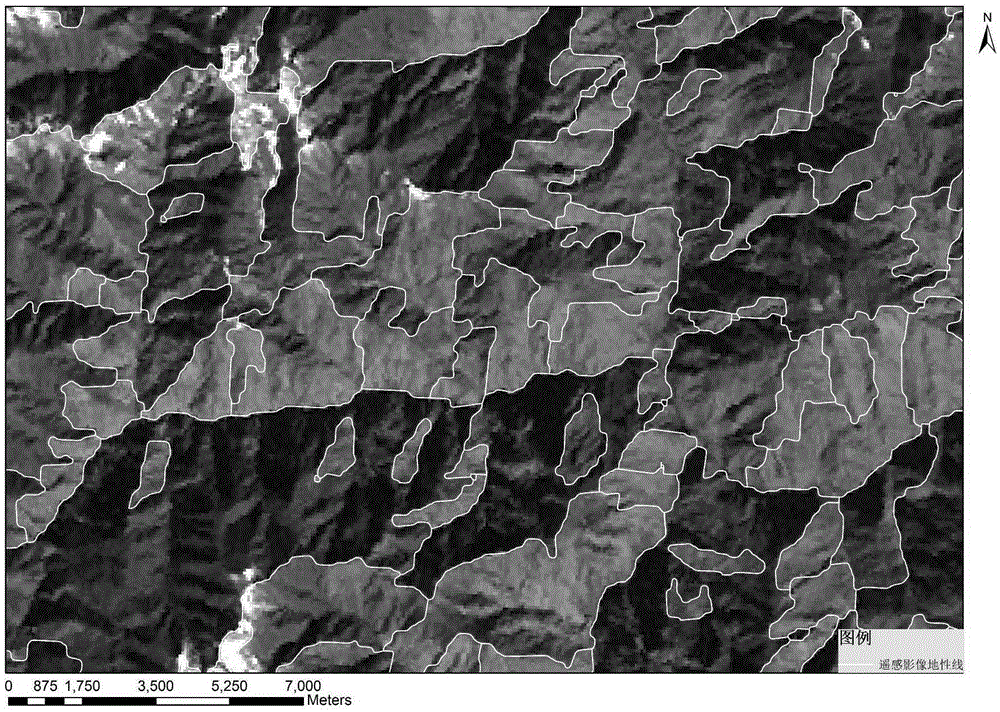
[0106] Take the parameter R=2 and A=1 of the structural element to get the geodetic line IMG_R of the satellite image, and there are 10731 geodetic lines in the remote sensing image, such as image 3 shown.
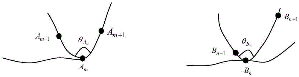
[0107] Predefine the threshold T as 10, extract the DEM ground line IMG_R, and extract a total of 80862 valley lines, such as Figure 4 shown. The space search distance of the feature point with the same name is D_max=500m, the angle of remote sensing image offset geographic base map is φ=[0,90]∪[270,360], the allowable angle δ=15° for the feature point offset of the same name, and the geographical The allowable deviation of t...
PUM
 Abstract
Description
Claims
Application Information