Mobile phone positioning data based urban traffic corridor identification method

A technology of positioning data and urban traffic, applied in the direction of electronic digital data processing, structured data retrieval, geographic information database, etc., can solve the problems of traffic research limitations, limitations, single road corridor identification role, etc., to achieve identification Wide temporal range, cost reduction, and recognition of spatially wide-ranging effects

Active Publication Date: 2016-08-10
SOUTHEAST UNIV
View PDF3 Cites 6 Cited by
  • Summary
  • Abstract
  • Description
  • Claims
  • Application Information

AI Technical Summary

Problems solved by technology

[0003] The existing urban traffic corridor identification method is based on real-time traffic monitoring data and vehicle information data to detect traffic flow, and then identify traffic corridors, which is mainly used in the analysis of traffic flow tid

Method used


Image

  • Mobile phone positioning data based urban traffic corridor identification method
  • Mobile phone positioning data based urban traffic corridor identification method
  • Mobile phone positioning data based urban traffic corridor identification method

Examples


Embodiment Construction

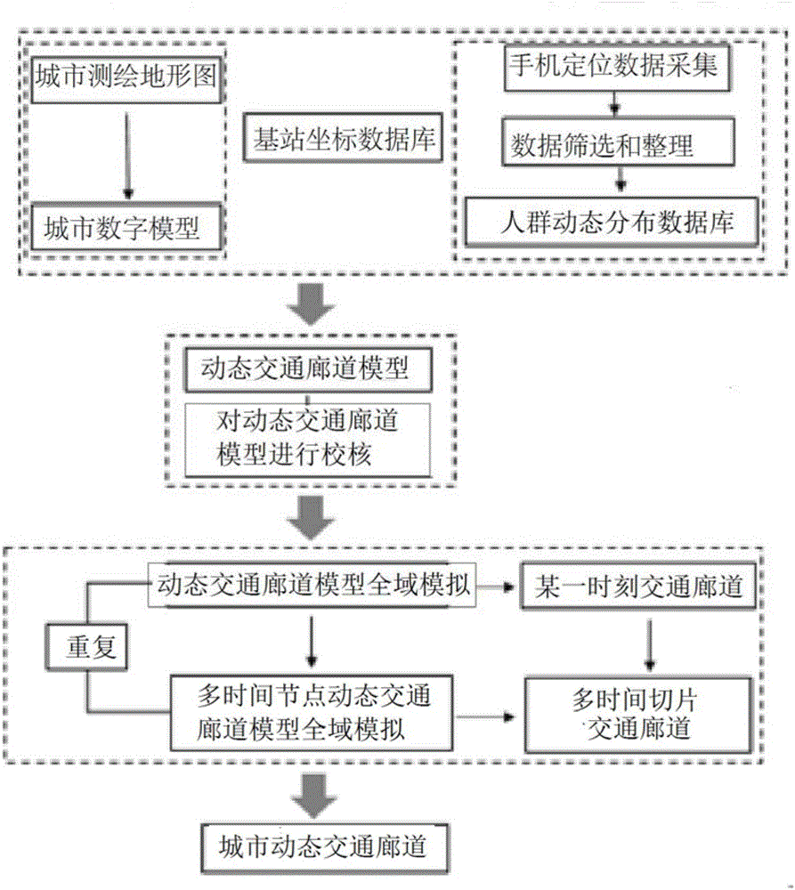
[0019] Further describe the technical scheme of the present invention below in conjunction with accompanying drawing;

[0020] A method for identifying urban traffic corridors based on mobile phone location data, the method comprising the following steps:

[0021] 1) The urban surveying and mapping topographic map and the positioning coordinates of the urban surveying and mapping topographic map are input into the urban modeling system, and the urban digital model is constructed by the urban modeling system.

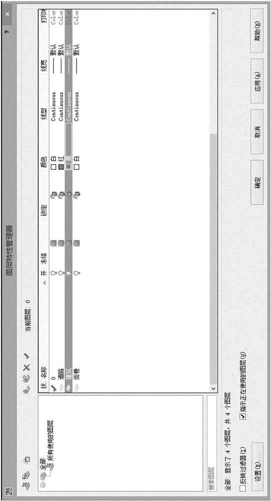
[0022] Specifically, step 1) includes inputting the urban surveying and mapping topographic map into the urban modeling system, the surveying and mapping topographic map includes urban roads, streets, and building vector layered data, and the accuracy is above 1:1000. In the drawing module of the urban digital modeling system, the urban surveying and mapping topographic map information is imported according to the positioning coordinates of the urban surveying and mappin...


PUM


Abstract

The invention discloses a mobile phone positioning data based urban traffic corridor identification method. The method comprises the following steps of constructing an urban digital model; inputting the urban digital model into a calculation module of a geographic information system; acquiring mobile phone signaling and base station coordinate data, and combining the mobile phone signaling and the base station coordinate data with the urban digital model; acquiring urban mobile phone positioning data with time information and importing the urban mobile phone positioning data into a data processing system for data screening and data arrangement to form an urban population dynamic distribution database; combining the urban population dynamic distribution database with the urban digital model to form a dynamic traffic corridor model and performing check and correction; performing global simulation on the dynamic traffic corridor model and identifying urban traffic corridors of all time nodes; and integrating the urban traffic corridors of all the time nodes to form an urban dynamic traffic corridor. Compared with the prior art, the method has the advantages of easiness for obtaining operation data, wide identification time range and wide identification space range.

Description

technical field [0001] The invention belongs to the field of city and traffic planning methods, in particular to a method for identifying urban traffic corridors based on mobile phone positioning data. Background technique [0002] With the development of cities, urban traffic problems such as urban traffic congestion and urban traffic noise pollution have received more and more attention. As an important part of urban traffic, urban traffic corridors have an important impact on the urban traffic system. It is mainly used in: 1. Solve urban traffic congestion, which is the most important traffic problem in the city. Analysis of the identification results of system traffic corridors can help solve the problem of urban traffic corridors; 2. Solve the problem of urban traffic noise pollution. This is one of the main problems of urban traffic, and the analysis of system traffic corridor identification results can help to solve the problem of urban traffic corridors. [0003] T...

Claims


Application Information

Patent Timeline
IPC IPC(8): G06F17/50
CPCG06F16/29G06F30/367
Inventor 杨俊宴方永华
Owner SOUTHEAST UNIV
Why Eureka
Try Eureka