Method of calculating distributed runoff generation in plain area under urbanization
A flow computing and urbanization technology, applied in the computer field, can solve problems that are not well combined with regional remote sensing, rainfall, etc.
- Summary
- Abstract
- Description
- Claims
- Application Information
AI Technical Summary
Problems solved by technology
Method used
Image
Examples
Embodiment 1
[0073] Taking the Suzhou region of the plain water network area in the Taihu Lake Basin as an example, the rainfall data of the typical year 1991 were used to calculate the water yield of each sub-unit of the Suzhou region under the land use conditions in 1991.
[0074] (1) Division of sub-water production units
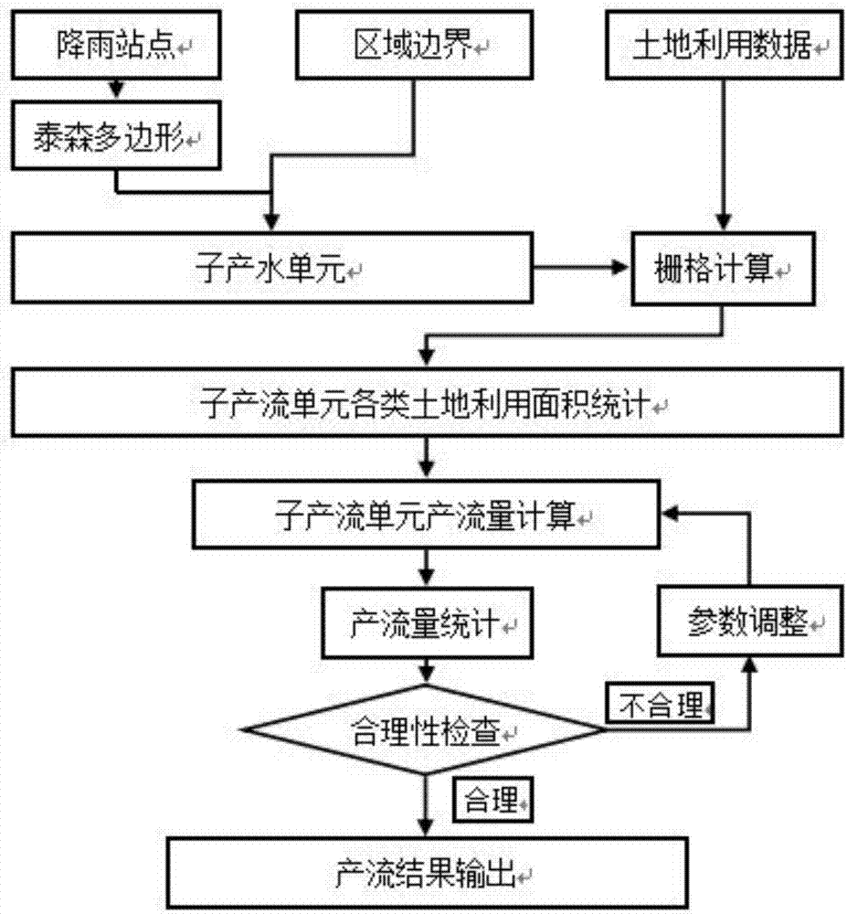
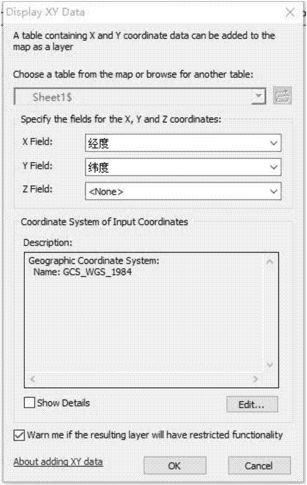
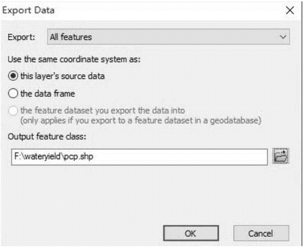
[0075] First, add the coordinate file containing 26 rainfall stations in the Suzhou area to Arcgis, right-click the data table file after adding it, and select Display XY data to generate the Sheet1$Events layer, see figure 2 ; Then, right-click the layer "data" Export Data" to export the file as a shapefile, see image 3 . Create Thiessen polygons of rainfall stations through the ArcGIS 10.3 tool CreatesThiessen polygons, and then superimpose (Identity tool) regional partition boundaries (in this example, Suzhou is taken as an example, and Changshu City, Kunshan City, Taicang City, Zhangjiagang City and Suzhou City are divided into 5 districts Large area), so as ...
PUM
 Abstract
Description
Claims
Application Information
 - R&D
- Intellectual Property
- Life Sciences
- Materials
- Tech Scout
- Unparalleled Data Quality
- Higher Quality Content
- 60% Fewer Hallucinations
Browse by: Latest US Patents, China's latest patents, Technical Efficacy Thesaurus, Application Domain, Technology Topic, Popular Technical Reports.
© 2025 PatSnap. All rights reserved.Legal|Privacy policy|Modern Slavery Act Transparency Statement|Sitemap|About US| Contact US: help@patsnap.com


