
Rock structure surface roughness coefficient refined representation method
A roughness coefficient and structure surface technology, applied in the field of rock engineering, can solve the problems of large data error, difficult to accurately reflect the overall characteristic variability of rock structure surface roughness, etc., and achieve comprehensive and accurate acquisition methods, fast batch calculation, The full effect of the calculation results
- Summary
- Abstract
- Description
- Claims
- Application Information
AI Technical Summary
Problems solved by technology
Method used
Image

Examples
Embodiment Construction
[0038] The implementation of the present invention will be described in detail below in conjunction with the accompanying drawings.
[0039] The refined characterization method of the roughness coefficient of the rock structure surface comprises the following steps:
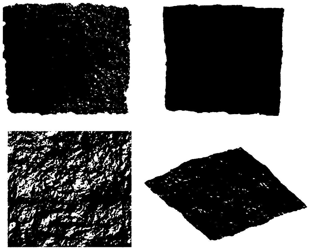
[0040] 1. On the basis of engineering rock structure analysis, use a 3D laser scanner or a 3D structured light scanner to obtain the shape data of the rock structure plane to be measured, and store it as a 3D point cloud data file (stl format);
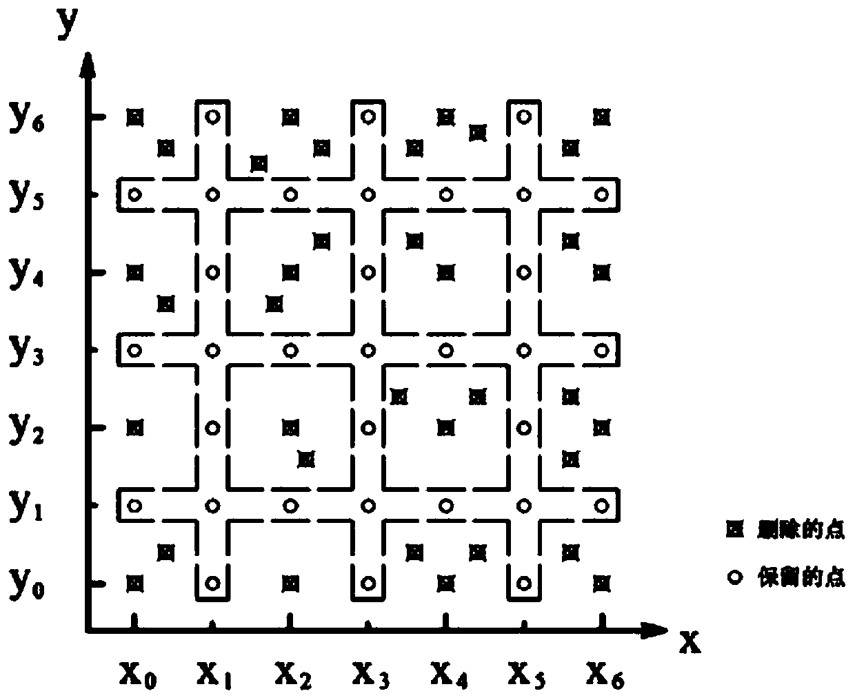
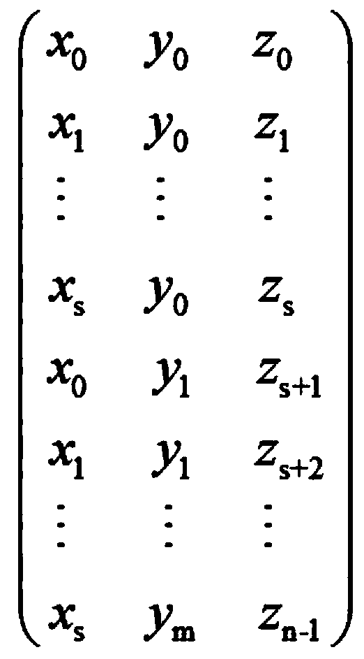
[0041] 2. Preprocessing the obtained 3D point cloud data files of the rock structural surface morphology. Combined with the positioning target points or marks reserved during scanning, the appropriate analysis area is confirmed, and redundant data outside the analysis area is deleted. Adjust the coordinate system of the 3D point cloud data file so that the rock structure plane in the analysis area is parallel to the horizontal plane (X-Y plane), and finally save the pro...
PUM
 Abstract
Description
Claims
Application Information