
Low-orbit satellite autonomous orbit determination and attitude determination method based on non-navigation satellite signals

A technology for autonomous orbit determination and low-orbit satellites, applied in the field of satellite navigation, can solve problems such as the inability to use observation data from ground-based tracking stations, and achieve good response capabilities and ensure accuracy

Active Publication Date: 2020-04-21
WUHAN UNIV
View PDF4 Cites 5 Cited by
  • Summary
  • Abstract
  • Description
  • Claims
  • Application Information

AI Technical Summary

Problems solved by technology

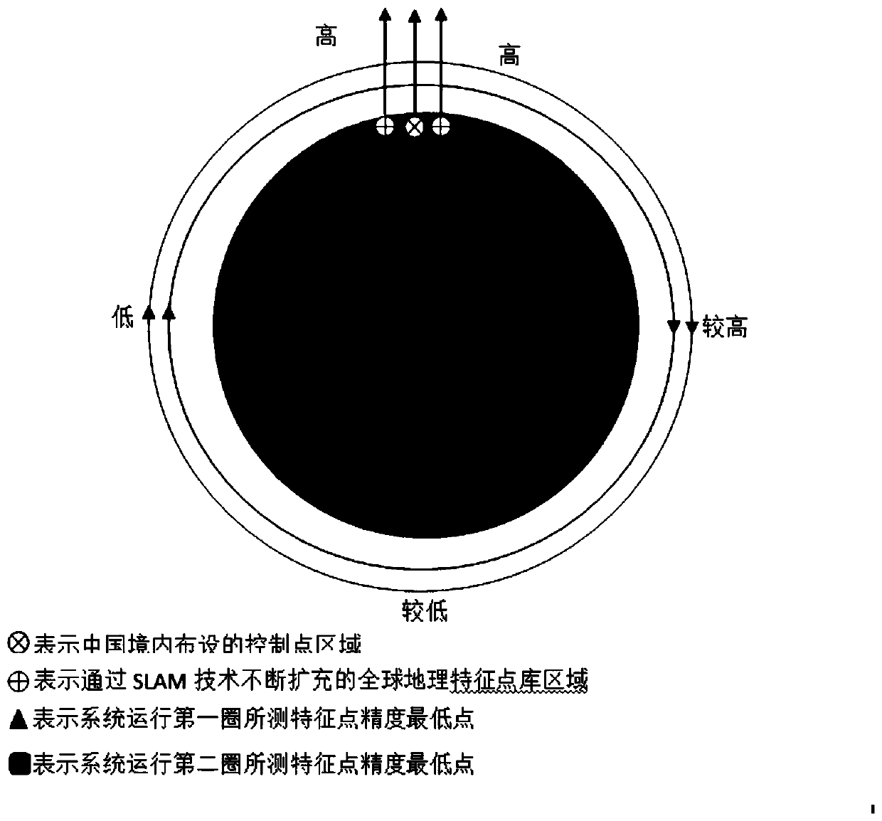
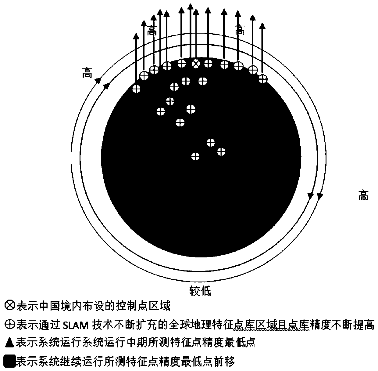
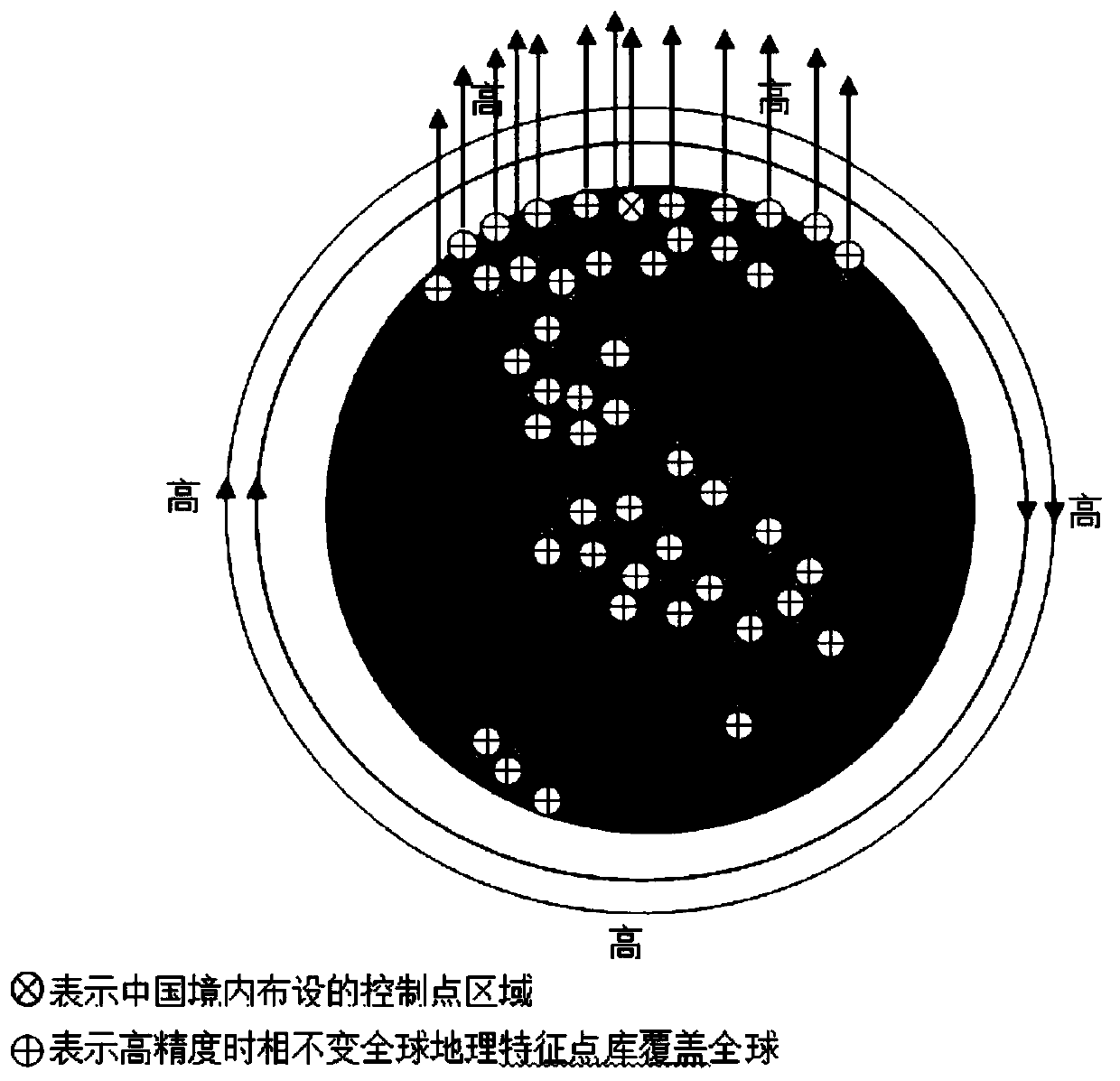
[0006] Aiming at the current low-orbit satellite orbit and attitude determination that relies too much on GNSS satellites and ground monitoring stations and the observation data of ground-based tracking stations that are evenly distributed around the world cannot be used, a method that can reduce the impact of low-orbit satellites on navigation satellites and ground monitoring stations is proposed. It can also meet the needs of low-orbit satellite orbit determination and attitude determination in extraordinary periods such as the failure of GNSS satellites including the Beidou system, and provide redundancy and verification of satellite-borne GNSS and ground monitoring station orbit determination in normal times. At the same time, it can An effective technical method to gradually form and enrich the geographical feature point database distributed around the world

Method used


Image

  • Low-orbit satellite autonomous orbit determination and attitude determination method based on non-navigation satellite signals
  • Low-orbit satellite autonomous orbit determination and attitude determination method based on non-navigation satellite signals
  • Low-orbit satellite autonomous orbit determination and attitude determination method based on non-navigation satellite signals

Examples


Embodiment Construction

[0062] The principles and features of the present invention are described below in conjunction with the accompanying drawings, and the examples given are only used to explain the present invention, and are not intended to limit the scope of the present invention.

[0063] The method of the present invention first lays out a certain number of feature points on the ground, and their geographical coordinates are measured in advance by a certain method, and then these feature point images and their geographical coordinates are stored in the on-board processing center; at the same time, the star distribution is drawn by a certain method The map is stored in the on-board processing center to form the navigation star reference library. The star sensor and remote sensing camera are installed on the low-orbit satellite. The star sensor camera captures the star map and performs star point extraction and star point coordinate calculation, and matches the image points formed by the star wi...


PUM


Abstract

The invention relates to a low-orbit satellite autonomous orbit determination and attitude determination method based on non-navigation satellite signals. The low-orbit satellite autonomous orbit determination and attitude determination method comprises the following steps of: performing multi-sensor integrated on-orbit calibration; adopting a corresponding orbit determination and attitude determination method according to numbers of control points and matching points and whether navigation satellite signals are available or not in the satellite operation period; because the satellite circularly flies around the earth, constructing a global geographic feature point library by means of an existing geographic feature point library and a geographic feature point library which is continuouslyupdated after the SLAM is introduced, continuously updating an original feature point library during satellite operation, and improving the precision of the original feature point library; and finallyrealizing orbit determination and attitude determination based on the non-navigation satellite signal INS / SS / SMNS after the global geographic feature point library is formed. The low-orbit satelliteautonomous orbit determination and attitude determination method avoids the infeasibility of global arrangement of ground control points, and is suitable for normal operation of the orbit determination and attitude determination system under the condition of abnormal navigation satellites in an extraordinary period. Especially, the establishment of the global geographic feature point library can realize INS / SS / SMNS high-precision orbit determination and attitude determination, thereby greatly improving the security of a spatial information network in an extraordinary period.

Description

technical field [0001] The invention relates to the technical field of satellite navigation, in particular to a method for autonomous orbit and attitude determination of low-orbit satellites based on non-navigation satellite signals. Background technique [0002] At present, there are mainly four high-precision low-orbit satellite orbit and attitude determination technologies, including satellite laser ranging technology (Satellite Laser Ranging, SLR), Doppler Earth radio positioning technology (Doppler Orbitography and Radiolocation Integrated Satellite, DORIS), precision Ranging and speed measurement technology (PreciseRange and Range-Rate Equipment, PRARE) and global positioning technology (Global Navigation Satellite System, GNSS). However, SLR is expensive, cumbersome equipment, and due to the limited observation coverage area and severe weather effects, it is difficult to independently perform the precise orbit determination task of low-orbit satellites at an altitude ...

Claims


Application Information

Patent Timeline
IPC IPC(8): G01S19/48
CPCG01S19/48
Inventor 孙红星锁应博陈锐志肖雄武郭丙轩
Owner WUHAN UNIV
Learn More