

Lake eutrophication inversion method based on remote sensing data
A technology of remote sensing data and eutrophication, applied in the field of remote sensing, can solve the problems of remote sensing data processing with low resolution of remote sensors, sensor radiation information is easily interfered by external factors, and algorithm applicability limitations
- Summary
- Abstract
- Description
- Claims
- Application Information
AI Technical Summary
Problems solved by technology
Method used
Image

Examples
Embodiment 1
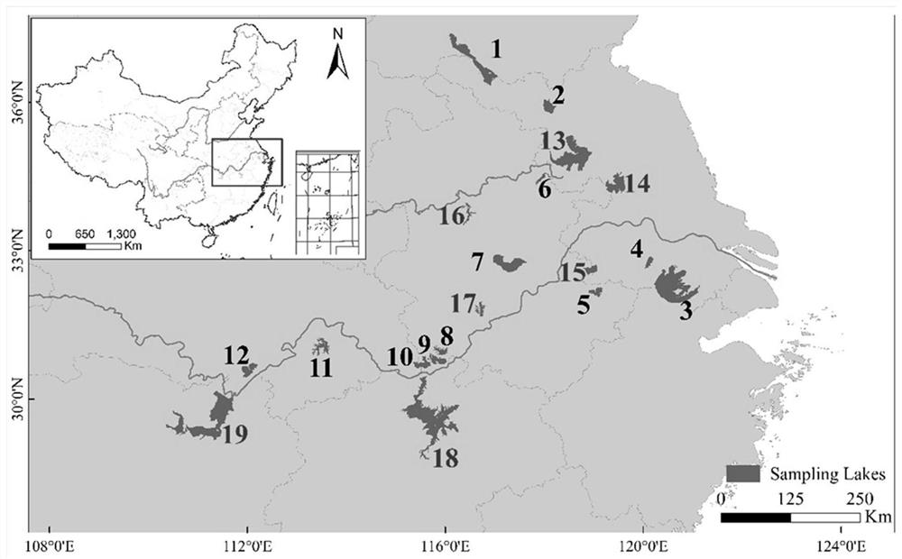
[0096] In this embodiment, 146 lakes in the middle and lower reaches of the Yangtze River and the Huaihe River Basin are taken as examples to further describe the technical solution of the present invention.
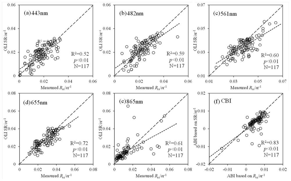
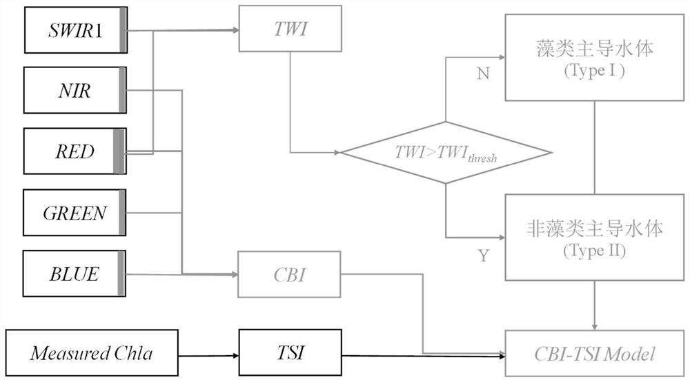
[0097]The method of the present invention is based on the actually measured chlorophyll a data in the research area and the SR data of the synchronous Landsat-8OLI, uses the chlorophyll a data to calculate the TSI at different sampling points, uses the visible light band and the near-infrared band to construct the CBI index, and then constructs a system based on CBI’s TSI eutrophication inversion model (CBI-TSI); later, the algorithm was applied to some lake cases to evaluate its performance; finally, the algorithm was applied to 146 10km 2 On the above lakes, the temporal and spatial distribution characteristics of TSI from 2013 to 2019 were obtained.
[0098] As an exemplary description, the implementation of the aforementioned method will be specifically described bel...
PUM
 Abstract
Description
Claims
Application Information