

InSAR rapid processing method-GHR-InSAR suitable for deformation geological disaster identification
A treatment method and technology for geological disasters, applied in the direction of using re-radiation, radio wave reflection/re-radiation, instruments, etc., can solve the problems of "local" inability to obtain effective observations, lack of large-scale observations, and inapplicability of geological disasters , to achieve the effect of clear principle, brief steps and strong fault tolerance
- Summary
- Abstract
- Description
- Claims
- Application Information
AI Technical Summary
Problems solved by technology
Method used
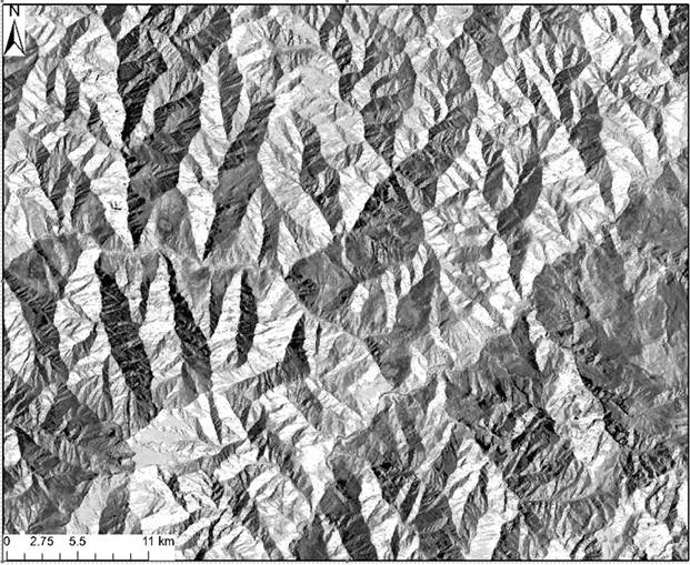
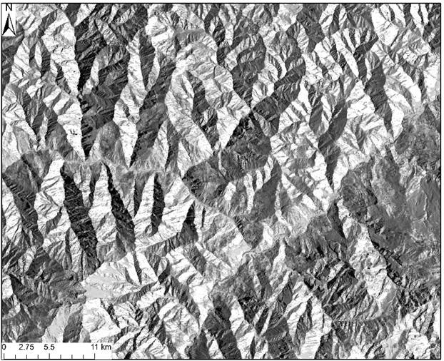
Image

Examples
Embodiment Construction
[0042] In order to make the objects, technical solutions and advantages of the present invention more clearly understood, the following are combined with specific embodiments and with reference to the accompanying drawings. image 3 ~attached Figure 5 , the present invention is further described in detail.
[0043] S1: for all C n 2 After quality checking of the pairwise combined interferometric (DInSAR) image pairs, the spatiotemporal baseline map determined according to the standard of average coherence coefficient ≥ 0.5 is the next DInSAR pair to be used, for example, February 1, 2000 and February 1, 2011 If there is a connection during the day, and the spatial distance of the connection is less than 500 meters, the DInSAR interferometric calculation is required for the two SAR data.
[0044] S2: Solve DInSAR for each scene (eg, 2 / 1 / 2000 and 2 / 1 / 2011) to remove the flat ground phase φ flat , terrain phase φ topo后的 After φ dan Phase result.
[0045] S3: After r...
PUM
 Abstract
Description
Claims
Application Information