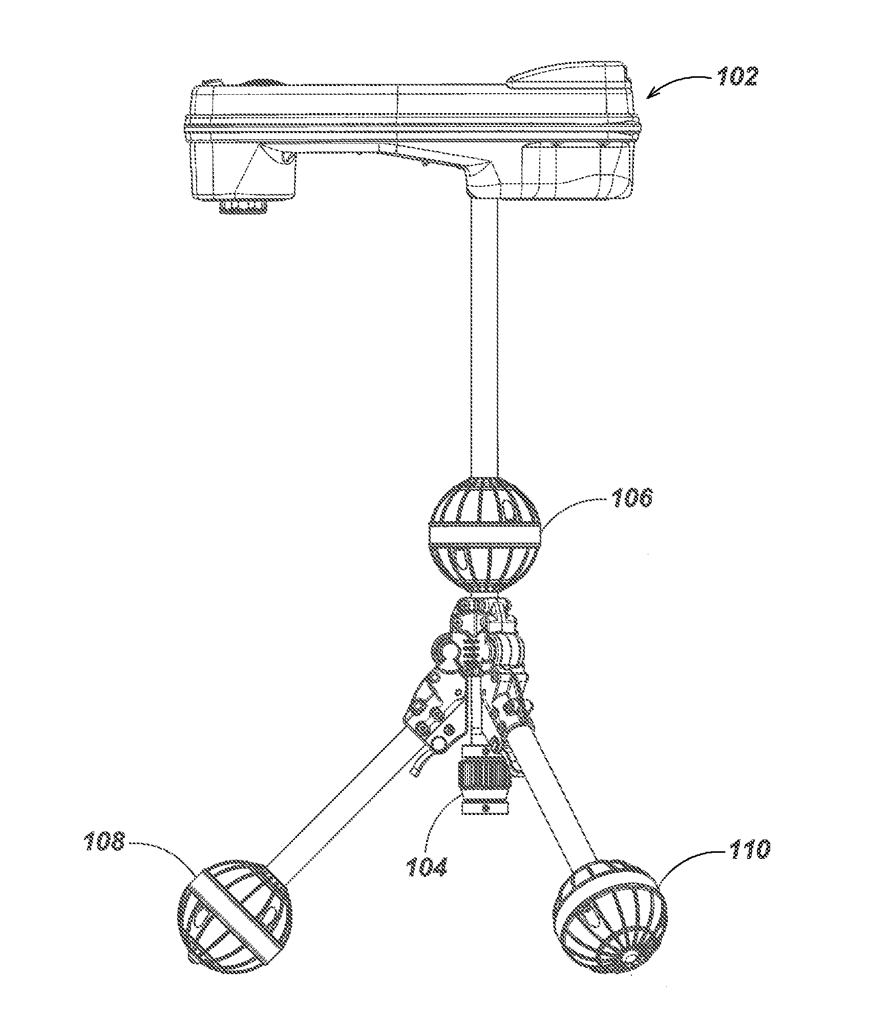
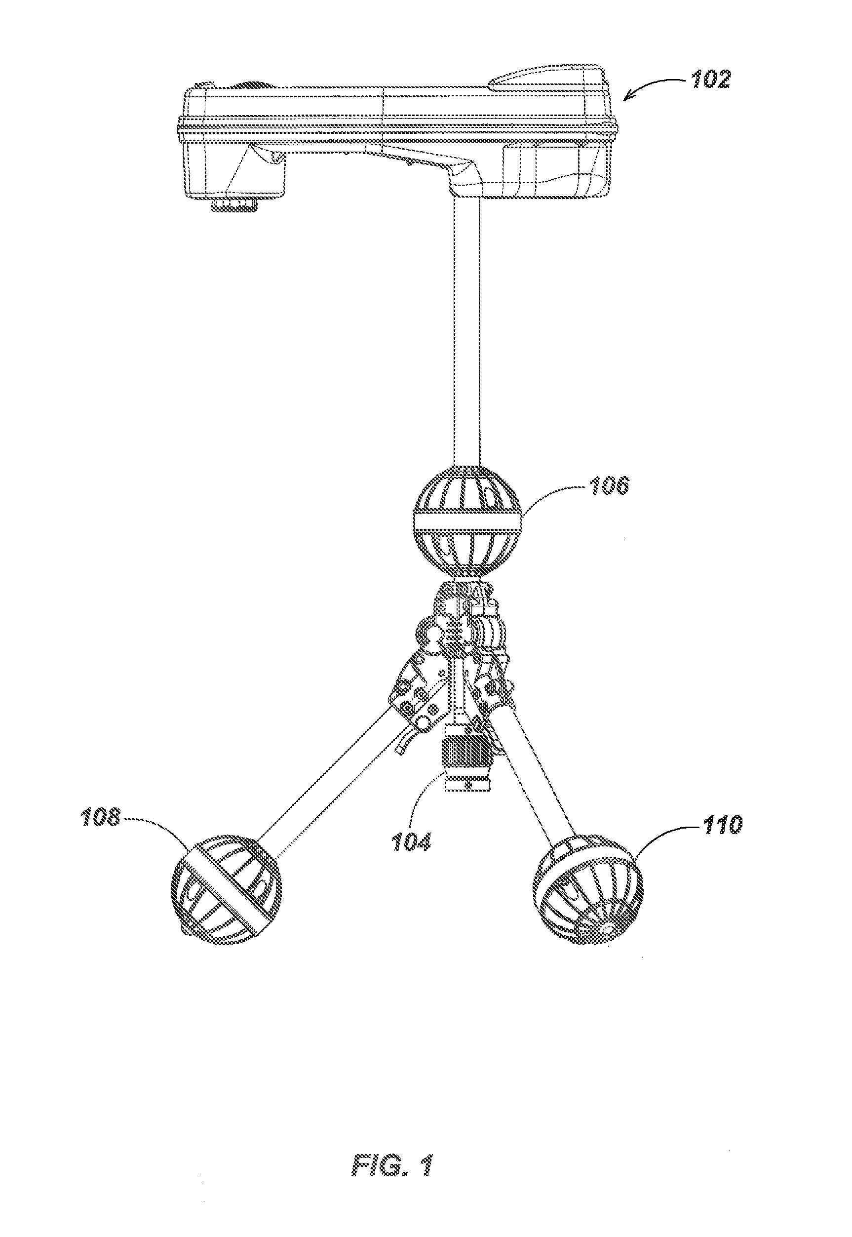
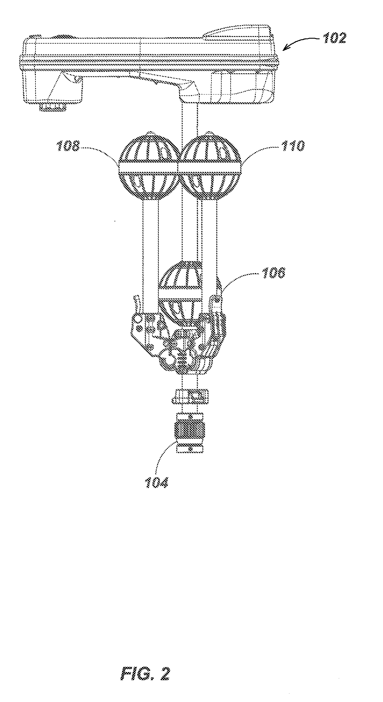
Tri-Pod Buried Locator System
a locator and tripod technology, applied in the field of electromechanical systems, can solve the problems of affecting the comfort and convenience of residents, affecting the affecting the safety of residents, so as to improve the maximum detection range or signal to noise ratio, the effect of reducing interferen
- Summary
- Abstract
- Description
- Claims
- Application Information
AI Technical Summary
Benefits of technology
Problems solved by technology
Method used
Image
Examples
example # 1
Example #1
Locating Utilities in a Road Intersection
[0224]A fixed positional reference dipole beacon is placed at each of four corners of an intersection, each transmitting a separately distinguishable signal that can be located by the self-standing multi-channel locator. These positional reference dipole beacons can themselves consist of one or more transmitting dipoles. Signals are placed by known means (direct connection or inductive coupling) on all known utilities within the region of the intersection to be mapped either using separately distinguishable signals or by attaching signal transmitting means to one utility at a time. Using both active (signals placed by the transmitting means) or passive (signals of opportunity already present) locating techniques elsewhere described, the positions of all detectable utilities are determined relative to the position of the locator at the time of measurement. The position of the locator is determined at the same time relative to one or ...
example # 2
Example #2
Mapping an Existing Structure and Site for Remodel Construction
[0230]A number of high powered very low frequency beacons are placed external to a structure. These beacons incorporate GPS receivers and use some combination of DGPS, WAAS and RTK techniques to improve accuracy. The fact that these are not moving during the course of the structure mapping process aids in improving the positional accuracy of these devices. The positional data from each of these beacons can be transmitted continuously or downloaded later to the self-standing locator or some other data logging station. Some number of optionally lower power beacons, are placed temporarily through out the structure as needed. The self-standing locator is moved from room to room or from area to area, and the hand-pointable laser range meter is then used to map each area. The laser range meter may have controls that designates such measured values as floor, wall, and ceiling to aid automated or manually directed mean...
example # 3
Example #3
Mapping Square Footage of a House for Resale Listing
[0233]Often the square footage of a house is not well known and may change due to new construction. Such measurements are often not accurate and may be biased from the seller's perspective. Either prior to listing or during a home inspection period prior to close of escrow it may be desirable to accurately verify the useable floor area of a structure. If an absolute map is not needed this can be done with a single beacon or even no reference beacon or by using the beacon in the laser range meter itself to determine the positional offset of the self-standing locator when it is moved from room to room.
[0234]Similar to the techniques described in example 2 above, the locator is moved and placed, perhaps on a stand (to reduce distorting magnetic coupling to any nearby objects) in the middle of each room. The hand-pointable, dipole tracked laser range meter is then used to map the room, perhaps only the floor area. Often floor...
PUM
 Abstract
Description
Claims
Application Information
 - R&D
- Intellectual Property
- Life Sciences
- Materials
- Tech Scout
- Unparalleled Data Quality
- Higher Quality Content
- 60% Fewer Hallucinations
Browse by: Latest US Patents, China's latest patents, Technical Efficacy Thesaurus, Application Domain, Technology Topic, Popular Technical Reports.
© 2025 PatSnap. All rights reserved.Legal|Privacy policy|Modern Slavery Act Transparency Statement|Sitemap|About US| Contact US: help@patsnap.com


