System and method for identifying and assessing topographical features using satellite data

a topographical feature and satellite data technology, applied in the field of system and method for identifying and assessing topographical features using satellite data, can solve the problems of depleting this crucial asset, pastoralists are experiencing significant livestock mortality, and traditional methods for locating pastures are increasingly unreliable and resource intensive, so as to reduce herd mortality, accurate and reliable grazing, the effect of long-term development and economic growth

Active Publication Date: 2020-09-03
PROJECT CONCERN INT
View PDF14 Cites 6 Cited by
  • Summary
  • Abstract
  • Description
  • Claims
  • Application Information

AI Technical Summary

Benefits of technology

[0005]Currently, there is no user-friendly system, software, or device that is available to the pastoralists for locating available grazing areas based on satellite data. Existing platforms or models for analyzing Normalized Difference Vegetation Index (NDVI), indicative of “greenness” or vegetative densities of a land as well as surface water from satellite images, are designed for analysis at the policy level and are not localized or tailored for the pastoral audience. Further, traditional systems, methods, or devices do not combine community knowledge of traditional grazing grounds with satellite data to enable accurate, reliable, and easy to use grazing maps for specific groups of pastoralists, especially when such traditional grazing ground may vary for different pastoral villages. Furthermore, no existing system, software, or device enables map delivery and viewing through entry-level mobile devices, for example, a minimum version of android device. Other disadvantages of existing software, devices, or methods include that there is no digital maps available to pastoralists that additionally includes high resolution vegetation, surface water locations, geo-referenced, crowd-sourced hazards, migration distance, topographical information of specific migration routes, or other information, which are also critically important to help the pastoralists make their migration decisions in combination with the vegetation map. Thus, there is an urgent need for accurate, reliable, and easy-to-use methods and systems that can assist pastoralists locate available pasture and other resources for migration throughout the year within their traditional grazing grounds that can span thousands of square kilometers. Such methods and systems are critical for reducing herd mortality especially during drought, and ultimately for the long-term development and economic growth of many countries.
[0006]In some cases, the systems, methods, and media disclosed herein advantageously provide the capability for generating composite cloud-free vegetation maps and/or surface water maps with high resolution spatial (e.g., 10 meters by 10 meters) and/or temporal images (e.g., every 10 days), so that small changes in grazing areas may be detectable and perceivable to pastoral groups for deciding where to take their herds. Another advantage associated with the systems, methods, and media disclosed herein is the combination of community knowledge with digital vegetation and surface water maps. Such community knowledge can be obtained from a broad representation of pastoralists to accurately and reliably reflect the traditional grazing areas applicable to the group. In some cases, such information is further digitized to form a custom composite map with the topographical information derived from satellite data. The digitization of traditional grazing areas with high accuracy and reliability can ensure that the maps accurately cover those areas relevant to the group in question and excludes vegetative information for areas prohibited or outside of what is commonly understood as their traditional grazing area, or in other words, helps to ensure relevancy to the pastoral groups in question, so that the pastoralists are not misled by using the satellite data alone. Further, restricting different pastoral clans to their traditional grazing areas may help maintain and conserve grazing areas from over-grazing or undesired competitions and/or conflict. In some embodiments, the systems, methods, and media disclosed herein provide more affordable solution without the time and cost to print and distribute paper maps. In certain cases, the systems, methods, and media disclosed herein provide much faster access to the vegetation and surface water maps so that pastoralists no longer have to rely on regulatory or government agencies for hand delivery of paper maps to their communities which are slow, time-consuming, inconsistent, and unreliable. In addition to that, the invention disclosed herein can provide a platform to further cr

Problems solved by technology

With climate change over the recent years, seasonal and spatial climate patterns have altered, making traditional methods for locating pasture increasingly unreliable and resource intensive.
As a consequence, pastoralists are experiencing significant rates of livestock mortality that can severely, and sometime entirely, deplete this crucial asset.
Currently, there is no user-friendly system, software, or device that is available to the pastoralists for locating available grazing areas based on satellite data.
Further, traditional systems, methods, or devices do not combine community knowledge of traditional grazing grounds with satellite data to enable accurate, reliable, and easy to use grazing maps for specific groups of pastoralists, especially when such traditional grazing ground may vary for different pastoral villages.
Furthermore, no existing system, software, or device enables map delivery and viewing through entry-level mobile devices, for example, a minimum vers

Method used


Image

  • System and method for identifying and assessing topographical features using satellite data
  • System and method for identifying and assessing topographical features using satellite data
  • System and method for identifying and assessing topographical features using satellite data

Examples


example 1

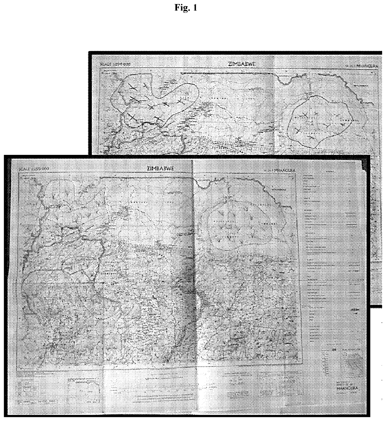
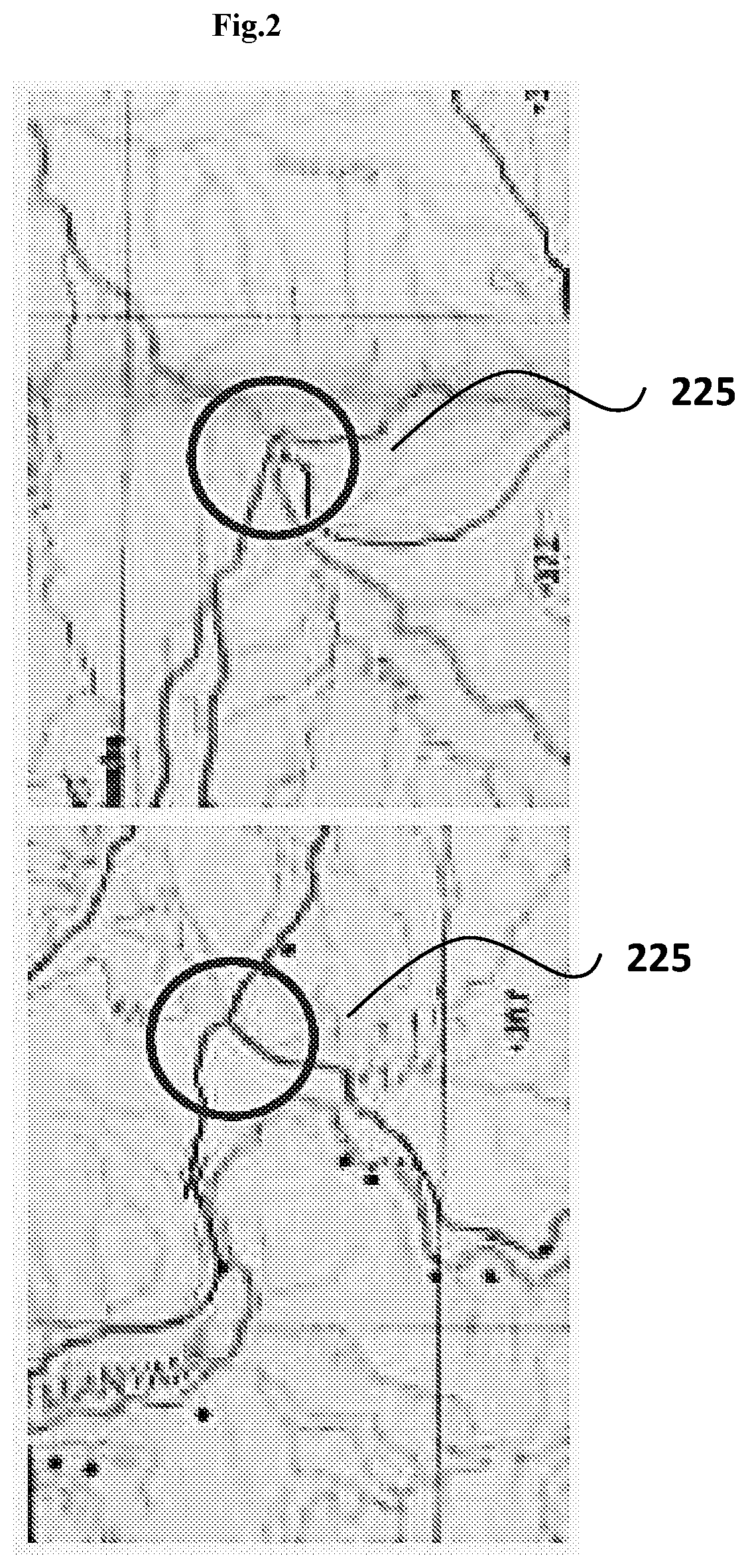
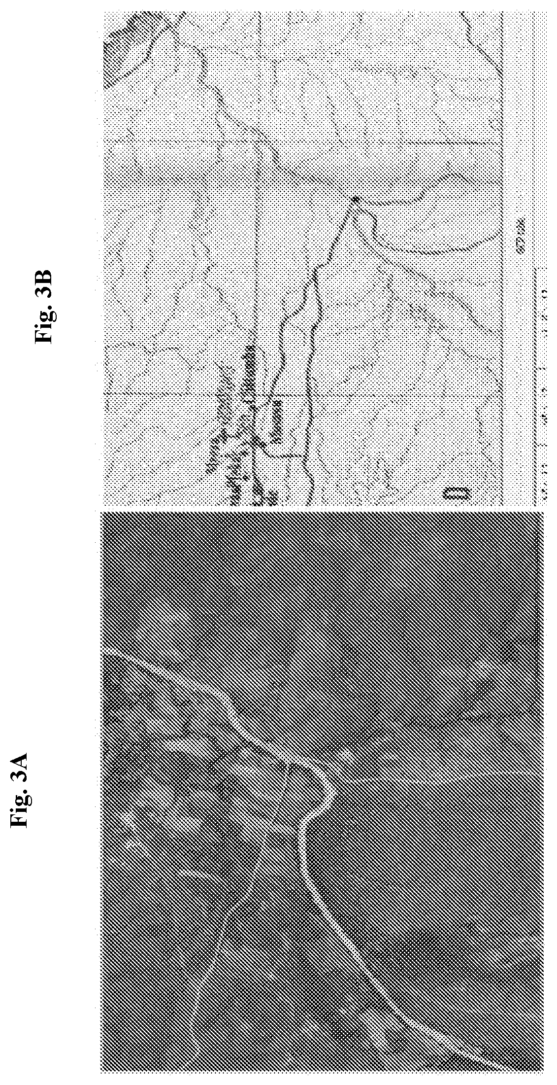
[0164]A first set of 100 satellite images from Meteosat satellites for a pre-determined area in Africa is obtained with low spatial resolution of 3 km by 3 km during a 10 day period. A second set of 5 satellite images from SENTINEL satellite(s) is obtained with high spatial resolution of 10 m by 10 m during the same time period. Both sets of images contain water and vegetation information using different bands of the satellites. Both set of images are processed to select cloud-free pixels. The selected cloud-free pixels from both set of images are used to generate an index array indicative of the vegetation density with a high resolution of 10 m by 10 m. For each pixel of the array, fusion of information from data collected using different satellite(s) is performed. The magnitude from the first set of images is selected. If there is more than one cloud-free pixel during the day time, the average is taken to obtain such magnitude. The spatial distribution of the magnitude is obtained...


PUM


Abstract

Disclosed herein are systems, media, and methods for identifying and assessing topographical features such as vegetation density and surface water using satellite data, comprising: a digital processing device; a database of digital maps, each indicative of grazing area(s); and a computer program to create an application comprising: a software module receiving a first set of satellite data indicative of a first topographical feature of the land; a software module calculating a normalized index array of the first topographic feature for the time period using the first set of satellite data; a software module generating a custom map indicative of density of the first topographical feature; a software module combining the custom map with one of the digital maps to generate a combined map indicative of the density of the first topographical feature within the grazing areas; and a software module allowing a user to visualize or print the combined map.

Description

CROSS-REFERENCE[0001]The present application claims the benefit of U.S. Provisional Application No. 62 / 558,071, filed Sep. 13, 2017, which is entirely incorporated herein by reference.BACKGROUND OF THE INVENTION[0002]Satellite images comprise digital images collected by imaging satellites operated by governments and businesses around the world. These digital images further comprise a plurality of pixels arranged in arrays of rows and columns.[0003]Decisions on where to migrate with herds can mean the difference between survival and devastation for pastoralists. Each year in Africa, more than 200 million pastoralists seek available pasture for their herds, within their traditional grazing areas, using a combination of low technology methods such as indigenous knowledge, scouts, and oral communication.SUMMARY OF THE INVENTION[0004]With climate change over the recent years, seasonal and spatial climate patterns have altered, making traditional methods for locating pasture increasingly ...

Claims


Application Information

Patent Timeline
IPC IPC(8): G06K9/00G01C21/32G06F16/29G09B29/10G06V20/13
CPCG09B29/106G06T2207/30181G06T2207/10032G01C21/32G06F16/29G06K9/0063G06K2009/00644G06V20/13Y02A90/10G06V20/194
Inventor BESSENECKER, CHRISTOPHERWAUGAMAN, JENNIFERHOEFSLOOTE, PETER
Owner PROJECT CONCERN INT
Why Eureka
Try Eureka