Remote sensing analysis of forest disturbances
a remote sensing and forest technology, applied in the field of remote sensing analysis of forest disturbances, can solve the problems of insufficient large-scale selective logging assessment, difficult monitoring of spatial diffuse thinning of large trees, widespread collateral damage to remaining trees,
- Summary
- Abstract
- Description
- Claims
- Application Information
AI Technical Summary
Benefits of technology
Problems solved by technology
Method used
Image
Examples
experimental examples
[0031]The invention is now described with reference to the following examples. These examples are provided for the purpose of illustration only and the invention should in no way be construed as being limited to these examples but rather should be construed to encompass any and all variations which become evident as a result of the teaching provided herein.
[0032]The materials and methods used in the experiments presented in this Example are now described.
Materials and Methods
Processing Methodology
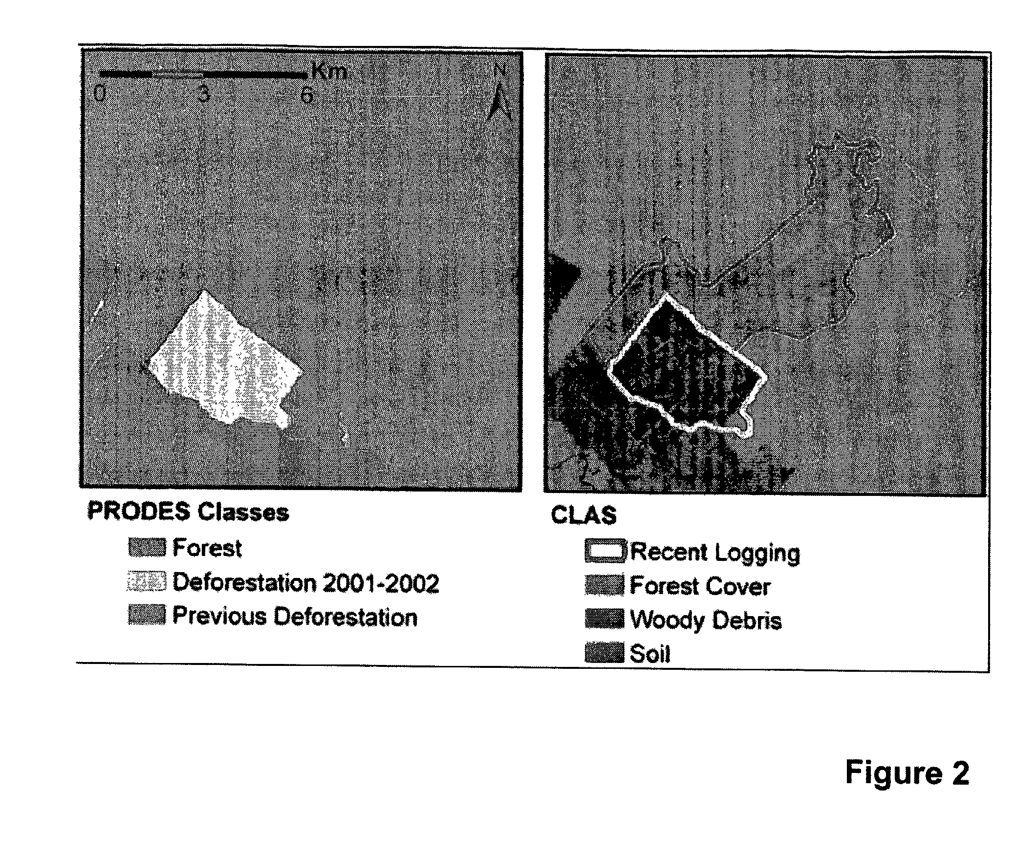
[0033]The Carnegie Landsat Analysis System (CLAS) includes a general purpose computer programmed to use high spatial resolution satellite data for regional and global studies of forest disturbance. The computer system used is a multi-processor Linux system, but other systems can be used. CLAS is an automated processing system that includes: (i) atmospheric correction of satellite data; (ii) deconvolution of spectral signatures into sub-pixel fractional cover of live forest canopy, forest de...
PUM
 Abstract
Description
Claims
Application Information
 - R&D
- Intellectual Property
- Life Sciences
- Materials
- Tech Scout
- Unparalleled Data Quality
- Higher Quality Content
- 60% Fewer Hallucinations
Browse by: Latest US Patents, China's latest patents, Technical Efficacy Thesaurus, Application Domain, Technology Topic, Popular Technical Reports.
© 2025 PatSnap. All rights reserved.Legal|Privacy policy|Modern Slavery Act Transparency Statement|Sitemap|About US| Contact US: help@patsnap.com


