Stone mosaic map, method for manufacturing same and method for mounting same
A map and stone technology, applied in the direction of maps/plans/charts, instruments, educational appliances, etc., can solve the problems of limited size, limited use places and installation methods, insufficient map practicability, etc., to achieve convenient transportation and accurate boundary lines Clear, smooth cut results
- Summary
- Abstract
- Description
- Claims
- Application Information
AI Technical Summary
Problems solved by technology
Method used
Image
Examples
Embodiment 1
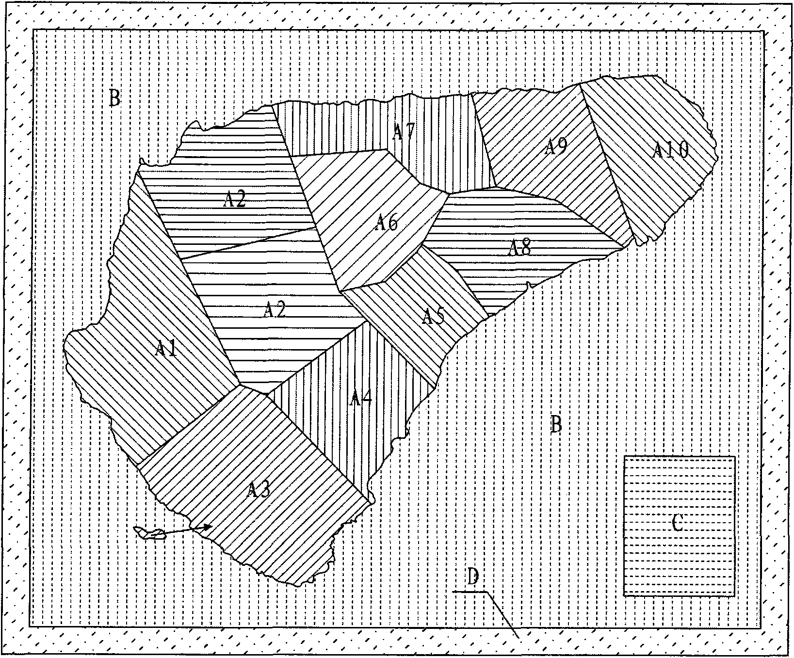
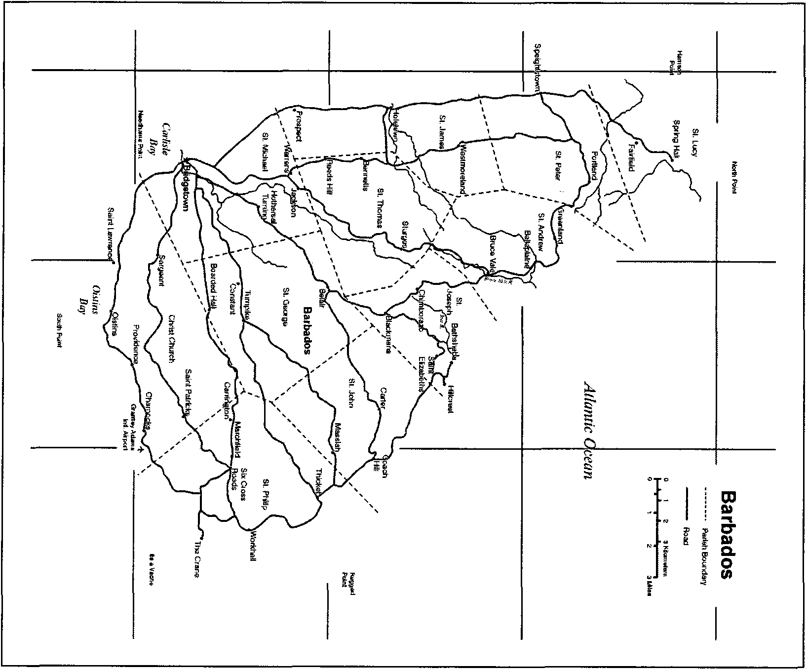
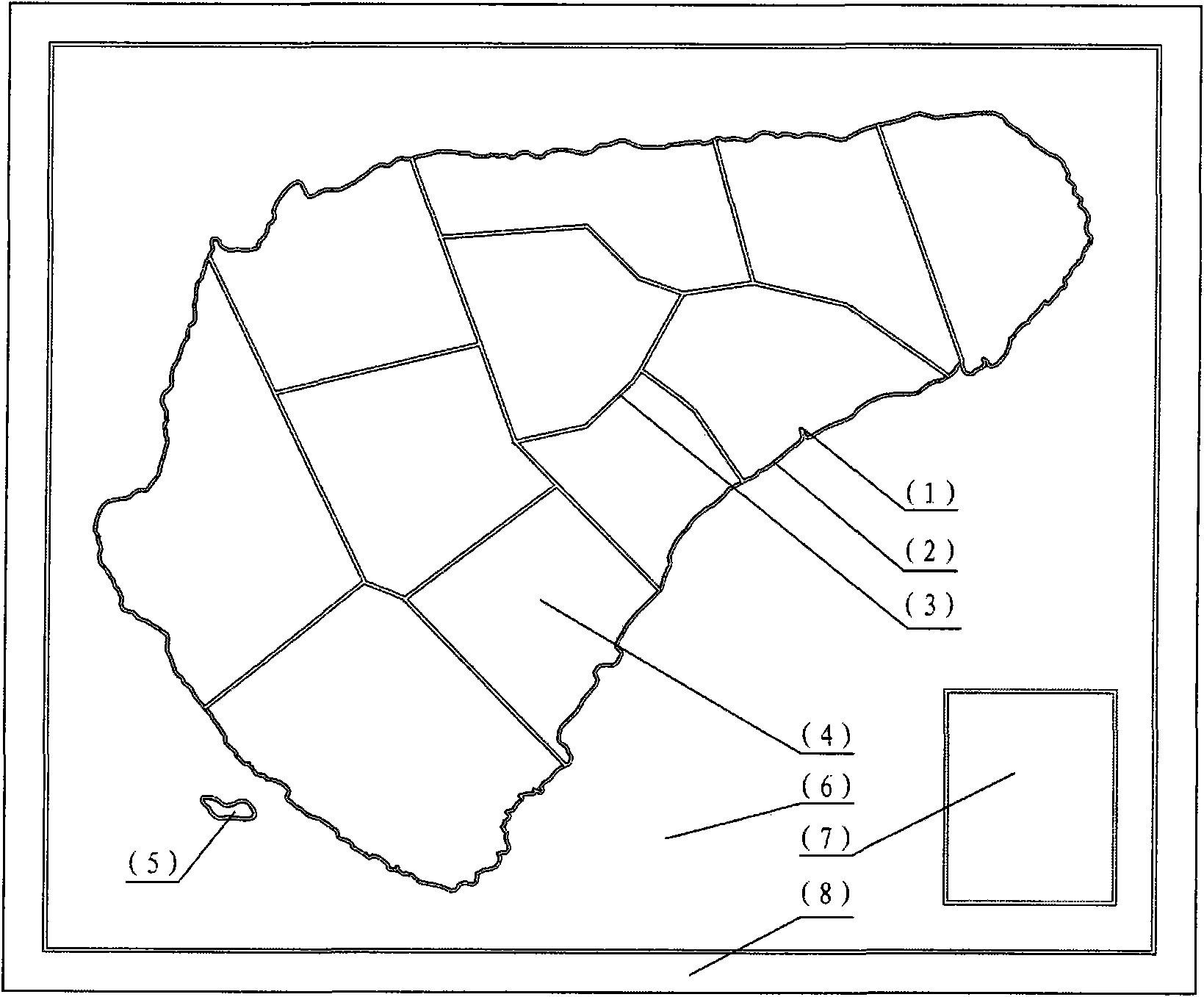
[0045] The map area is shown as figure 1 The bottom plate of the middle map consists of land areas A1-A10, ocean area B, legend area C and frame area D, of which land area A2 consists of two parts, figure 2 In the middle are various map symbols on the map base plate, image 3 The middle is the shape and position of each map plate, wherein the land area A3 is composed of 1 continental plate (4) and 1 island plate (5). The map plates in different adjacent map areas are made of natural stone or artificial stone with different textures or colors, and the edges of each map plate are smooth. Figure 4 is each map section by image 3 The rendering of the base plate of the map composed of the positions shown glued to each other. The splicing lines between adjacent land plates in the figure constitute the accurate boundary line of the land area on the map. Figure 5 It is the effect diagram of embodiment 1, which is in the shape of a flat plate with uniform thickness. The map symb...
Embodiment 2
[0051] The map block diagram is as follows Image 6 Medium and narrow bays are included in the land plate, islands close to the coast in the same map area are included in the continental plate (4) of the same map area, not as a separate island plate (5), and dense islands in the same map area are included in the within the same island plate (5). Between the coast cutting line (2) and the coastline (1) is the groove of the sea-land transition zone (11) carved out, and the river (9) and the lake (10) are formed by the groove of carving, for example Figure 7 A shown continental plate (4) contains 4 islands in the bay, and the sea-land transition zone (11), rivers (9) and lakes (10) are formed by carved grooves.
[0052] The map plates in different adjacent map areas are composed of natural stone or artificial stone with different textures or colors, and each map plate is divided into Image 6 The positions shown are glued to each other to form the base plate of the map, and th...
Embodiment 3
[0059] Figure 9 It is 12 map base plates separated by longitude and latitude. Various map symbols such as cities and characters are formed by engraved grooves, and the grooves of map symbols are filled with adhesives representing the colors of various map symbols. Other structural construction modes of the map base plate are the same as embodiment 2 or embodiment 1, Figure 10 It is an effect diagram of the stone mosaic map described in Embodiment 3 of the present invention installed on the ground, and the installed map surface has no installation seams without map symbol functions.
[0060] Its manufacturing method is as follows:
[0061] Divide into 12 map base plates by warp and latitude, go out and process each map base plate respectively by the method described in embodiment 2 or embodiment 1 such as Figure 9 , wherein various map symbols such as cities, characters, etc. are different from the processing methods of embodiment 2 and embodiment 1, and are formed by engr...
PUM
 Abstract
Description
Claims
Application Information
 - R&D
- Intellectual Property
- Life Sciences
- Materials
- Tech Scout
- Unparalleled Data Quality
- Higher Quality Content
- 60% Fewer Hallucinations
Browse by: Latest US Patents, China's latest patents, Technical Efficacy Thesaurus, Application Domain, Technology Topic, Popular Technical Reports.
© 2025 PatSnap. All rights reserved.Legal|Privacy policy|Modern Slavery Act Transparency Statement|Sitemap|About US| Contact US: help@patsnap.com


