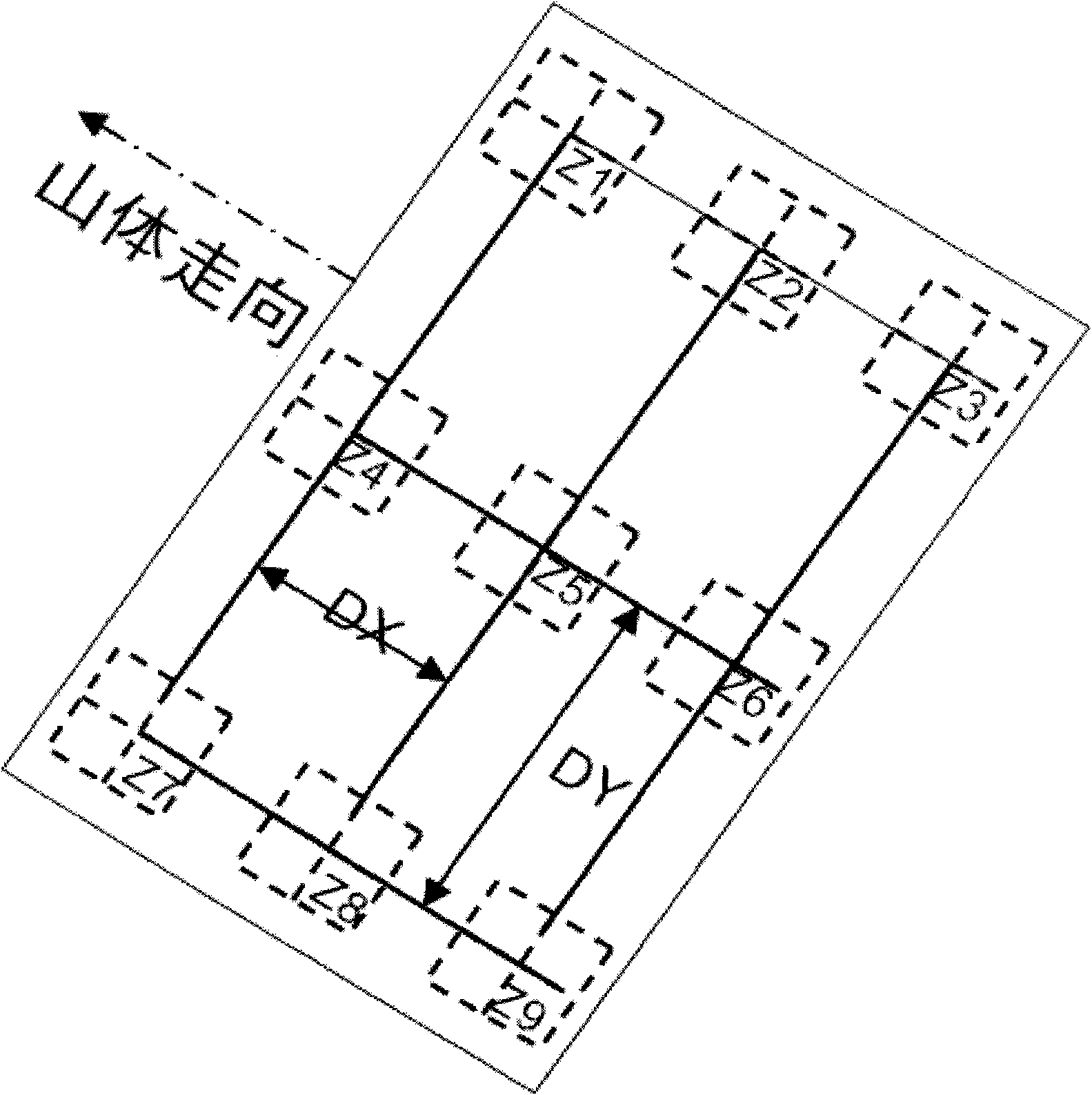
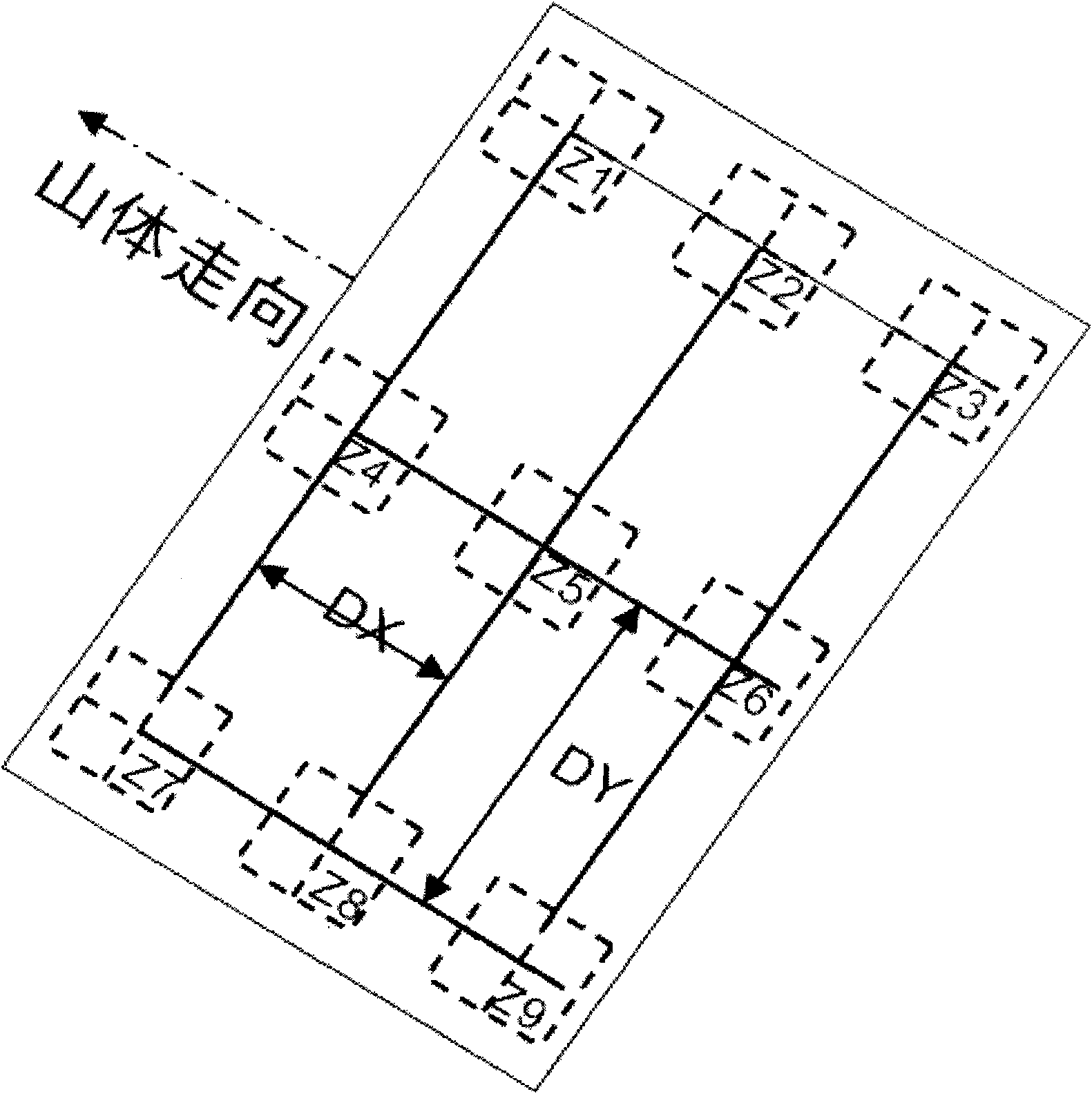
Optimum design method of seismic survey line by utilizing remote sensing information
A line surveying and remote sensing technology, which is applied in the field of oil field seismic exploration and remote sensing, can solve the problems of poor signal-to-noise ratio and achieve the effects of improving signal-to-noise ratio, improving feasibility, and improving excitation and receiving conditions
- Summary
- Abstract
- Description
- Claims
- Application Information
AI Technical Summary
Problems solved by technology
Method used
Image
Examples
Embodiment Construction
[0043] The large-scale ortho-remote remote sensing images collected on the spot and processed by orthorectification have high positioning accuracy and can reflect surface objects within 1 meter. They can be used to intuitively understand ground excitation and reception conditions and implementable conditions, such as: lowering the altitude The DEM extracted by using the remote sensing stereo image pair can reflect the elevation attribute more accurately, and the more accurate digital slope model can be extracted through it. The invention utilizes the remote sensing information in the complex surface seismic line deployment in the deployment of the survey line to solve the optimal design method of the seismic survey line.
[0044] The present invention adopts following steps to realize:
[0045] 1. To collect remote sensing images with a resolution of more than 5 meters, first use the 1:50,000 topographic map to select control points for pre-correction, and then select GCPs bas...
PUM
 Abstract
Description
Claims
Application Information
 - R&D
- Intellectual Property
- Life Sciences
- Materials
- Tech Scout
- Unparalleled Data Quality
- Higher Quality Content
- 60% Fewer Hallucinations
Browse by: Latest US Patents, China's latest patents, Technical Efficacy Thesaurus, Application Domain, Technology Topic, Popular Technical Reports.
© 2025 PatSnap. All rights reserved.Legal|Privacy policy|Modern Slavery Act Transparency Statement|Sitemap|About US| Contact US: help@patsnap.com


