A water elevation processing method based on insar to make dem

A processing method and water area technology, which are applied in the field of water elevation processing based on INSAR making DEM, can solve the problems of low efficiency and quality of making DEM, unable to guide airborne INSAR to make DEM, etc.

Inactive Publication Date: 2016-02-10
AERIAL PHOTOGRAMMETRY & REMOTE SENSING CO LTD
View PDF3 Cites 0 Cited by
  • Summary
  • Abstract
  • Description
  • Claims
  • Application Information

AI Technical Summary

Problems solved by technology

Due to the above-mentioned technical bottlenecks in the production of DEMs, there are two problems in the production of digital elevation models (DEMs) based on airborne INSAR: first, there are technical bottlenecks in the production of DEMs, and the efficiency and quality of DEMs are relatively low. Low; Second, the technical specifications of the traditional optical system can no longer guide the airborne INSAR to make DEM
[0003] To sum up, there is a lack of a water elevation processing method based on INSAR to make DEM with simple steps, reasonable design, convenient implementation, and good use effect. It can complete the water elevation processing process easily, quickly and with high quality. The elevation of the DEM produced higher precision

Method used


Image

  • A water elevation processing method based on insar to make dem
  • A water elevation processing method based on insar to make dem
  • A water elevation processing method based on insar to make dem

Examples


Embodiment Construction

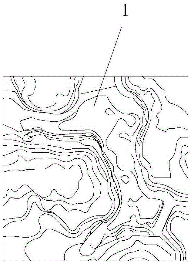
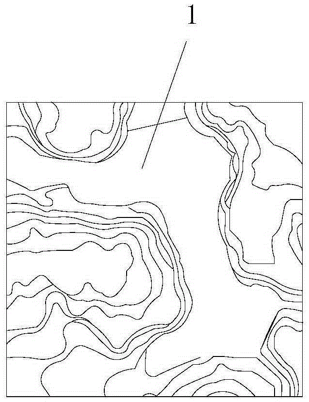
[0050] like figure 1 The water elevation processing method for making DEM based on INSAR is shown, including the following steps:

[0051] Step 1: Obtain the original measurement data of the measured area: use the airborne interferometric synthetic aperture radar (INSAR) to scan the terrain of the measured area in flight, and obtain the original DEM data and original DOM data of the measured area. The original DEM data is digital elevation data, and the original DOM data is digital orthophoto image data.

[0052] In actual measurement, the original DEM data and original DOM data of the measured area can be obtained by processing the original scan data obtained by the airborne interferometric synthetic aperture radar (INSAR) flight scan. Among them, the original DEM data is also called DEM original measurement data, and the original DOM data is also called DOM original measurement data.

[0053] Step 2. Water area elevation processing: perform elevation processing on the stil...


PUM


Abstract

The invention discloses a water area elevation processing method for making a DEM (Dynamic Effect Model) based on an INSAR (Interferometric Synthetic Aperture Radar). The water area elevation processing method comprises the following steps: 1, acquiring original measurement data of a region to be measured; 2, carrying out water area elevation processing, namely, performing elevation processing on a static water area and / or flowing water area in the region to be measured, wherein the static water area is processed as follows: 2011, judging level; 2012, processing the level, comprising the steps of I, extracting a bay line; II, assigning an elevation value on the bay line; and III, correcting the water level elevation; and the flowing water area is processed as follows: 2021, judging vertical adjustment; 2022, processing the vertical adjustment, comprising the steps of i, extracting a bay line; ii, assigning a bay line elevation and processing adjustment; iii, constructing an irregular triangular net and an interpolation water level elevation; and iv, correcting a water level elevation. The water area elevation processing method disclosed by the invention is simple in steps, reasonable in design, convenient to realize, good in use effect, and capable of simply and rapidly completing a water area elevation processing process with high quality; the made DEM is high in elevation precision.

Description

technical field [0001] The invention belongs to the technical field of radar interferometry, in particular to a water area elevation processing method for making DEM based on INSAR. Background technique [0002] INSAR (Interferometric Synthetic Aperture Radar; referred to as: Interferometric Radar Measurement) technology originated from the United States, and has been continuously improved and matured in developed countries in Europe and the United States, and its application fields have also been continuously promoted. In recent years, my country has carried out research on the application of airborne high-resolution InSAR technology in terrain mapping. Synthetic Aperture Radar Interferometry (InSAR) technology, especially airborne high-resolution InSAR technology, as a new and advanced technology, has been gradually applied to terrain mapping. The elevation data obtained by airborne INSAR can only get a set of ground elevation values ​​corresponding to each point of the r...

Claims


Application Information

Patent Timeline
Patent Type & Authority Patents(China)
IPC IPC(8): G01C13/00G01C5/00G01S13/90
CPCG01C5/00G01C13/004G01S13/90G01S13/9023
Inventor 原喜屯苗小利黄晓艳
Owner AERIAL PHOTOGRAMMETRY & REMOTE SENSING CO LTD
Why Eureka
Try Eureka