Design method for ODE physical engine-based vehicle terrain trafficability simulating and analyzing components
A technology of physics engine and simulation analysis, which is applied in the design field of vehicle terrain passability simulation analysis components, can solve the problems of long cycle, low research efficiency, and large consumption of manpower, material and financial resources, etc., to achieve short cycle, wide coverage, and economical The effect of preparation time
- Summary
- Abstract
- Description
- Claims
- Application Information
AI Technical Summary
Problems solved by technology
Method used
Image
Examples
specific Embodiment approach 1
[0039] Specific embodiment one: the design method of a kind of vehicle terrain passability simulation analysis component based on ODE physics engine of this embodiment is specifically prepared according to the following steps:
[0040] Step 1. On the VisualStudio platform, use the GDAL function library to read the terrain elevation data represented by the SEDRIS standard; wherein, reading the terrain elevation data represented by the SEDRIS standard includes .dt1 files, .aux files and .rrd files;
[0041] .dt1 files are used to store elevation data;
[0042]The .aux file is a file used to save the auxiliary information that the raster file itself cannot save. The .aux file and the raster file are stored in the same directory, and the file name is consistent with the raster file;
[0043] The .rrd file is an image pyramid file. If an image pyramid has been created for a raster dataset, the aux file also saves the pointer to the save path of the .rrd file;
[0044] Step 2. Util...
specific Embodiment approach 2
[0066] Specific embodiment two: the difference between this embodiment and specific embodiment one is: in step one, read the terrain elevation data represented by the SEDRIS standard as follows:
[0067] (1), using the open source library GDAL for operating raster format and the open source library GDAL for vector geographic data format to read terrain elevation data;
[0068] (2) Use the GDALRasterBand::RasterIO function (read band data function) in the GDAL function library to read the terrain elevation data stored in the .aux file. Since the elevation data is a zero-order single-item digital landform model, it will be read The retrieved terrain elevation data is stored in the established two-dimensional array for subsequent terrain construction.
specific Embodiment approach 3
[0069] Specific embodiment three: the difference between this embodiment and specific embodiment one or two is that in step two, the ODE physics engine is used to construct a dynamic simulation model, and the specific process of constructing a three-dimensional terrain model by reading terrain elevation data in the dynamic simulation model :
[0070] (1), the triangle mesh (trimesh) class and the heightfield (heightfield) class in the ODE physics engine can be used to represent the three-dimensional terrain; because the instability of the trimesh class and the incompatibility to the convex body, so the present invention adopts ODE internal The Highland class represents a 3D terrain model;
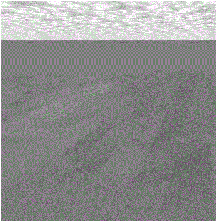
[0071] (2) Use the Triangulated Irregular Network algorithm (TIN) to read the terrain elevation data of the SEDRIS standard, and construct a three-dimensional terrain model according to the terrain elevation data in the dynamic simulation model, as shown in Figure 3(a) and Figure 3(b) ) sh...
PUM
 Abstract
Description
Claims
Application Information
 - R&D
- Intellectual Property
- Life Sciences
- Materials
- Tech Scout
- Unparalleled Data Quality
- Higher Quality Content
- 60% Fewer Hallucinations
Browse by: Latest US Patents, China's latest patents, Technical Efficacy Thesaurus, Application Domain, Technology Topic, Popular Technical Reports.
© 2025 PatSnap. All rights reserved.Legal|Privacy policy|Modern Slavery Act Transparency Statement|Sitemap|About US| Contact US: help@patsnap.com


