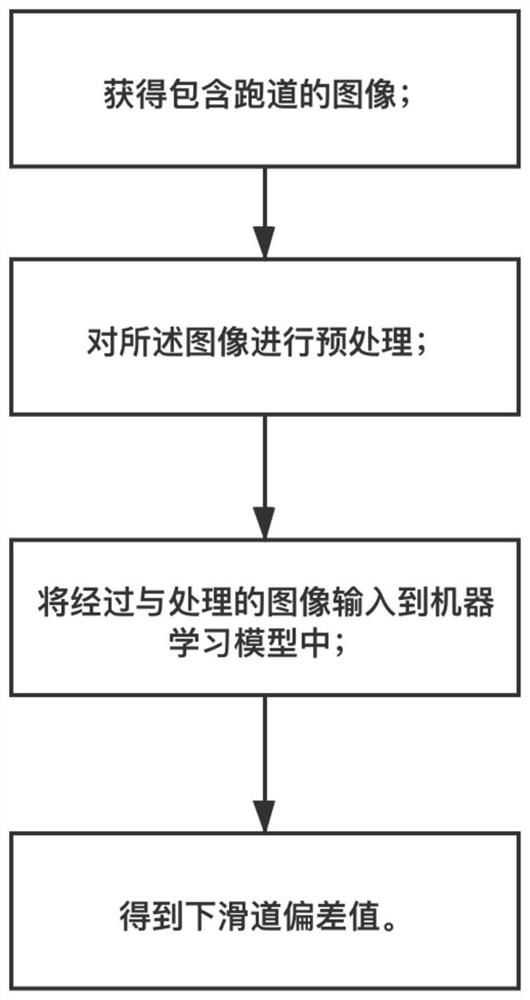
Glide slope deviation determination system and method, and aircraft
A method of determination, technology of aircraft, applied in the field of digital image processing and aviation, to achieve good positive results
- Summary
- Abstract
- Description
- Claims
- Application Information
AI Technical Summary
Problems solved by technology
Method used
Image
Examples
Embodiment 1
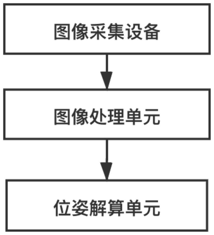
[0040] In an embodiment provided by the present invention, an aircraft attitude determination system is provided, and the system includes an image acquisition device, an image processing unit, and a pose calculation unit.
[0041] The image acquisition device is installed on the aircraft and is used to collect image data containing key information of the runway; the image acquisition device uses a CCD camera and should meet the specification requirements of GJB 7083. At the same time, the image pixels collected by the image collection device are at least 680×680. In this embodiment, the image data collected by the image acquisition device is taken from the perspective of the driver, ensuring that the field of view of each frame of image can cover the runway during the entire advanced landing, and its focal length should ensure that the runway is clearly visible.
[0042] The image processing unit preprocesses the image data, and can process the image of the image acquisition d...
Embodiment 2
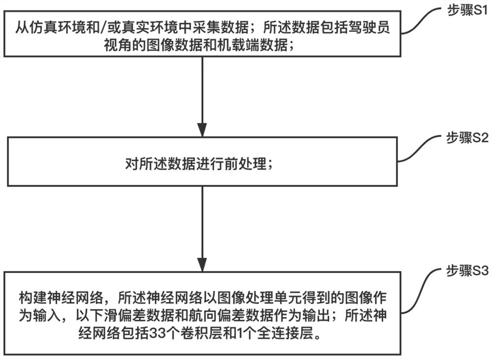
[0064] Embodiment 2 is the same as Embodiment 1 in structure and composition of the glide slope deviation system, the difference lies in that the training method for the glide slope deviation prediction model based on machine learning in the pose calculation unit is different. Embodiment 2 uses the data collected from the real environment during training, and the data collection process of the model before training is as follows:
[0065] Collect data from the real environment: the data includes image data from the driver's perspective and airborne data; in order to achieve data diversity, in different weathers, including sunny, cloudy, low visibility and stormy, etc., as well as morning, middle and evening At three different times, the video images of the approach and landing of the aircraft were collected from a position 3 nautical miles away from the runway threshold. Then the airborne data corresponding to the image data is obtained from the aircraft bus. The airborne dat...
PUM
 Abstract
Description
Claims
Application Information
 - R&D Engineer
- R&D Manager
- IP Professional
- Industry Leading Data Capabilities
- Powerful AI technology
- Patent DNA Extraction
Browse by: Latest US Patents, China's latest patents, Technical Efficacy Thesaurus, Application Domain, Technology Topic, Popular Technical Reports.
© 2024 PatSnap. All rights reserved.Legal|Privacy policy|Modern Slavery Act Transparency Statement|Sitemap|About US| Contact US: help@patsnap.com


