

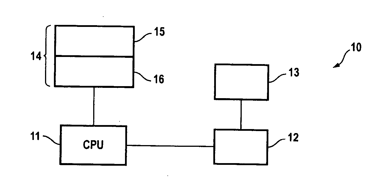
Navigation and inspection system
a technology of inspection system and navigation system, applied in navigation instruments, instruments, image enhancement, etc., can solve the problems of accidental rollover and loss of current gps, and achieve enhanced change detection and enhanced shadow
- Summary
- Abstract
- Description
- Claims
- Application Information
AI Technical Summary
Benefits of technology
Problems solved by technology
Method used
Image

Examples
Embodiment Construction
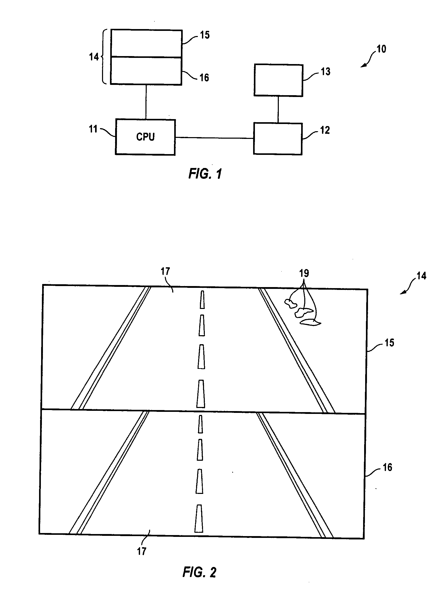
[0018] Others, in the past, have taught methods of recording images and associating them with GPS or geographic coordinate data to provide playback that was position, rather than time dependent. For example, reference is made to U.S. Pat. No. 6,741,790, the disclosure of which is incorporated by reference. The '790 patent teaches a system including hardware and software which are configurable and operable in three modes, namely, recording mode, indexing mode and playback mode. In the recording mode, the hardware employed therein is connected to a GPS receiver and video recording device and permits GPS data to be recorded on the same recording medium that images are recorded on using the video recording device. As a result, a particular geographic location associated with particular images can be directly referenced by GPS data. After recording the images, the hardware device is connected to a computer having the appropriately installed software causing the GPS data to be transferred...
PUM
 Abstract
Description
Claims
Application Information