Fine digital terrain model based road surveying method

A ground model and digital technology, applied in electrical digital data processing, special data processing applications, instruments, etc., can solve the low degree of automation of internal data processing, laser point cloud elevation system errors, and the inability to build more precise ground models, etc. problems, to achieve intelligent automatic processing and batch processing of data, high position accuracy and accuracy, and ensure the quality of highway surveying and design.

Active Publication Date: 2012-08-01
GUANGDONG PROVINCE COMM PLANNING & DESIGN INST
View PDF5 Cites 21 Cited by
  • Summary
  • Abstract
  • Description
  • Claims
  • Application Information

AI Technical Summary

Problems solved by technology

The defect of this kind of measuring method is: (1) this method is still used so far, technically there is no substantive development, and the place of improvement is only that measuring instrument is improved to total station and GPS-RTK by tape measure, theodolite, leveling instrument, yet , since the determination of the normal direction of the middle pile (that is, the direction of the cross section) is an approximate value, the accuracy error is likely to exceed the standard limit in areas with large terrain fluctuations; (2) the low degree of automation in office data processing leads to work efficiency (3) In terms of work flow, the traditional cross-sectional measurement method can only start work after the preliminary design review and adjust the plane line position according to the review opinions. Therefore, once the fixed measurement line position is slightly modified afterwards, the original The results of local cross-sectional surveys are basically scrapped, and it is necessary to set broken chain piles and carry out supplementary surveys in the field, which will greatly increase the repetitive labor. If the survey and design period is short, only enough skilled human resources and equipment can be invested to ensure the survey progress and quality. In this way, the construction cost is greatly increased
The laser point cloud elevation measurement accuracy of airborne LIDAR can meet the requirements of 1:2000 digital topographic map. Compared with

Method used


Image

  • Fine digital terrain model based road surveying method
  • Fine digital terrain model based road surveying method
  • Fine digital terrain model based road surveying method

Examples


Embodiment Construction

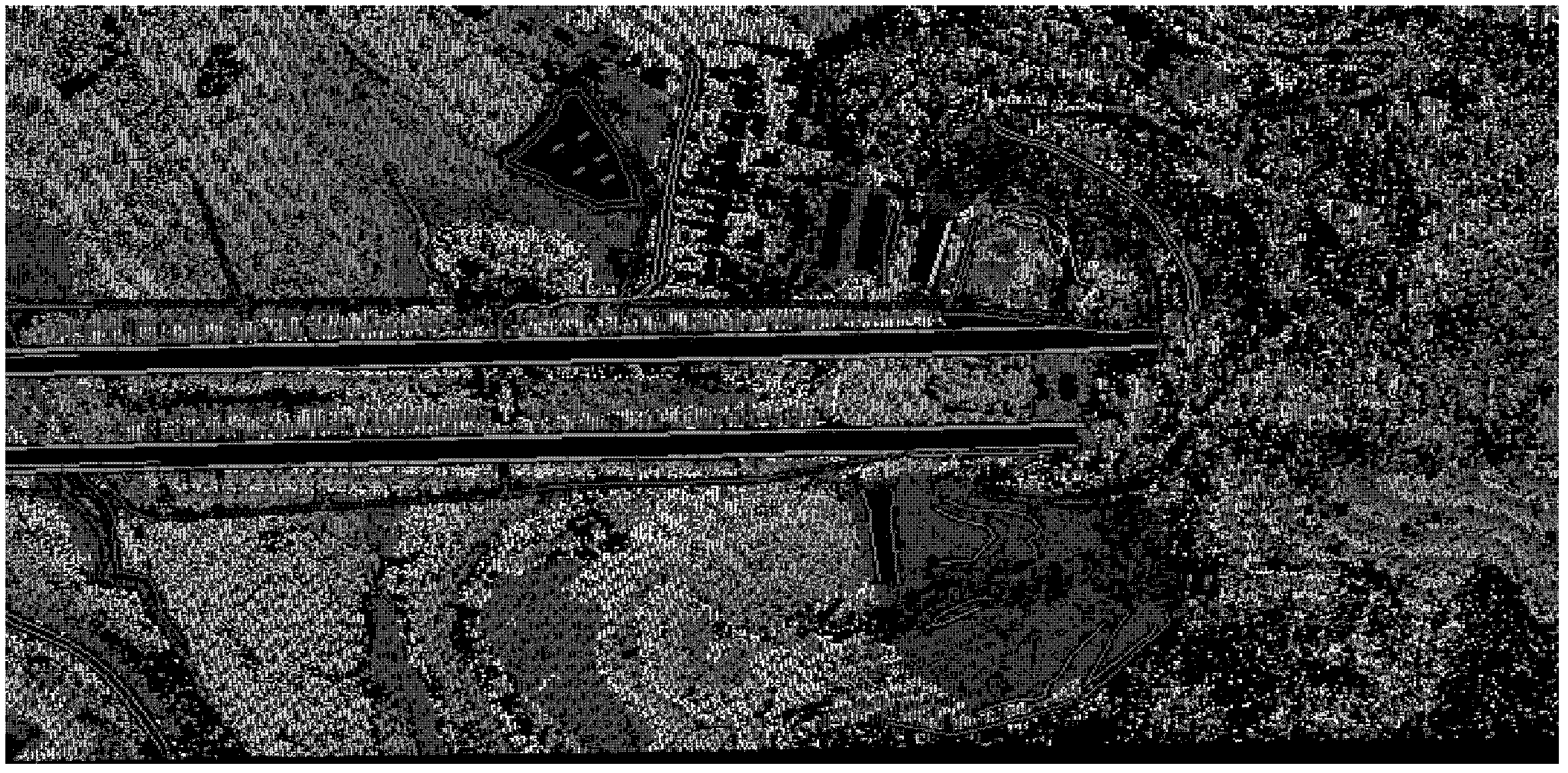
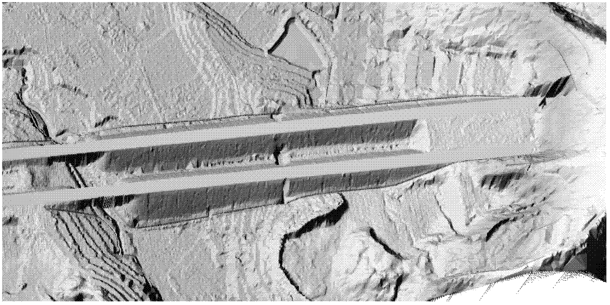
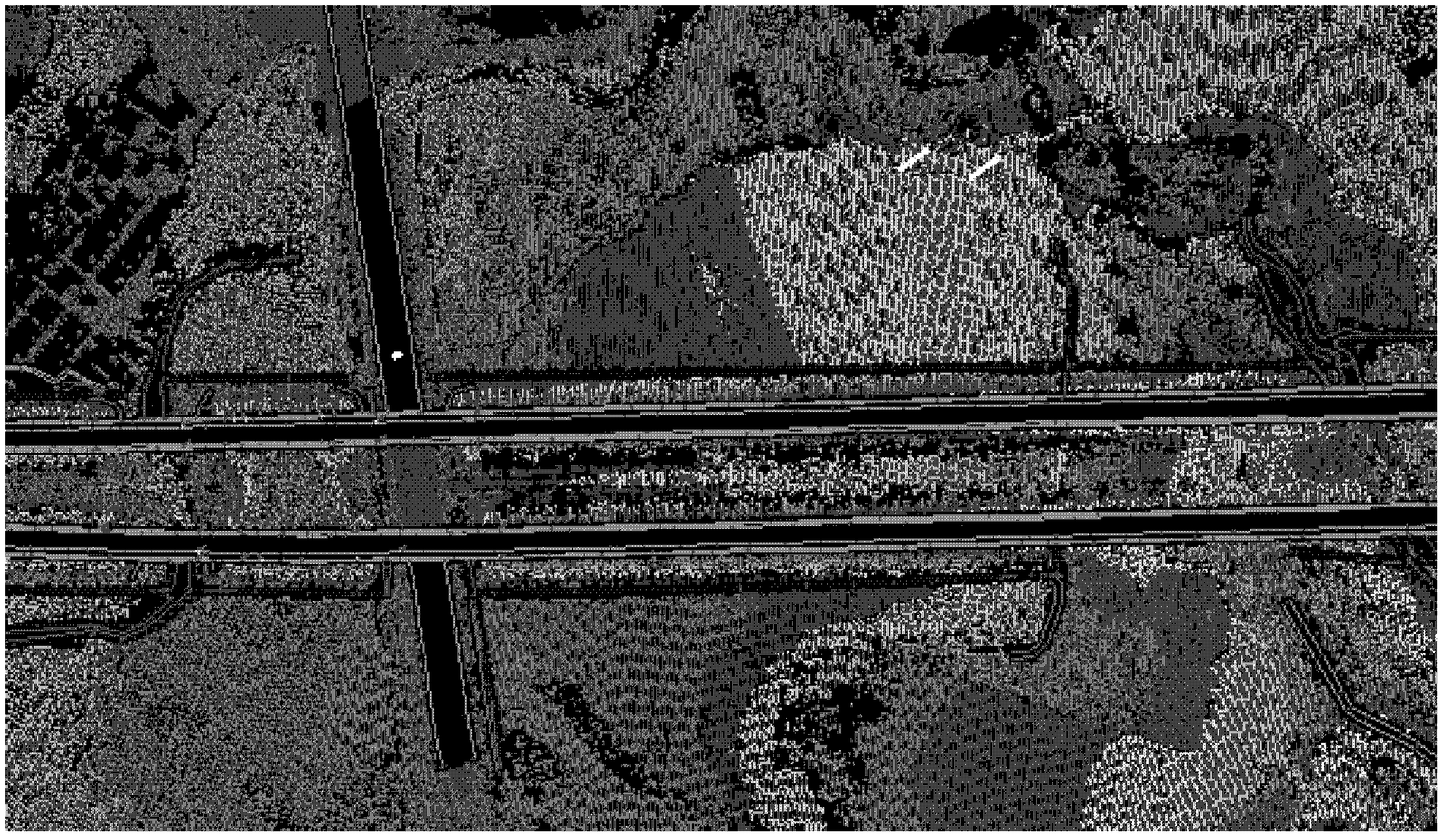
[0063] Such as Figure 1-9 Shown, a kind of highway surveying and setting method based on fine digital ground model of the present invention specifically comprises the following steps:

[0064] 1. In the measurement stage, according to the scale and grade of the highway survey and design project, determine the source data collection method and operation route, and the source data includes point sets and line sets used to build a fine digital ground model;

[0065] The specific meanings of the scale and grade of highway survey and design projects are: scale refers to the length and workload of the road in the scope of work, for example, the longer the road, the greater the workload and the larger the scale; while the grade refers to the road grade, precision Requirements, etc. In this technical field, there is no definite limit to the division of the scale of highway survey and design projects. For example, a 10-kilometer secondary road and a 50-kilometer first-class road can b...


PUM


Abstract

The invention discloses a fine digital terrain model based road surveying method, specifically comprising the following steps of: firstly, in the stage of location survey, according to the scale and level of a road surveying and designing item, confirming a source data acquiring mode and a work route, wherein the source data comprise point sets and line set, which are used for building a fine digital terrain model; secondly, cooperatively compiling a road AUTOCAD and the source data to form into a data source; thirdly, building the fine digital terrain model according to the data source; and fourthly, outputting the surveying data which accord with design requirements of specialties in an itemizing way in details. According to the fine digital terrain model, the planning can be quickly carried out, a plurality of schemes can be compared and selected, and each parameter concerned with the survey and design can be quickly queried, so that the huge and complex road surveying and designing work can be greatly simplified; and not only can the road surveying quality be guaranteed, but also the data acquiring work can be furthest simplified, so that the cooperative work of each specialty of the road survey and design can be effectively realized, and the road surveying and designing construction period can be shortened.

Description

technical field [0001] The invention relates to the technical field of highway survey and design, in particular to a highway survey and design method based on a fine digital ground model. Background technique [0002] The planning and design of highways are closely related to the characteristics of the ground. The digital terrain model uses digital technology to express the characteristics of the ground, and has been widely used in the stages of highway planning, preliminary design of highways and design of highway construction drawings. [0003] At present, the general steps of the existing road survey and design work are: 1. Preliminary survey stage: (1) the surveying and mapping department completes the 1:2000 digital topographic map according to the approved work line provided by the design department; (2) the design department completes the The 1:2000 digital topographic map establishes a digital ground model for the data source, conducts large-scale line selection and ...

Claims


Application Information

Patent Timeline
IPC IPC(8): G01C11/02G06F17/50
Inventor 邱赞富阳德胜刘朋朋刘定吴兴礼汤敏王志明杨雪喻雄
Owner GUANGDONG PROVINCE COMM PLANNING & DESIGN INST
Why Eureka
Try Eureka