Multi-dimensional time sequence classification method based on mahalanobis distance DTW

A time series and Mahalanobis distance technology, applied in the field of multi-dimensional time series classification based on Mahalanobis distance DTW, can solve the problems of unsatisfactory fixed point segmentation effect, inaccurate measurement results, and inaccurate classification results. The results are compact, the measurement results are not accurate enough, and the coupling degree is high.

Active Publication Date: 2015-09-16
HARBIN INST OF TECH
View PDF5 Cites 21 Cited by
  • Summary
  • Abstract
  • Description
  • Claims
  • Application Information

AI Technical Summary

Problems solved by technology

[0004] The purpose of the present invention is to solve the problem of unsatisfactory fixed-point segmentation for satellite telemetry data, inaccurate measurement results and inaccurate classification results due to correlation between multidimensional time series and small offsets in time series , and proposed a multidimensional time series classification method based on Mahalanobis distance DTW

Method used


Image

  • Multi-dimensional time sequence classification method based on mahalanobis distance DTW
  • Multi-dimensional time sequence classification method based on mahalanobis distance DTW
  • Multi-dimensional time sequence classification method based on mahalanobis distance DTW

Examples


specific Embodiment approach 1

[0053] Specific Embodiment 1: A multidimensional time series classification method based on Mahalanobis distance DTW in this embodiment is specifically prepared according to the following steps:

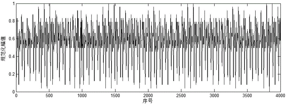
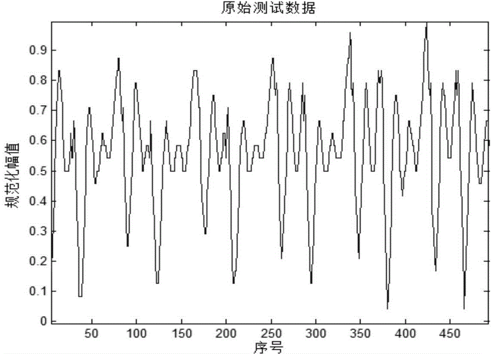
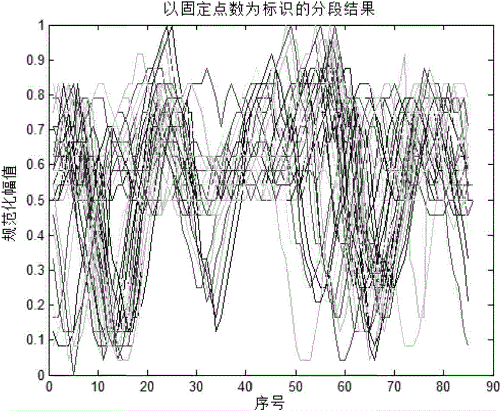
[0054] Step 1: Segment the historical satellite telemetry data Y under the normal operating state of the satellite with the point of the argument mutation point as the mark, and obtain the normal multidimensional time series X={x 1 ,x 2 ,...,x j ,...x n}, where Y is n d row n a Columns of historical satellite telemetry data matrix, n d is the dimension value of multidimensional time series, n a is the number of data points of all historical satellite telemetry data, x j for n d row n len The column data matrix represents the jth sequence of X, j=1,2,...,n,n len is the length of the time series, n is the number of members in X;

[0055] Step 2. Multidimensional time series X={x obtained after segmentation 1 ,x 2 ,...,x j ,...x n}, through the hierarchical clustering meth...

specific Embodiment approach 2

[0067] Specific embodiment 2: The difference between this embodiment and specific embodiment 1 is that in step 1, the argument angle is one of the test parameters of the satellite telemetry data, and the change rule of the argument angle is from 0 ° to 360 °, which has an obvious cycle. , the argument angle value changes from 360° to 0° as the point of the argument angle mutation. Other steps and parameters are the same as those in Embodiment 1.

specific Embodiment approach 3

[0068] Specific embodiment three: the difference between this embodiment and specific embodiment one or two is that: in step one, the historical satellite telemetry data Y under the normal operation state of the satellite is segmented with the argument point of change, and the normal multi-dimensional time series is obtained X={x 1 ,x 2 ,...,x j ,...x n} The specific process is:

[0069] (1) When the argument angle reaches 360°, it will change to 0° and start to increase again, and the point from 360° to 0° is the abrupt change point of the argument angle;

[0070] (2) Record the corresponding time of the argument sudden change point;

[0071] (3) According to the time corresponding to the argument mutation point, extract the test data within the time corresponding to two adjacent argument mutation points as time series; where the multidimensional time series is composed of multiple time series; where the test data is partial Attitude angle, flywheel speed and bus voltage...


PUM


Abstract

The invention discloses a multi-dimensional time sequence classification method based on mahalanobis distance DTW, and relates to the multi-dimensional time sequence classification method. In order to solve the problems that aiming at satellite telemetry data, a fixed point segmentation effect is non-ideal, due to the facts that relativity exists between multi-dimensional time sequences and small deviation exists between the time sequences, a measuring result is not accurate, therefore a classification result is not accurate, and the multi-dimensional time sequence classification method based on the mahalanobis distance DTW is provided. The method comprises the steps that 1 a multi-dimensional time sequence X={x <1>, x <2>, ..., x<j>, ..., x<n>} used for training and a classification label L={l<1>, l<2>, ..., l<n>}are obtained; 2 a to-be-classified multi-dimensional time sequence X'={x' <1>, x' <2>, ..., x'<j>, ..., x'<n>} is extracted; 3 a DTW distance sequence between the X'={x' <1>, x' <2>, ..., x'<j>, ..., x'<n>} and the X={x <1>, x <2>, ..., x<j>, ..., x<n>} is calculated; 4 classification is conducted on the to-be-classified multi-dimensional time sequence X'={x' <1>, x' <2>, ..., x'<j>, ..., x'<m>} according to neighboring numbers of K which is set by using a KNN classification method based on the mahalanobis DTW distance, and the classification of the to-be-classified multi-dimensional time sequence is determined. The method is applied to the field of multi-dimensional time sequence classification.

Description

technical field [0001] The invention relates to a multidimensional time series classification method based on Mahalanobis distance DTW. Background technique [0002] By analyzing the yaw attitude angle in the satellite telemetry data, the overall change trend of the yaw attitude angle is as follows: figure 1 As shown, its details change as figure 2 As shown, the satellite telemetry data has obvious periodicity, and this characteristic has been confirmed with the satellite telemetry data provider. By analyzing each period of the telemetry data, it can be concluded whether the satellite’s operating status within the period is normal, and the effect of segmenting the satellite telemetry data according to the fixed point is not ideal, such as image 3 As shown, the coupling degree between the various time series obtained after segmentation is not high enough, there is a certain deviation, and this deviation will become more and more obvious as time goes on. [0003] Classifi...

Claims


Application Information

Patent Timeline
Patent Type & Authority Applications(China)
IPC IPC(8): G06F17/30
CPCG06F16/35
Inventor 刘大同陈静彭宇彭喜元
Owner HARBIN INST OF TECH
Why Eureka
Try Eureka