Satellite image automatic cloud detection method based on Gaussian mixture model
A Gaussian mixture model and satellite image technology, applied in the field of remote sensing image processing, can solve problems such as the difficulty of reflecting the advantages of multi-spectral synthesis method, and achieve the effects of fast calculation speed, strong scalability and less misjudgment
- Summary
- Abstract
- Description
- Claims
- Application Information
AI Technical Summary
Problems solved by technology
Method used
Image
Examples
Embodiment Construction
[0038] In order to better understand the technical solutions of the present invention, the present invention will be further described in detail below in conjunction with the accompanying drawings and embodiments.
[0039] This specific implementation mode is realized by programming in C language under the environment of Microsoft Visual C++6.0, and the whole process can realize automatic processing.
[0040] Step 1, histogram statistics and preprocessing.
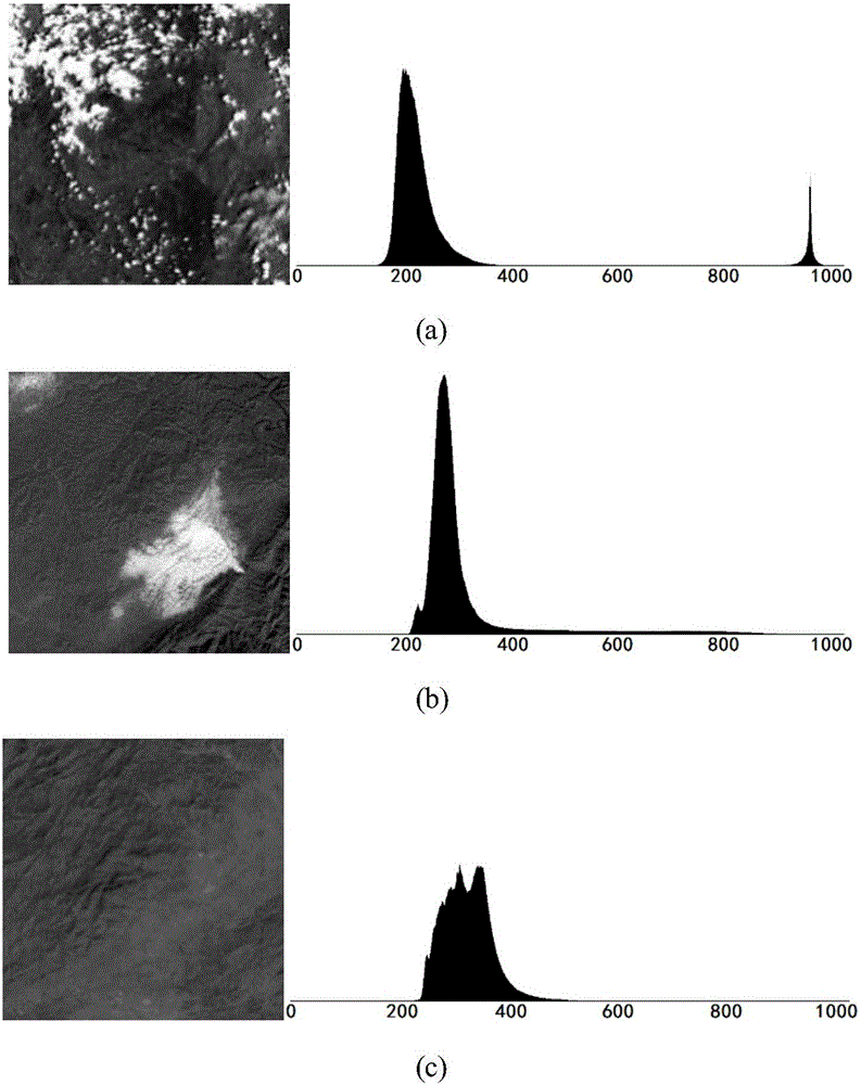
[0041] Read the satellite image and count the original gray histogram of the satellite image. The gray histogram can reflect the statistical characteristics of the gray distribution of the image. Due to the complexity of the radiation characteristics of the ground object itself, and the abnormal (extreme) response of the sensor CCD in some cases, the histogram will be disturbed by "noise". Therefore, before analyzing the gray histogram, it needs to be preprocessed.
[0042] The specific implementation of this step is as ...
PUM
 Abstract
Description
Claims
Application Information
 - R&D
- Intellectual Property
- Life Sciences
- Materials
- Tech Scout
- Unparalleled Data Quality
- Higher Quality Content
- 60% Fewer Hallucinations
Browse by: Latest US Patents, China's latest patents, Technical Efficacy Thesaurus, Application Domain, Technology Topic, Popular Technical Reports.
© 2025 PatSnap. All rights reserved.Legal|Privacy policy|Modern Slavery Act Transparency Statement|Sitemap|About US| Contact US: help@patsnap.com


