Karst ground collapse prediction and forecasting method based on karst water dynamics
A karst water and karst technology, applied in the field of forecasting, can solve the problems of complex calculation methods, such as the inability to make forecasts for several days or even less time, and achieve the effect of high operability
- Summary
- Abstract
- Description
- Claims
- Application Information
AI Technical Summary
Problems solved by technology
Method used
Image
Examples
Embodiment 1
[0035] First of all, through the research on the distribution area of soil collapse, it is found that in the distribution area of soil collapse, the loose soil is not too thick, and the failure of the soil cave roof arch corresponding to the size of the opening of the karst cave on the contact surface between the soluble rock and the soil occurs. Karst ground subsidence; when the thickness of the overlying soil in the karst cave is large enough to form a stable cave arch, the karst ground subsidence will not occur. Due to the strong destructibility of loose soil, the covered carbonate rock karst development area is the area where karst ground subsidence occurs most severely. Cavities are formed, which rapidly develop into ground subsidence. However, no matter what type of collapse occurs, the collapsed body will fall into the karst cave when it occurs, causing the karst water to be disturbed and the water level and water quality to change. Especially for overburden karst ...
Embodiment 2
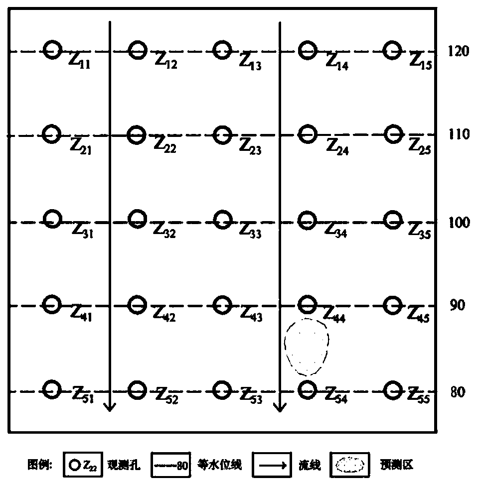
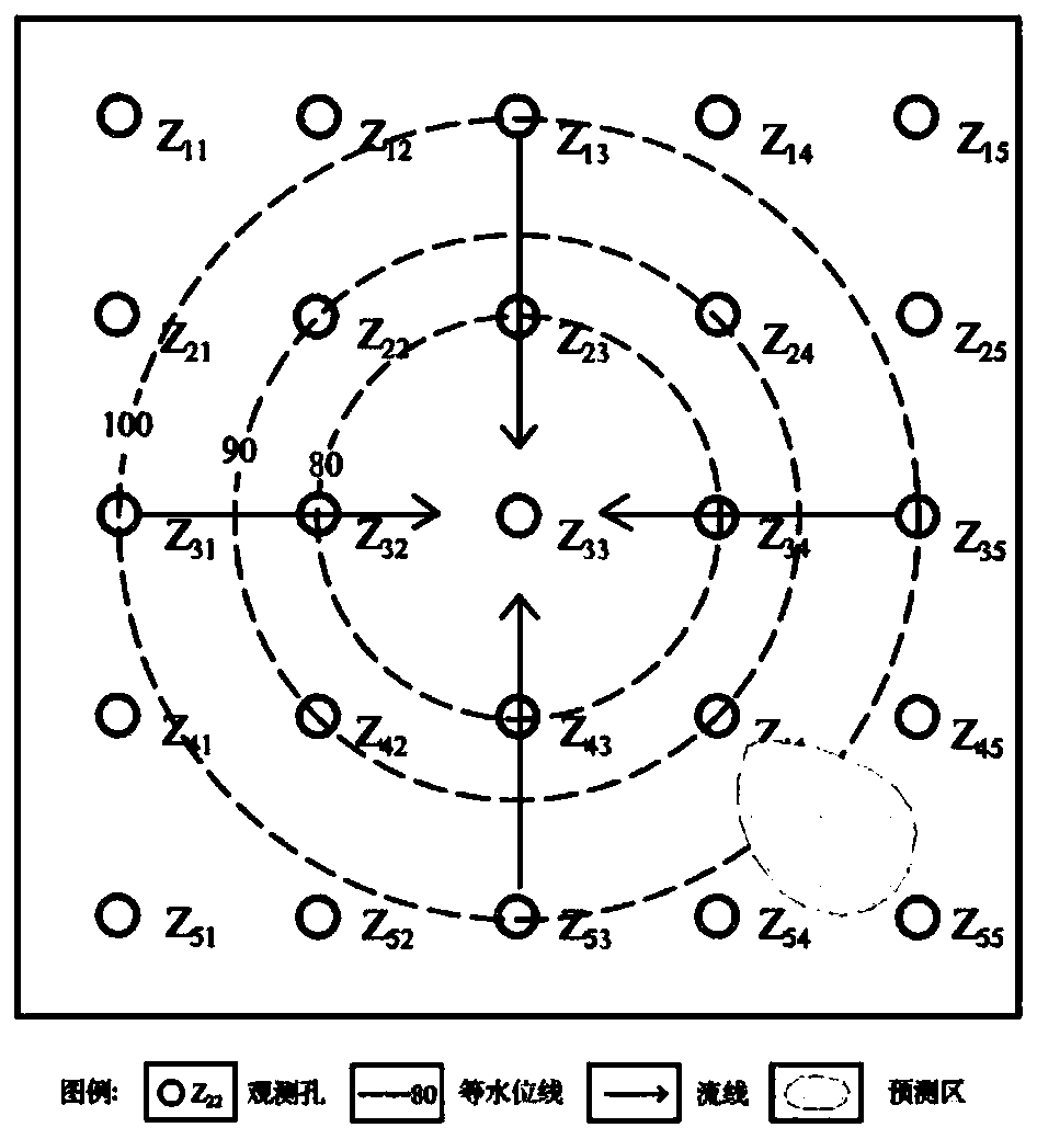
[0049] In order to further illustrate the forecasting method provided by the present invention, the present embodiment is in a concealed limestone area with a large risk of karst ground subsidence of 2km × 2km, where the karst is developed and the loose deposits are distributed homogeneously and isotropically. The method of arranging observation holes at a certain distance in the vertical and horizontal directions establishes a water level and quality monitoring network and realizes real-time transmission of water levels. Water quality can also be detected through the online water quality monitoring system. - , SO 4 -2 , NO 3 - 、K + 、Na + , Ca 2+ , Mg 2+ content) and transmit in real time. Installing a water level monitor can determine the direction of karst water movement in real time and grasp the dynamics of water quality changes in real time.
[0050] In order to further illustrate the delineation of the subsidence risk area of the karst ground, the principle fol...
Embodiment 3
[0057] In order to further illustrate the practicability and beneficial effects of the forecasting method provided by the present invention, a village is taken as an example to illustrate the application of the method. This area is located in the piedmont denudation plain area, the terrain in the area is open, the landform type is single, the terrain is relatively flat, the terrain is high in the north and low in the south, and slightly inclines towards the river. There have been geological disasters of karst collapse in this area. According to statistics, there were 17 ground collapses in the northwest of the village, and the collapse range was about 60,000m. 2 , there are 3 subsidences in the west, and the subsidence range is about 10000m 2 . The planar shape of the subsidence pits is mostly round-elliptical, mainly in the shape of wells or altars. The diameter of the pit mouth is generally 5-6m, the maximum is 10m, and the visible depth is 5-7m. A total of 50 landslides h...
PUM
 Abstract
Description
Claims
Application Information
 - R&D
- Intellectual Property
- Life Sciences
- Materials
- Tech Scout
- Unparalleled Data Quality
- Higher Quality Content
- 60% Fewer Hallucinations
Browse by: Latest US Patents, China's latest patents, Technical Efficacy Thesaurus, Application Domain, Technology Topic, Popular Technical Reports.
© 2025 PatSnap. All rights reserved.Legal|Privacy policy|Modern Slavery Act Transparency Statement|Sitemap|About US| Contact US: help@patsnap.com


