Map construction method and device based on laser point cloud

A laser point cloud and map construction technology, applied in the computer field, can solve problems such as complex acquisition process, squashing of noisy areas such as vehicles and pedestrians, and unaligned shadows.

Pending Publication Date: 2019-11-01
BEIJING JINGDONG SHANGKE INFORMATION TECH CO LTD +1
View PDF7 Cites 28 Cited by
  • Summary
  • Abstract
  • Description
  • Claims
  • Application Information

AI Technical Summary

Problems solved by technology

[0005] In the aircraft shooting mode, since the aircraft is at a certain height from the road surface, the captured road surface area is often blocked by trees, vehicles and pedestrians, resulting in a relatively narrow visual range of the road surface area, so the definition is not high, so it is difficult to directly apply In the field of simulation system and map generation
In addition, this method is limited by hardware conditions such as aircraft jurisdiction and remote control, so the collection process is complicated and difficult to promote;
[0006] In the road perspective projection and stitching method, it is assumed that the road surface is level and free of debris. However, this assumption is not true in many cases, and some raised objects (such as trees, road cliffs) are often included in the projected road front view. Flat, so there are noise areas such as flattened vehicles and pedestrians
In addition, when the road surface is not horizontal, there are ghost images that cannot be aligned in the stitching gap, which makes the image definition of the stitching not high

Method used


Image

  • Map construction method and device based on laser point cloud
  • Map construction method and device based on laser point cloud
  • Map construction method and device based on laser point cloud

Examples


Embodiment Construction

[0084] Exemplary embodiments of the present invention are described below in conjunction with the accompanying drawings, which include various details of the embodiments of the present invention to facilitate understanding, and they should be regarded as exemplary only. Accordingly, those of ordinary skill in the art will recognize that various changes and modifications of the embodiments described herein can be made without departing from the scope and spirit of the invention. Also, descriptions of well-known functions and constructions are omitted in the following description for clarity and conciseness.

[0085] To achieve the above object, according to an aspect of the embodiments of the present invention, a laser point cloud based map construction method is provided.

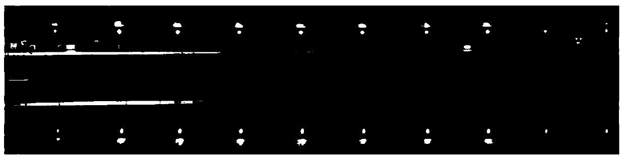
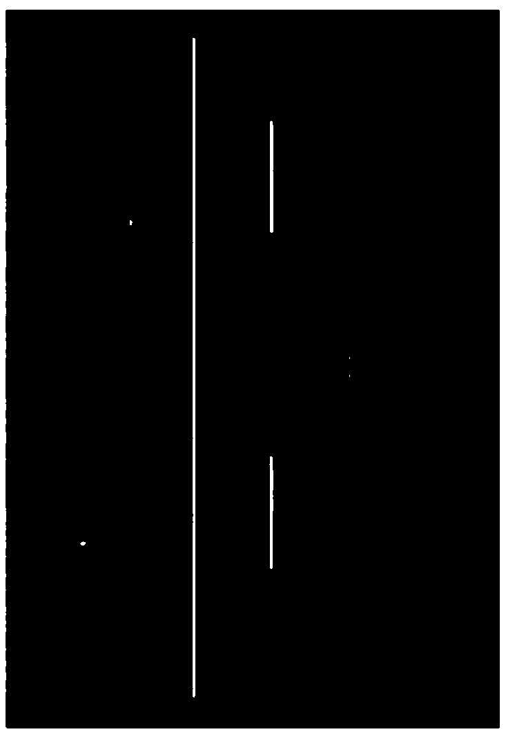
[0086] image 3 is a schematic diagram of the main flow of the laser point cloud-based map construction method according to an embodiment of the present invention. Such as image 3 As shown, the map cons...


PUM


Abstract

The invention discloses a map construction method and device based on laser point cloud, and relates to the technical field of computers. A specific embodiment of the method comprises the steps of collecting image information and laser point cloud of a to-be-constructed region, and determining a matching relationship between each point cloud point in the laser point cloud and a pixel point of eachimage in the image information; splicing the laser point cloud into an environment map of the to-be-constructed area, and extracting a target area from the spliced environment map; and constructing amap of the target area according to the point cloud of the target area and the matching relationship. According to the embodiment, the target area is extracted based on the laser point cloud, and themap of the target area is constructed according to the matching relationship between each point cloud point in the laser point cloud and the pixel point of each image, so that the construction of thetarget area map completed by image back projection is realized, the construction process is simple, the definition is high, and the noise area is less.

Description

technical field [0001] The invention relates to the field of computer technology, in particular to a laser point cloud-based map construction method and device. Background technique [0002] Road front view (also known as bird's eye view) is a road surface front view image similar to aerial photography (such as figure 1 shown), it can be applied to road texture maps in urban street scene simulation, assisting operators in completing automatic map generation and guiding unmanned vehicles to drive automatically. The existing road front view acquisition methods mainly include two categories: [0003] 1) Taken by an aircraft. This method is to use a video capture device mounted on the aircraft to look down and capture the front view of the road street view image. Figure 2(a) is the front view of the road taken by the aircraft. 2) The road perspective view is projected and spliced. This method uses a vehicle-mounted camera device to capture a perspective video of the road and s...

Claims


Application Information

Patent Timeline
Patent Type & Authority Applications(China)
IPC IPC(8): G06T11/60G06T11/40G06T5/00G06T3/00
CPCG06T11/60G06T11/40G06T5/005G06T3/005G06T5/002G06T2207/10032G06T2207/30181
Inventor 李艳丽杨恒邸永昌赫桂望蔡金华
Owner BEIJING JINGDONG SHANGKE INFORMATION TECH CO LTD
Why Eureka
Try Eureka